
Good afternoon,The comfortable conditions continue today, under mostly cloudy skies. A southerly breeze will help get temperatures back into the low 80s.The heat and humidity begin to build on Wednesday, as highs climb to the mid-80s. Dew points also rise to the upper 60s to around 70 degrees, bringing back the sticky feel. Showers are possible early, then a few showers and thunderstorms may develop during the afternoon. Some storms may be strong or severe, producing gusty winds. Due to the severe threat, the News 8 Storm Team has designated Wednesday as an Impact Day.The News 8 Storm Team has also designated Impact Days for Thursday and Friday due to high heat & humidity, as well as strong to severe thunderstorms. Highs are expected to reach the low 90s on Thursday and Friday. Feels like temperatures will range from the mid to upper 90s.Daily records may be reached in some areas. Thursday will be the hottest day of the week. The record high is 96° set in 1911. The record for Friday is 92, set in 2017. We don’t get much relief at night, with lows not cooling below 70 degrees. We may also challenge morning low records as well.With the building heat and humidity, the chance of afternoon and evening thunderstorms will increase on both days, with the greater threat on Friday during the afternoon and evening as a cold front approaches. In fact, the Storm Prediction Center has placed the Susquehanna Valley in a Marginal Risk. A 1 on a scale of 1 to 5 means there is a chance for isolated severe storms with damaging wind gusts and large hail being the primary threats. There is a greater risk for severe weather on Friday.Temperatures will remain hot through the weekend, with highs hovering around 90 degrees. Skies will be partly sunny, and it looks now to stay dry.Next week features more opportunities for showers and storms, while temperatures ease back to more seasonable highs.Have a great day!
Good afternoon,
The comfortable conditions continue today, under mostly cloudy skies. A southerly breeze will help get temperatures back into the low 80s.
The heat and humidity begin to build on Wednesday, as highs climb to the mid-80s. Dew points also rise to the upper 60s to around 70 degrees, bringing back the sticky feel. Showers are possible early, then a few showers and thunderstorms may develop during the afternoon. Some storms may be strong or severe, producing gusty winds. Due to the severe threat, the News 8 Storm Team has designated Wednesday as an Impact Day.
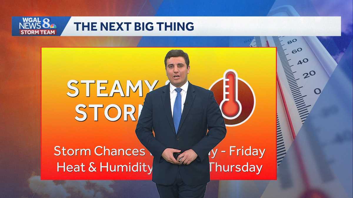
The News 8 Storm Team has also designated Impact Days for Thursday and Friday due to high heat & humidity, as well as strong to severe thunderstorms. Highs are expected to reach the low 90s on Thursday and Friday. Feels like temperatures will range from the mid to upper 90s.
Daily records may be reached in some areas. Thursday will be the hottest day of the week. The record high is 96° set in 1911. The record for Friday is 92, set in 2017. We don’t get much relief at night, with lows not cooling below 70 degrees. We may also challenge morning low records as well.
With the building heat and humidity, the chance of afternoon and evening thunderstorms will increase on both days, with the greater threat on Friday during the afternoon and evening as a cold front approaches. In fact, the Storm Prediction Center has placed the Susquehanna Valley in a Marginal Risk. A 1 on a scale of 1 to 5 means there is a chance for isolated severe storms with damaging wind gusts and large hail being the primary threats. There is a greater risk for severe weather on Friday.
Temperatures will remain hot through the weekend, with highs hovering around 90 degrees. Skies will be partly sunny, and it looks now to stay dry.
Next week features more opportunities for showers and storms, while temperatures ease back to more seasonable highs.
Have a great day!