
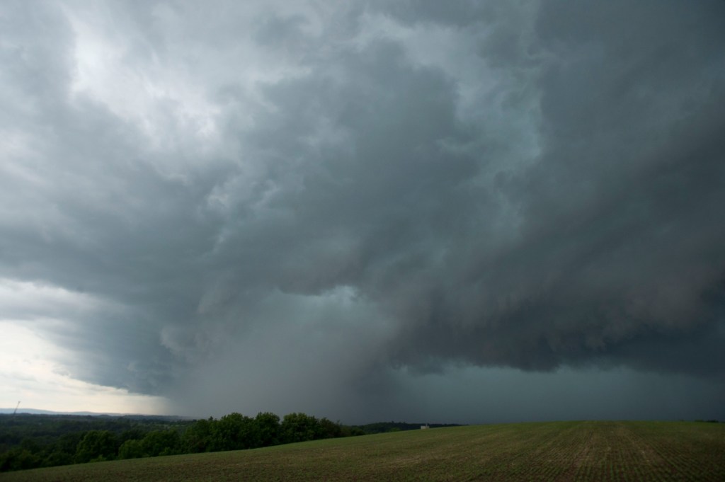
With two days of oppressive heat and humidity set to end, the Lehigh Valley was once again facing the threat of severe thunderstorms Friday evening. However, that threat did not materialize.
The National Weather Service has issued a severe thunderstorm watch for most of eastern Pennsylvania, including the Valley, until 9 p.m.
A severe thunderstorm watch has been issued for parts of Connecticut, Massachusetts, New Jersey, New York and Pennsylvania until 9 PM EDT pic.twitter.com/bh6cR6DFCG
— NWS Mount Holly (@NWS_MountHolly) June 12, 2026
Storms capable of producing gusts up to 70 mph, frequent lightning and isolated hail up to quarter size were possible, according to the watch.
In an update on its social media channels Friday afternoon, the weather service’s Mount Holly, N.J., forecast office noted that there would likely be fewer storms than Thursday evening, with some areas not seeing any at all.
The weather service noted that wind gusts would be the primary threat from any storms that do impact the region. People were advised to remain alert for changing weather conditions.
⛈️ A few severe storms are possible again later this afternoon and evening. Coverage of storms is anticipated to be lower than Thursday, and not everyone will see storms. Damaging wind gusts are the main threat today. Remain alert for changing conditions! #PAwx #NJwx #DEwx #MDwx pic.twitter.com/rSG3NTlRkd
— NWS Mount Holly (@NWS_MountHolly) June 12, 2026
However, around 7 p.m., the weather service at Mount Holly said the thunderstorm threat had ended across the forecast region. However, storms were still possible to the northeast in the New York City metro area.
The latest round of storms comes as a heat advisory expired Friday evening. High temperatures in the Lehigh Valley reached the 90s, tying the record of 92 at Lehigh Valley International Airport. Heat index values were closer to 100 due to the high humidity.
Saturday’s high will only be slightly lower, in the upper 80s; however, the humidity will be considerably lower, making it feel more pleasant, according to the weather service.
A chance of showers and thunderstorms returns to the forecast again Sunday, but giving way to much cooler but sunny conditions to start next week.
Here is the extended forecast:
Saturday: Sunny, with a high near 87. Northwest wind around 5 mph.
Saturday Night: Mostly clear, with a low around 64. Calm wind.
Sunday: Showers and possibly a thunderstorm, mainly after 2 p.m. High near 87. Light south wind becoming southwest 5 to 10 mph in the morning. Winds could gust as high as 20 mph. Chance of precipitation is 80%. New rainfall amounts between a tenth and quarter of an inch, except higher amounts possible in thunderstorms.
Sunday Night: Showers and possibly a thunderstorm, mainly before 2 a.m. Low around 61. Chance of precipitation is 80%. New rainfall amounts between a quarter and half of an inch possible.
Monday: Mostly sunny, with a high near 75.
Monday Night: Partly cloudy, with a low around 56.
Tuesday: Mostly sunny, with a high near 78.
Tuesday Night: Partly cloudy, with a low around 58.
Wednesday: A chance of showers. Mostly sunny, with a high near 81. Chance of precipitation is 30%.
Wednesday Night: A chance of showers. Partly cloudy, with a low around 61. Chance of precipitation is 30%.
Thursday: Showers likely. Partly sunny, with a high near 86. Chance of precipitation is 70%.