
South-central Pennsylvania could see scattered showers and thunderstorms Thursday morning as a cold front moves through, bringing brief downpours, lightning and isolated gusty winds during the morning commute. Timing The best chance for storms will be between 6 a.m. and 10 a.m. The WGAL News 8 Storm Team has declared Thursday an Impact Morning, meaning the weather could disrupt your normal routine. Below: See the predicted radar for Thursday morning’s storms. Main threats Scattered storms could produce: Brief heavy downpours Isolated gusty or damaging winds Occasional lightning The storms are not expected to become a widespread severe weather event, but drivers should be prepared for some downpours and wet roads during the morning hours. Risk levels Areas mainly south of Route 30 remain under a Slight Risk (Level 2/5) for severe weather. Areas mainly north of Route 30 have been lowered to a Marginal Risk (Level 1/5). Afternoon turns mostly dry Once the cold front moves through, most of the region should dry out for the afternoon, although a stray thunderstorm with gusty winds is still possible. Thursday will turn partly sunny, with highs in the upper 80s, rising humidity and breezy west winds of 10 to 20 mph. Did you capture a moment that you would like to share with News 8? Send us your photos or videos at https://www.wgal.com/upload.
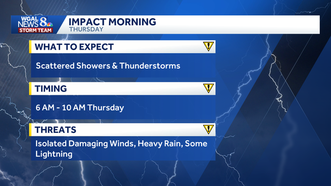
South-central Pennsylvania could see scattered showers and thunderstorms Thursday morning as a cold front moves through, bringing brief downpours, lightning and isolated gusty winds during the morning commute.
Timing
The best chance for storms will be between 6 a.m. and 10 a.m.
The WGAL News 8 Storm Team has declared Thursday an Impact Morning, meaning the weather could disrupt your normal routine.
Below: See the predicted radar for Thursday morning’s storms.
Main threats
Scattered storms could produce:
Brief heavy downpours Isolated gusty or damaging winds Occasional lightning
The storms are not expected to become a widespread severe weather event, but drivers should be prepared for some downpours and wet roads during the morning hours.
Risk levels
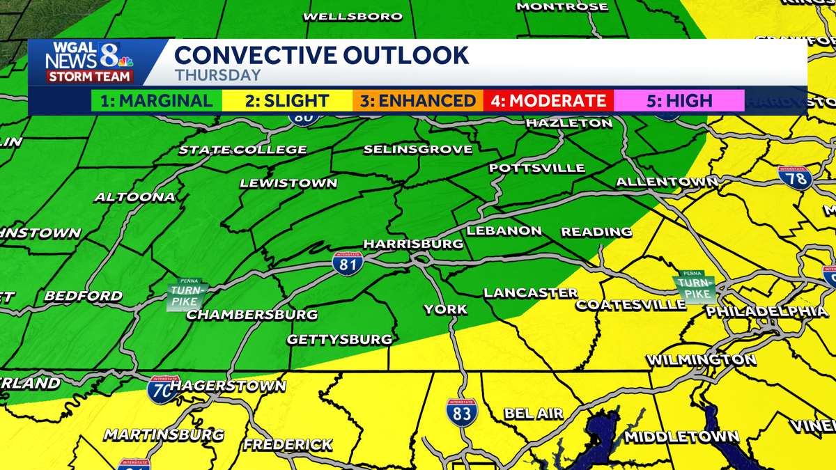
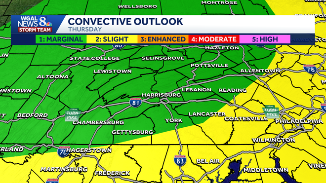
Areas mainly south of Route 30 remain under a Slight Risk (Level 2/5) for severe weather.
Areas mainly north of Route 30 have been lowered to a Marginal Risk (Level 1/5).
Afternoon turns mostly dry
Once the cold front moves through, most of the region should dry out for the afternoon, although a stray thunderstorm with gusty winds is still possible.
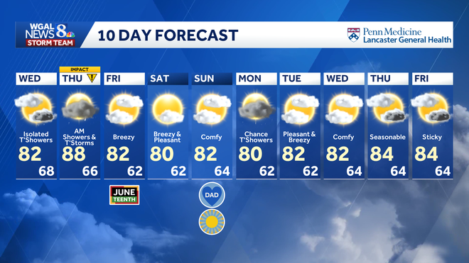
Thursday will turn partly sunny, with highs in the upper 80s, rising humidity and breezy west winds of 10 to 20 mph.
Did you capture a moment that you would like to share with News 8? Send us your photos or videos at https://www.wgal.com/upload.