
Meteorologists at the National Weather Service in Pittsburgh are lowering their projections of possible tornadoes and damaging winds on Thursday.
A storm they were monitoring in Illinois and northern Indiana has moved farther south and into Missouri, meteorologist Jason Frazier said Wednesday night.
Original projections had tornadoes across the Ohio River Valley at about 2% and wind gusts of at least 30-40 mph between 15-25% from 2-8 a.m.
Frazier said new data has reduced those chances with the latter reduced to about 5-10% Thursday morning.
Wind gusts of more than 40 mph are even less likely.
People should expect some showers starting around midnight with an 80-90% chance of rain between 2-8 a.m.
Frazier said Thursday afternoon and evening should be mostly dry with wind gusts possible.
“The overall threat for hazardous weather (and) for damaging winds is going down,” Frazier said. “That doesn’t mean we necessarily drop our guard. These probabilities aren’t zero. Weather remains fluid. It’s always changing.”
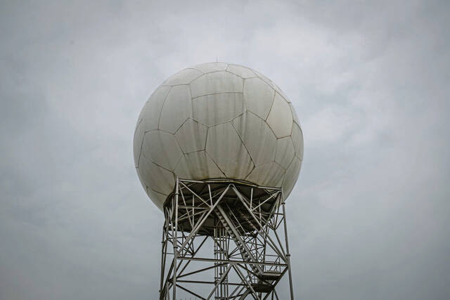
He said meteorologists will continue to monitor radar and other imaging to update projections.
Temperatures for Thursday include a low of 68 degrees rising an 80-degree high. Thursday overnight into Friday is expected to be 58 degrees.
A video of the system the NWS was watching, narrated by Frazier, was posted to its Twitter page and YouTube channel. People are encouraged to go to that page for further updates.