
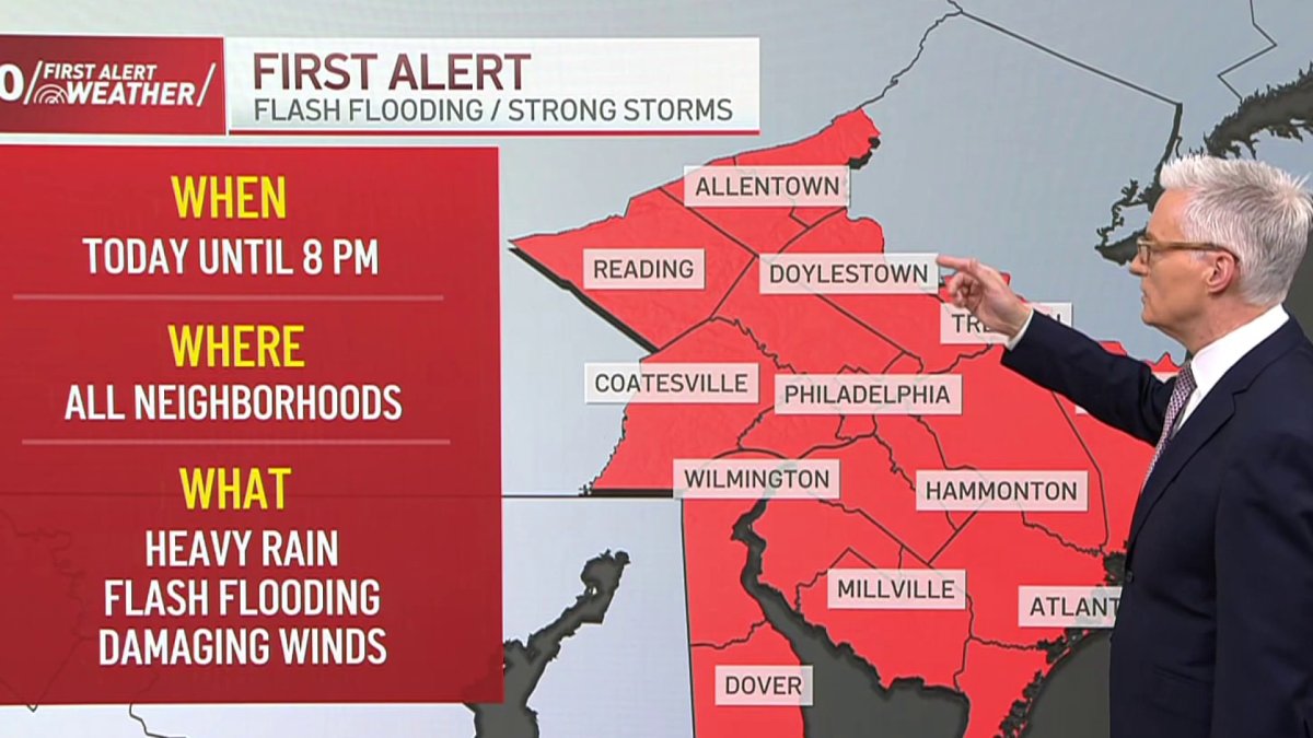
A First Alert for flash flood threat continues Monday as storms are expected to develop once again this afternoon, taking advantage of the very moist atmosphere leading to downpours over already saturated ground.
The flood threat is not as great as it was on Sunday night. Those heavy storms have moved out and we’re getting a bit of a lull this morning. But the next round of showers and thunderstorms looks likely to develop during the afternoon, mainly across Delaware and South Jersey.
This is the area with a slightly lower risk of flash flooding, while areas north and west, if the storms were to repeat, flash flooding would be more likely. As it sits right now, the storm threat has shifted south into Delaware and South Jersey, while it looks much quieter today for southeastern Pennsylvania. The National Weather Service has a flood watch in effect until 8 p.m. this evening.
For Philadelphia, expect a mostly cloudy with afternoon showers and thunderstorms possible and a high of 80°.
Tuesday will be mostly cloudy, with a break from the storms and a high of 80°.
Beautiful weather returns Wednesday with lots of sunshine, lower humidity, and a high of 85°.
Then the chance of showers returns at the end of the week, Thursday through Saturday with hotter and more humid conditions building by Friday afternoon. Friday looks like the hottest day of the week with a high near 90° feeling like 95° Friday afternoon.
This coming weekend brings a chance of showers Saturday afternoon before becoming partly sunny Sunday. Highs in the 80s for both days.