
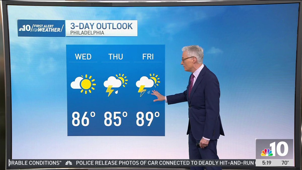
We’ll be treated to a nice summer day today with morning temperatures in the 60s, warming into the mid 80s this afternoon.
Fairly typical for July with less humidity than we’ve seen in recent days.
Partly sunny today, but clouds are building tonight ahead of a cold front that brings us the threat of storms for tomorrow and Friday.
Increasing clouds with a chance of showers Thursday morning and strong to severe thunderstorms possible in the afternoon.
Damaging winds are possible, and with the increase in humidity we could see some downpours leading to flash flooding on Thursday and possibly Friday, too.
Another round of showers and thunderstorms Friday afternoon.
Both days will be steamy, but Friday will be the hotter of the two days. Thursday a high of 85°, near 90° Friday with feels like temperatures closer to the mid 90s Friday afternoon.
A few lingering showers Saturday morning, then we’ll get some breaks of sunshine in the afternoon as we dry out. Sunday will be partly to mostly sunny, a nice summer day with a high of 87°, and the nice weather continues into next week Monday.
But, the heat returns next week, we’re facing another heat wave.
Temperatures reaching into the low 90s starting Tuesday with sunny skies.