
It’s a muggy Friday morning in the Philadelphia region with some pockets of fog to start with that won’t last long. Any fog will dissipate as temperatures climb and we’re looking at a hotter day with afternoon temperatures near 90°. With the higher humidity, it will feel like the lower 90s by Friday afternoon.
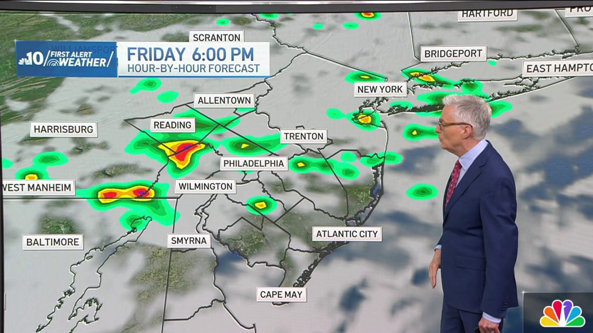
Sunshine Friday morning will give way to increasing clouds this afternoon with a chance of some late day storms. The threat is much more limited than Thursday, but storms could still produce damaging wind and localized flash flooding, so we’re keeping a close eye on it.
The cold front that may trigger storms is slowly pushing toward our area and will continue pushing through the region during the day Saturday. We’ll see clouds break for some sunshine, but there’s still a chance of an isolated shower popping up Saturday afternoon, mainly over South Jersey. Most of Saturday should be dry, however.
Then finally that front pushes to the south, ushering in some really nice weather for Sunday and Monday. Humidity comes way down with mostly sunny skies as well as a high of 86° on Sunday and up to 87° on Monday.
Then here comes the heat. We’re back to the 90s with a heat wave brewing next week. Tuesday afternoon will be 94° and then we’ll be closer to 100° on Wednesday with humidity building. Heat alerts may be necessary as temperatures near 100° Wednesday afternoon will feel like 105°.
It stays hot Thursday and Friday, though temperatures come down a bit with a high of 96° Thursday and lower 90s by Friday afternoon. Then we’re back to the 80s next weekend with partly sunny skies.
Get the latest weather updates by downloading the NBC10 app and following the NBC10 First Alert Weather team.