
(WBRE/WYOU) — This evening is a Weather Alert time period because of the chance of heavy rain and gusty winds.
Scattered showers and thunderstorms will move across central and northeastern Pennsylvania this evening. The primary threat is a tropical downpour. The secondary threat will be gusty winds. The good news is that it will not be a steady rain. The rest of the night will be warm and muggy. Areas of fog will develop with low temperatures in the lower and middle 60s.
Send Your Weather Photos to Report It
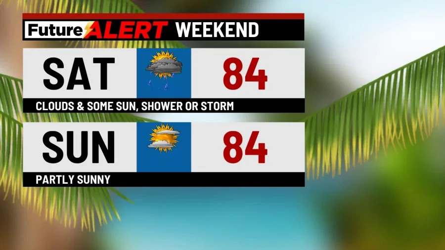
Morning fog and clouds will try to break for some afternoon sunshine on Saturday. However, a shower or thunderstorm is still possible at any point through the day. I wouldn’t cancel outdoor plans although you should be weather aware! High temperatures will be in the lower and middle 80s with a bit of humidity. The humidity will drop a touch more on Sunday. The second half of the weekend will feature a mix of sun and clouds. Temperatures will be in the lower 80s.
It will get much warmer next week! Monday’s highs will range between 85 and 90. The humidity will be more noticeable on Monday, but it will be really ramp up on Tuesday and Wednesday. Adding salt to the wound, it will be rather hot as temperatures push into the upper 80s and lower 90s. Temperatures will fall back into the 80s by the end of next week. In terms of rain, an isolated shower or storm is possible on Monday and Wednesday. A few showers and storms are in the forecast on Thursday.
You can stay current on all the latest weather alerts and track the storm using the Future Alert Interactive Radar.
Copyright 2026 Nexstar Media, Inc. All rights reserved. This material may not be published, broadcast, rewritten, or redistributed.
For the latest news, weather, sports, and streaming video, head to 28/22 News.