
SHORT TERM FORECAST
TODAY: Smoky/hazy skies with very unhealthy air. High: 85
TONIGHT: Partly cloudy, hazy/smoky. Low: 66
SATURDAY: Hazy/smoky skies with scattered showers/t-storms; humid. High: 83 Low: 68
FORECAST SUMMARY
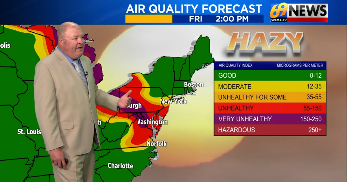
**Air Quality PURPLE Today**
The hazy/smoky skies will continue Friday with Code Purple Air Quality Alert. That means very unhealthy to hazardous air quality conditions across the entire region! The heat will subside, ending the 90° weather before more shower and storm chances return for the weekend. The Storm Prediction Center has the Lehigh Valley under a slight risk for severe weather on Saturday, and is something to be on the lookout for. Saturday is the best chance of rain, and the rain is expected to subside by Sunday morning. Sunday and Monday appear to be largely dry, leading us into Tuesday which is the next best chance of rain, with some lingering showers possible early Wednesday morning.
DETAILED FORECAST
FRIDAY
On Friday we will continue to see hazy/smoky skies due to wildfires to our north. We have a Code Purple Air Quality Alert day, meaning very unhealthy to hazardous air quality for the entire region! We will continue to see decreasing humidity Friday, and highs will hold in the middle 80s this afternoon. It also looks to remain mostly dry for the remainder of the work week, ahead of the weekend.
THIS WEEKEND
By the weekend, a slower moving and stronger cold front will slide through the area, settling somewhere nearby or likely to our south. A severe weather outlook has been issued for Saturday in the area. That will put us on the cooler side of the front with highs dropping into the low 80s for the weekend, but we’ll also see more moisture/humidity, and more rain chances. Saturday’s humidity is around 70°, and is the best chance of rain. While no washouts look likely as of yet, some scattered showers and thunderstorms will likely be fixtured in the forecast for Saturday and early Sunday morning, and perhaps into early next week with the front not in a hurry to go anywhere. When it gets a little closer, we’ll hopefully be able to better time out the rain chances and determine which days look wetter than others.
NEXT WEEK
On Monday we start the week out dry but, Tuesday looks to be the next best chance of rain. Tuesday and Wednesday will be our more humid days of the week. Highs will average mid 80s, slightly below seasonable temperatures. There might be a morning shower on Wednesday that we will continue to monitor.