
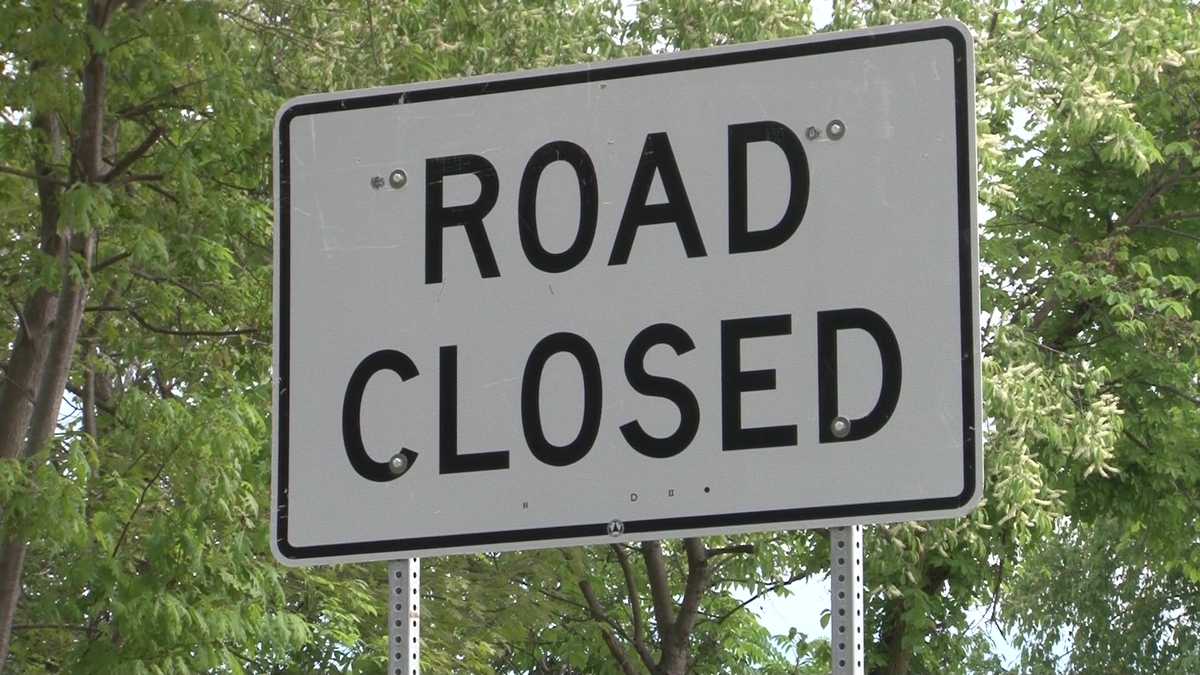
Large water main break shuts down Baldwin borough road for hours, officials say
Turning now to Pittsburgh’s action weather with meteorologist Jill Sweat. So good news, the air quality is *** little better. It’s slowly improving, but as we ease into some better feeling air, we’re going to enter *** stormy territory too on the severe weather alert day. It’s not just severe weather, but also *** flooding risk as we are monitoring both threats across Western Pennsylvania, most of the region included in that enhanced or numerous risks for severe thunderstorms, damaging winds leading the way there. But also you can see that stripe of yellow with the rainfall that now also. Corresponds with *** brand new flood watch literally just issued before we came back from sports. This is going to run from Clarion to Armstrong, Westmoreland, Indiana, Fayette County also back into Preston and Garrett County. This will run through midnight tonight as the slow moving downpours and stronger thunderstorms could lead to some issues with flooding *** little later on today. Here’s how things will play out still tracking some downpours moving through the 422 and I-80 corridor this morning. Also future cast picking up on some downpours that they’ve also taken shape across West. Moreland County that set up could extend through about 120, 1 o’clock today. This is the main focus though of our severe weather alert day. This is after 4 o’clock. Cold front sagging southward that is going to bring *** line of thunderstorms given the nature of things, damaging winds again leading the way with our severe potential. That line really starting to stretch out, potentially even intensifying as we work into the 567 o’clock hour time frames. That would be the main timeframe that we see activity around Allegheny County also extending. Towards Washington, Greensburg, even up around Indiana too, that line starts to break down as it moves past the I-70 corridor. Not to say that those of you closer to the West Virginia border are out of the woods. It’s just *** lot of those storms will be worked over. We’ll monitor some redevelopment on the backside, although any secondary storms more than likely aren’t going to pack quite as much of *** punch as we would have already dealt with severe weather earlier in the afternoon and this evening. So it is *** severe weather alert day. Rain storms mainly showing up after 4 o’clock with. Action tracking from north to south, 83 or high temperature 80 tomorrows will ease up on the humidity, then right back into that July feeling Monday that leads us to an impact day on Tuesday which does have the potential to be upgraded to an alert day as we could see more severe weather coming in right now on the radar just some itty bitty showers showing up outside of La Trobe that is going to continue to work through the Laurel Highlands for the most part that rain is generally light. Another one just showing up around export, but we saw *** lot of lightning early this morning. We’ll see. More lightning with those stronger thunderstorms that will develop into the afternoon. Another view of the radar as these storms continue to push out. Air quality is improving. That haze starting to lighten up just *** little bit. You can actually see some of the sunny rays trying to come through over downtown Pittsburgh in your 12 hour forecast again, that severe weather alert day window opens up after 4 o’clock, extending through 8 p.m. today as the storms end and the winds shift, that haze comes back, but it’s not going to be quite as thick as what we dealt. With yesterday and the day before, and most of the smoke is going to stay elevated in the atmosphere, so that shouldn’t impact air quality so much tomorrow. Certainly *** nicer note to end the weekend in your 4 day plus 4 more forecast next day to pay attention to will be Tuesday with scattered rain, even some thunderstorms that may push the severe limits. That system brings *** welcome change as we’re toning down the summer heat and humidity. Lows in the 50s, have highs in the 70s late next week. Now we’re talking. All right, thanks.
Large water main break shuts down Baldwin borough road for hours, officials say

Updated: 11:46 AM EDT Jul 18, 2026
Residents are being urged to use caution and find an alternative route following a serious water main break impacting a popular road in Allegheny County. VIDEO: July 18 Severe Weather Alert Day: Late-day strong storms and flash flooding for western PA Baldwin borough police said in a post on Facebook that a large water main break is impacting the 3300 block of Churchview Avenue. Officials said that due to the incident, Churchview Avenue is closed between Romanus and Mary Ann. The utility company working to fix the break expects the closure to continue for most of the day Saturday. As of 11 a.m., no new updates have been given. Pittsburgh’s Action News 4 will provide new updates as they are made available. Download the WTAE app to stay connected with breaking news. Sign up for our email newsletters to get breaking news in your inbox.
BALDWIN, Pa. —
Residents are being urged to use caution and find an alternative route following a serious water main break impacting a popular road in Allegheny County.
VIDEO: July 18 Severe Weather Alert Day: Late-day strong storms and flash flooding for western PA
Baldwin borough police said in a post on Facebook that a large water main break is impacting the 3300 block of Churchview Avenue.
Officials said that due to the incident, Churchview Avenue is closed between Romanus and Mary Ann.
The utility company working to fix the break expects the closure to continue for most of the day Saturday.
As of 11 a.m., no new updates have been given.
Pittsburgh’s Action News 4 will provide new updates as they are made available.
Download the WTAE app to stay connected with breaking news. Sign up for our email newsletters to get breaking news in your inbox.