
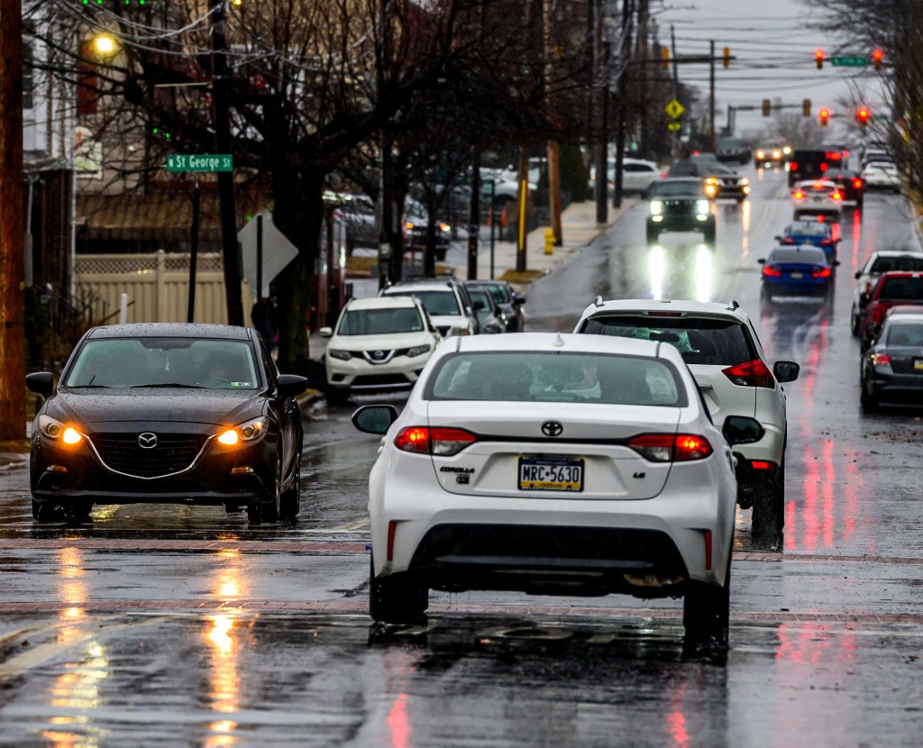
Severe thunderstorms, flash flooding and damaging winds are possible Tuesday in the Lehigh Valley and surrounding areas.
Rain is expected in the morning and will return later in the day, according to the National Weather Service in Mount Holly, New Jersey. More severe weather is possible in the afternoon and evening, forecasters said.
The Lehigh Valley, as well as neighboring Berks, Bucks, Carbon and Monroe counties, are at an enhanced risk of severe thunderstorms. Damaging winds, large hail and tornadoes are possible, mainly between 2 and 9 p.m., the weather service said. Rainfall rates between 2 and 3 inches per hour are possible as well.
The Lehigh Valley could also get flash flooding in urban areas and near creeks or streams, according to forecasters. Flash flooding is more likely to the south. Bucks and Montgomery counties, as well as Philadelphia, are under a flood watch until 6 a.m. Wednesday.
Good Tuesday morning! Some showers and a t-storm around through this morning, with more widespread storms later this afternoon and this evening. Severe thunderstorms and flash flooding possible mainly this afternoon and evening. Stay weather aware today! #pawx #njwx #dewx #mdwx pic.twitter.com/CgGnv2Qffm
— NWS Mount Holly (@NWS_MountHolly) July 21, 2026
Rain may linger into Wednesday morning, but the rest of the day should be clear in the Lehigh Valley. There could be rain and severe thunderstorms south of the region.
The rest of the week should be clear. There is a possibility of rain again Sunday night.
Here is the extended forecast from the National Weather Service:
Wednesday: Mostly sunny, with a high near 84. West wind around 10 mph, with gusts as high as 20 mph.
Thursday: Sunny, with a high near 78. North wind around 5 mph.
Friday: Sunny, with a high near 82.
Saturday: Mostly sunny, with a high near 82.
Sunday: Mostly sunny, with a high near 85.
Monday: A chance of showers and thunderstorms. Partly sunny, with a high near 84. Chance of precipitation is 40%.