
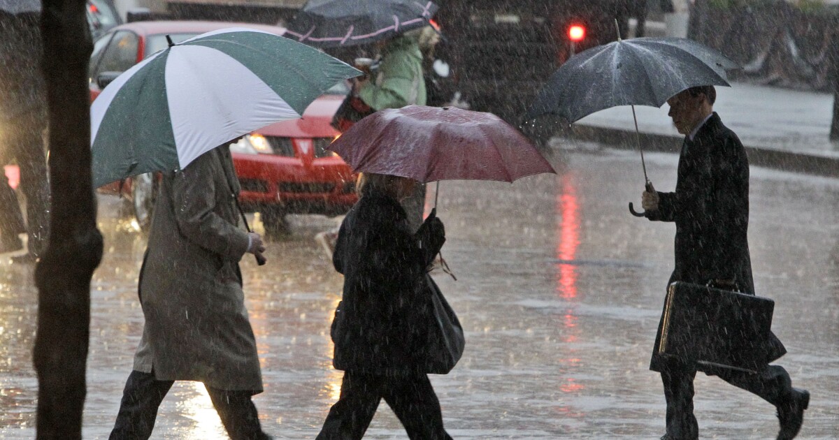
Storms are brewing in Pittsburgh and the public has been urged to prepare.
Pittsburgh is at an enhanced risk of severe weather, with an ongoing flood watch. According to the National Weather Service (NWS), an enhanced risk means a “high confidence of severe storms,” where several “could be significant.”
While rain is already appearing throughout the region, severe thunderstorms are expected to begin between 1 and 2 p.m. Storms are expected to become particularly strong around mid-afternoon, with some lingering until sunset. Thinned out coverage will become passing showers by Wednesday morning.
Andrew Kienzle is a meteorologist at the National Oceanic and Atmospheric Administration.
“Each storm itself could be a prolific rain maker — just with how much moisture is in the atmosphere right now.”
Kienzle states that the exact amount of rainfall will be “highly dependent” on how many rounds of thunderstorms an area receives. Areas receiving multiple rounds could be seeing three to four inches of rain.
“[The storms are] going to be moving so quickly that our flood concerns really come from areas that see two or three thunderstorms go directly over them.”
Kienzle notes that rain is not the only concern. Thunderstorms have the potential to bring damaging winds, with the strongest gusts expected between 60 and 70 mph. Additionally, there is a non-zero threat of isolated tornadoes and hail. In the NWS’ severe weather announcement, Pittsburgh was projected to have a 5 to 9% probability of isolated tornadoes within 25 miles and a 15 to 29% of hail.
Pittsburghers are recommended to remain weather-aware and have a plan for high ground in case of floods.
The Duquesne Light Company is preparing for potential outages by increasing staffing. Customers are recommended to charge their devices, report outages and keep away from downed power lines. Impacted customers can view the outage map.
Severe storms are predicted to last until 8 p.m.