
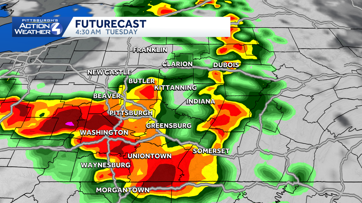
Western Pennsylvania faces strong storms and flash flooding concerns overnight
 Alert Days: Tonight, into Tuesday Morning.
The impacts of rain and storms ramp up starting Monday night with a Severe Weather Alert Day through Tuesday.
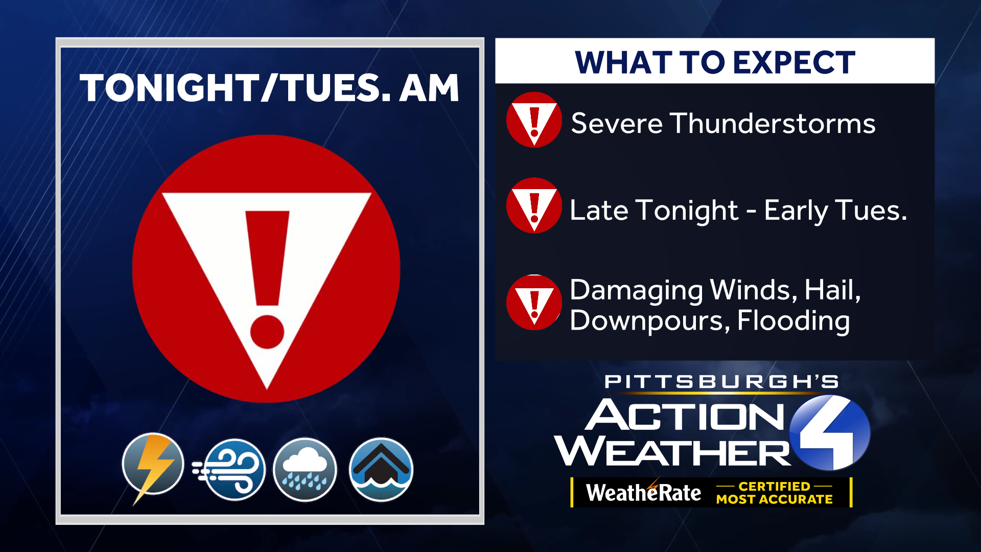
A Severe Weather Alert Day for thunderstorms and heavy rain that will track through tonight into Tuesday AM. Activity likely won’t show up until the evening hours. Strong winds and torrential downpours are possible through early Tuesday morning.

Scattered rain will continue Tuesday afternoon and could add to flash flooding concerns.
Quiet Weather To End The Month
The outlook for the end of July is downright pleasant, even perfect! Humidity levels will drop again with highs hovering in the lower 80s through Friday. The only hiccup could be lingering showers on Wednesday. More humidity pumps in next weekend and could spark more showers and storms.
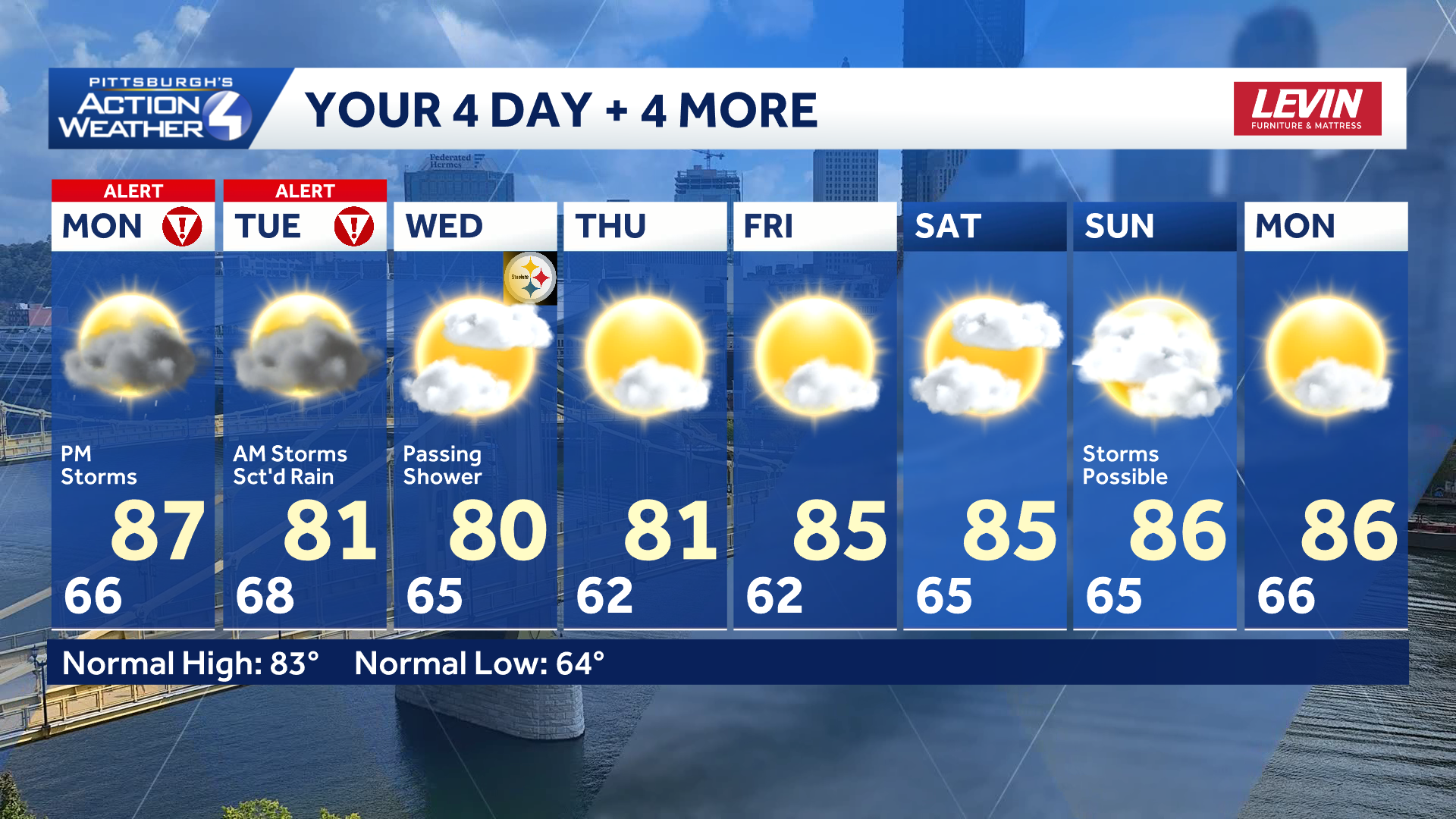
TODAY – Severe Weather Alert Day: Warmer with sun and clouds. Thunderstorms arrive late. High: 87°.
TONIGHT: Strong to severe storms. Low 68°.
TUESDAY – Severe Weather Alert Day: Early morning thunderstorms, scattered rain showers. High: 81°, low: 65°.
WEDNESDAY: Shower possible with mostly cloudy skies. High: 80°.