
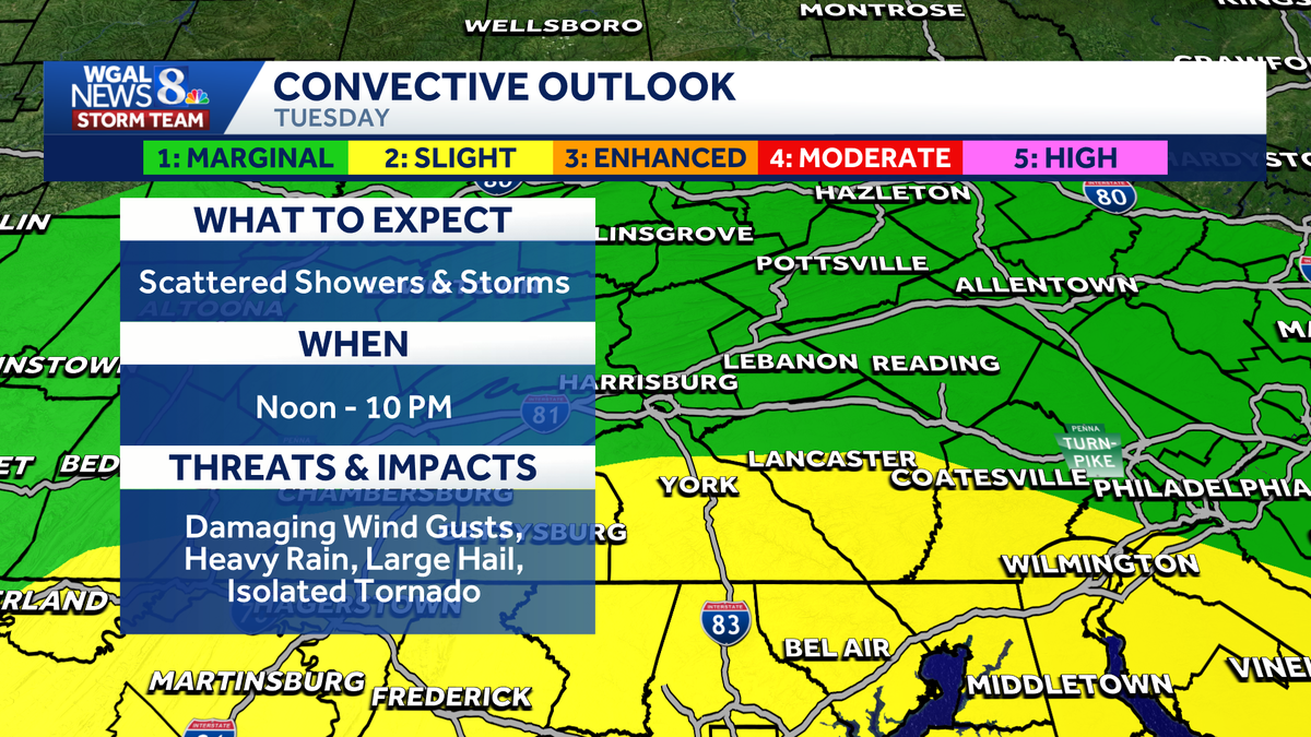
IMPACT DAY: Flood watch issued for south-central Pennsylvania ahead of scattered thunderstorms

Scattered showers and thunderstorms are expected on Tuesday in south-central Pennsylvania, bringing heavy rain and gusty winds to the region.
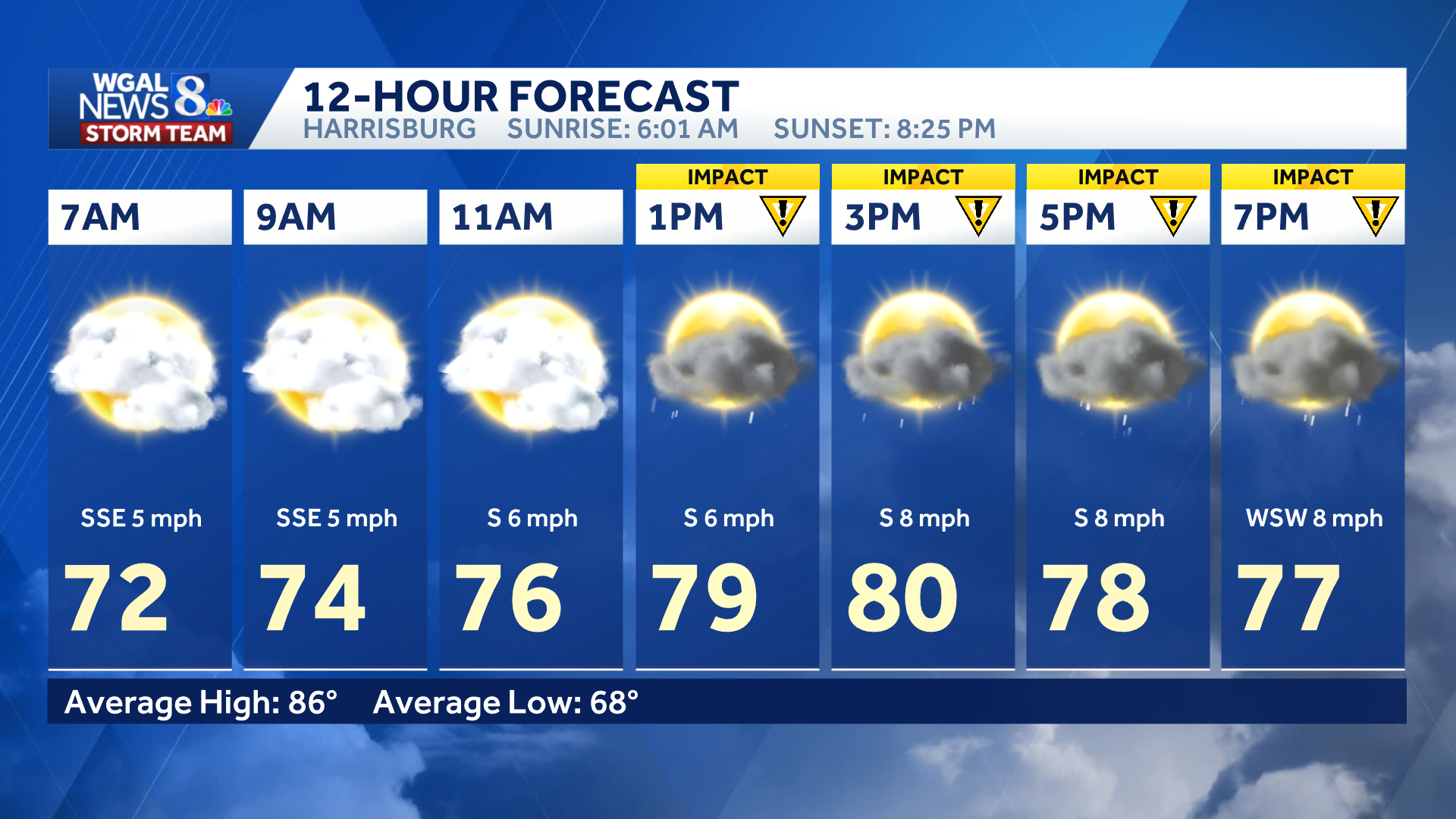
The WGAL News 8 Storm Team has declared Tuesday an Impact Day from noon until 10 p.m., meaning the weather will likely disrupt your normal daily schedule or routine.
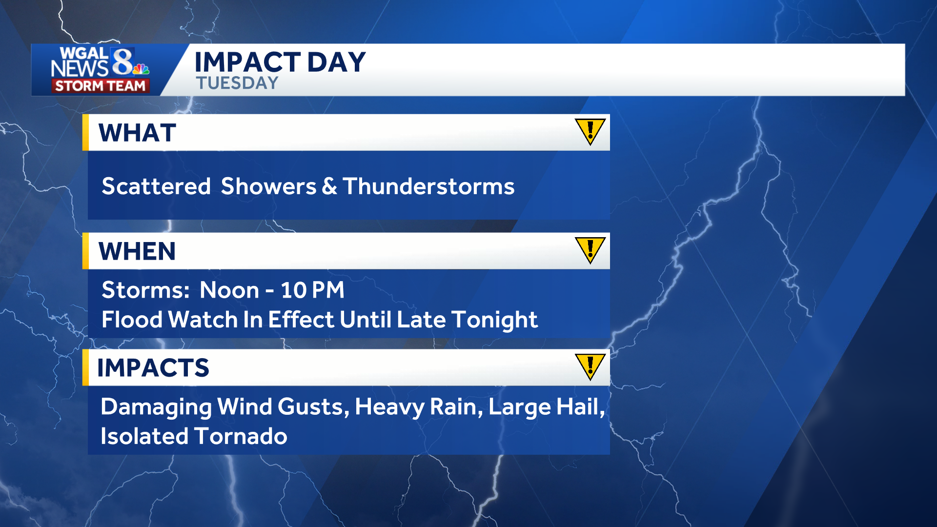 Flood watch
A flood watch was issued for much of the Susquehanna Valley. The watch remains in effect until 2 a.m. on Wednesday for the following counties:
Adams Cumberland Dauphin Lancaster Lebanon York  Storm timingThe primary window for impactful weather is between noon and 10 p.m. After a temporary lull, scattered thunderstorms will redevelop around lunchtime. Storms will continue into the evening, with some potentially becoming strong. Storms will gradually move east and weaken by 10 p.m. with partial clearing and patchy fog overnight.
Below: Swipe through the predicted radar for Tuesday’s storms.
This content is imported from infogram. You may be able to find the same content in another format, or you may be able to find more information, at their web site.
Severe weather risk
The Storm Prediction Center has placed most of the Susquehanna Valley under a marginal risk (level 1/5) for severe thunderstorms.
Areas generally along and south of Route 30 in Lancaster, York, Adams and Franklin counties are under a slight risk (level 2/5).
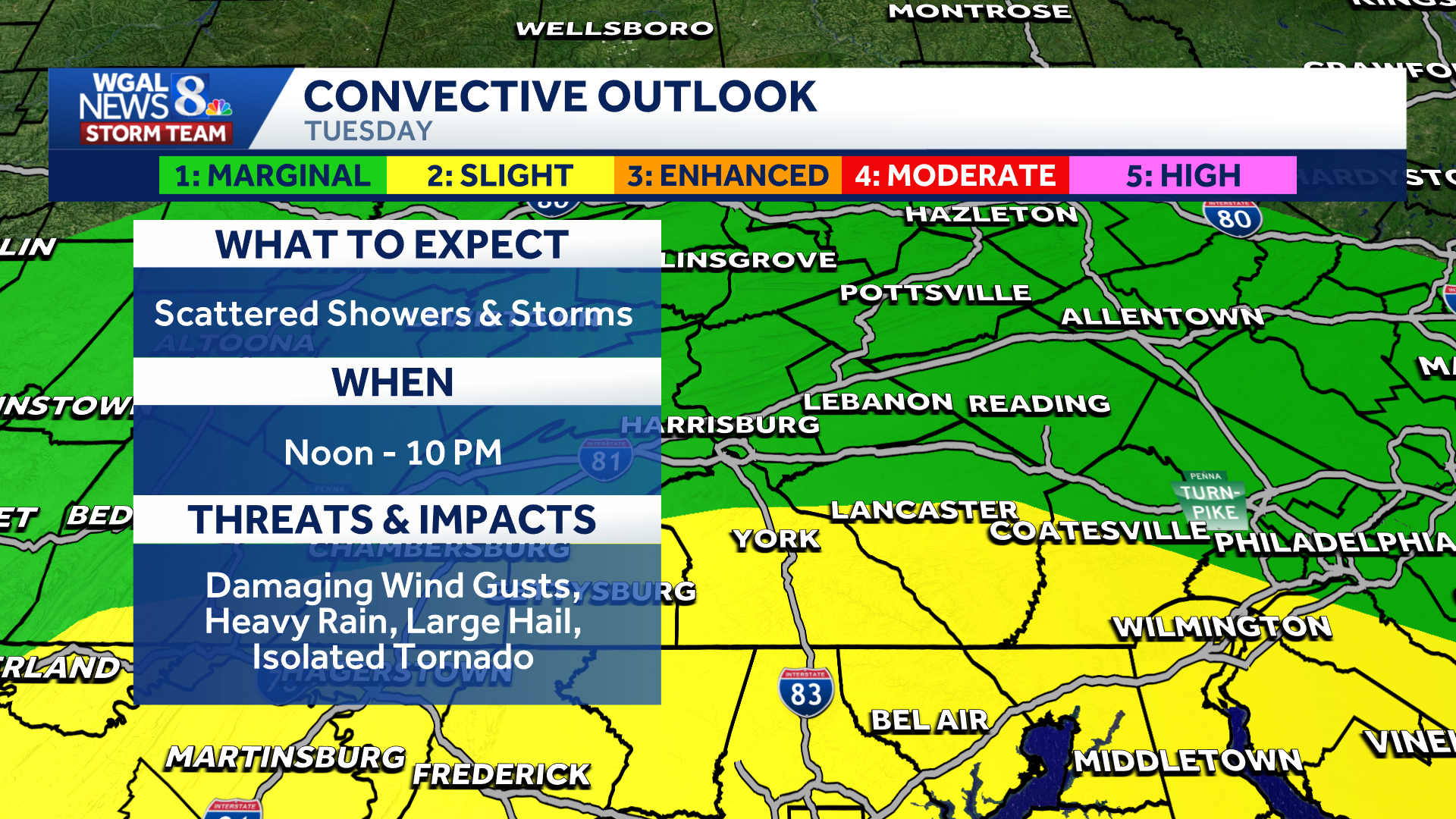
The intensity and coverage of the storms will depend partly on cloud cover. More sunshine could lead to stronger and more widespread storms.
Main threats
Some storms could become strong enough to produce:
Damaging wind gusts Frequent lightning Torrential rain and flash flooding Isolated large hail (low risk)Isolated tornado (low risk)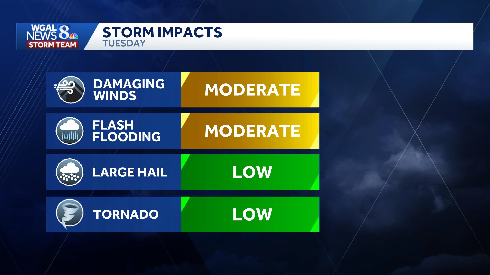
Damaging winds and flash flooding are the main concerns. Storms could produce intense rainfall over a short period as dew points rise to near 70.
Highs will hover in the upper 70s to 80 degrees.
 Looking ahead
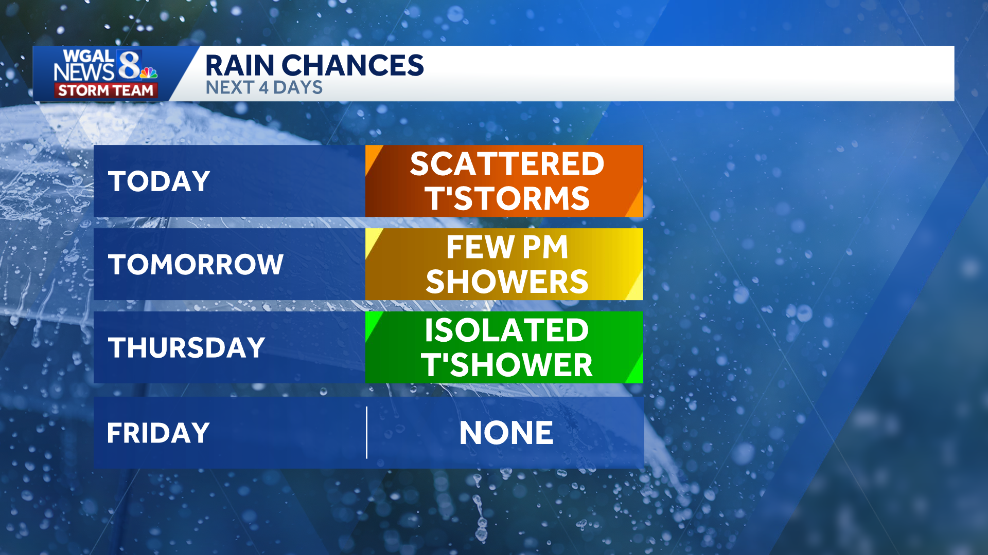
A few showers are possible Wednesday, with clouds, some sunshine, breezy conditions and highs in the low 80s.
Thursday may bring an isolated storm before dry, seasonable weather returns Friday, while weekend storm chances increase from isolated Saturday to scattered Sunday.
Temperatures will climb into the upper 80s next week and could reach 90 degrees by midweek.
Did you capture the weather and would like to share with News 8? Send us your photos or videos at https://www.wgal.com/upload.