
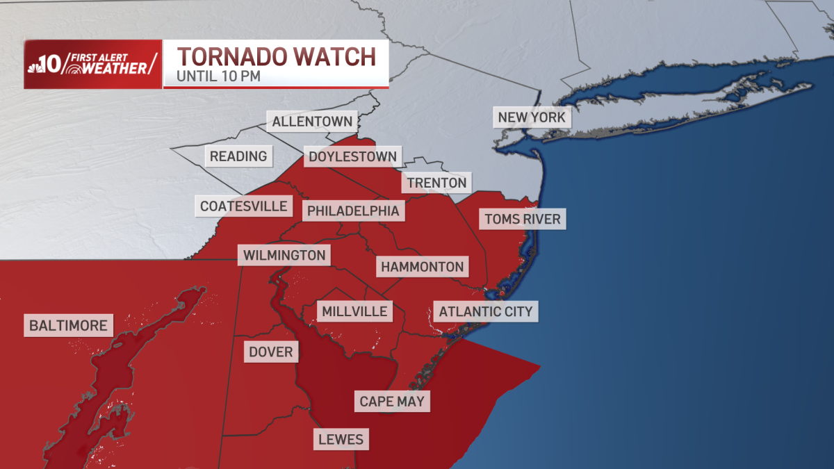
What to KnowA First Alert is in effect until midnight on Tuesday, July 28 for the entire Philadelphia region as multiple rounds of showers and thunderstorms are moving through.The National Weather Service issued a Tornado Watch for the entire region until 10 p.m. and we saw at least three tornado warnings throughout the afternoon. Rounds of rain and storms are expected to turn severe. Best chance of most severe storms are along the Interstate 95 corridor and points south. Plus, flash flooding is possible across most of the region.Damaging winds could down trees and powerlines, plus ponding will slow traffic. And remember, these heavy downpours decrease visibility on the roads.Get the latest weather updates by downloading the NBC10 app and following the NBC10 First Alert Weather team.
A First Alert is in effect until midnight as severe storms threaten flash flooding, damaging wind gusts and isolated tornados. Get live updates below.