
Opinion
Impact Day Sunday: Heavy rain, cloudy skies in Western Pa.
Rainfall totals could exceed an inch in spots by Monday.
 PITTSBURGH —
Light showers are arriving this evening with heavier rain overnight into Sunday morning.
Impact Day Sunday: Heavy rain timeline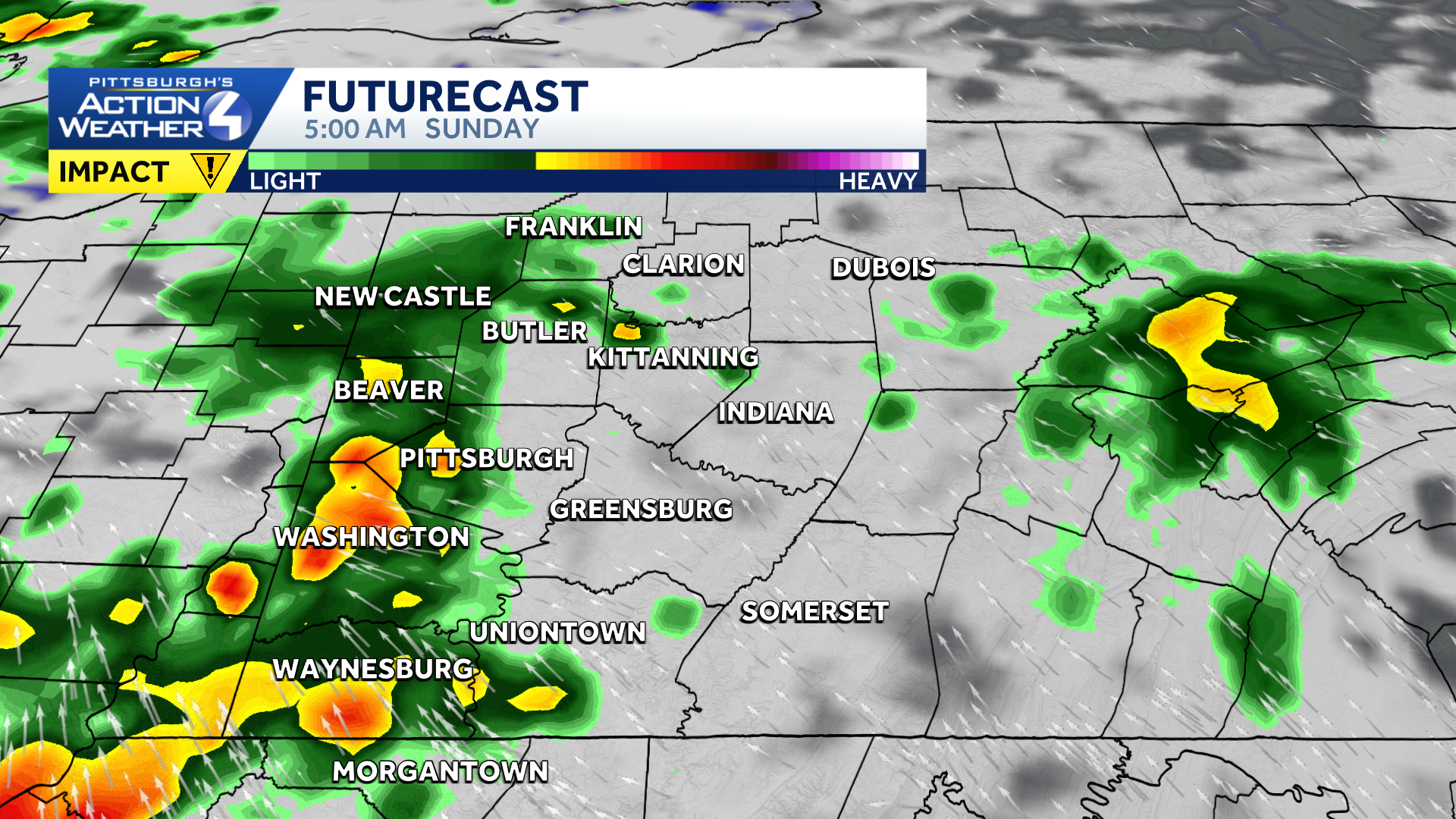
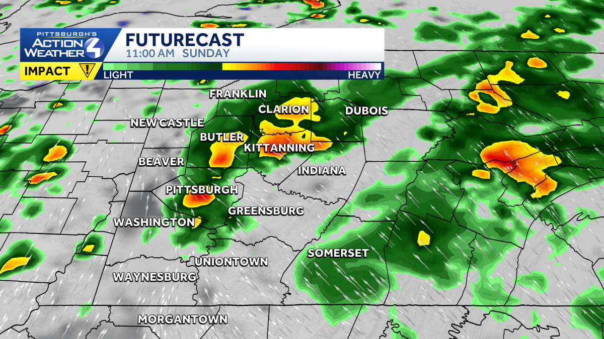
Pockets of heavy rain moves into western Pennsylvania early Sunday morning.
Periods of rain through the day with some embedded thunderstorms will allow the potential for widespread rain over one inch and localized amounts potentially over three inches.
Flash flooding won’t start unless we see two inches in three hours or 0.75″ in one hour in urban areas, so areas that are repeatedly hit hard and fast will have flash flooding potential.
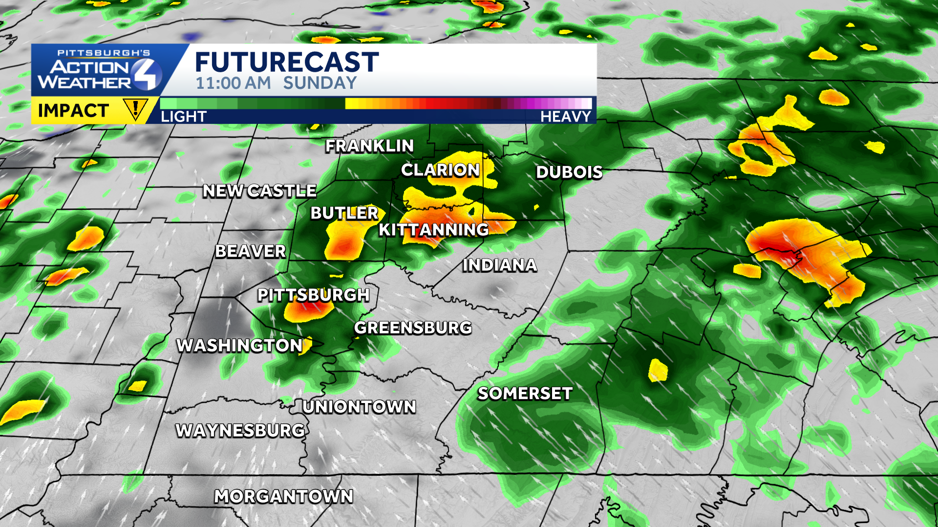
The heavy rain could briefly ease around mid-day Sunday.
Everyone else will have the concern of stream and creek rises through the day.
If we see a break in the rain and clouds in the middle part of the day, we could see a stronger storm late. Main concern would be strong winds, but those will even be isolated instances.
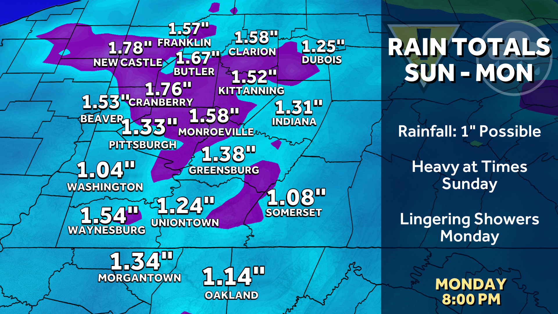
Rain totals could exceed an inch after rounds of heavy rain.
Weekday Outlook, Next Chance of Rain
A few showers are possible Monday and Tuesday, with a better chance at showers and storms again on Wednesday, mainly in the second half of the day.
Rain chances will continue into next weekend, but no one day is a washout after Sunday.
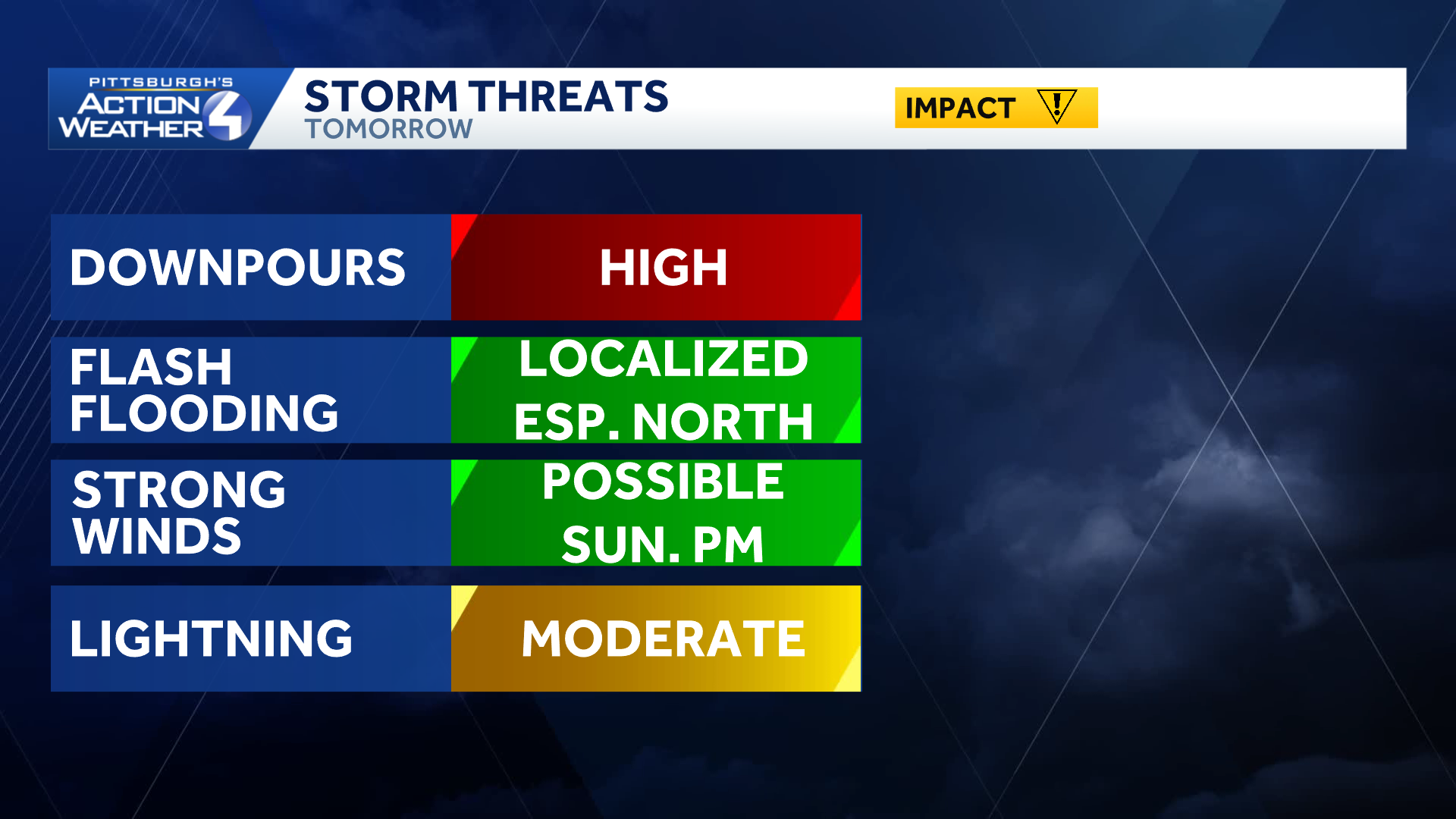
Heavy rain and potential flooding issues lead Sunday’s storm impacts.
TONIGHT: Rain. Low of 69.
SUNDAY: Impact Day: Periods of rain and a few storms. High of 78.
MONDAY: Mostly cloudy with a few showers. High of 80. Low of 66.
TUESDAY: Mostly cloudy with a shower possible. High of 82. Low of 64.