

Today is a First Alert Weather Day with the risk for flash flooding this afternoon and evening.
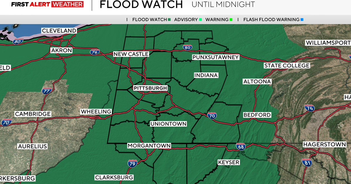
A Flood Watch is in effect for the region until midnight.
KDKA Weather Center
A round of thunderstorms has already moved through this morning, and several more rounds are expected today. We are under a Flood Watch until midnight, meaning flash flooding could happen today as 1-2″ of rainfall is expected for many and even more for some isolated areas.

Expected rainfall totals through 12:45 a.m. on Monday
KDKA Weather Center
If you live in a low-lying/flood prone area, make sure you’re staying weather aware. Highs today won’t even make it to 80 degrees for most. The severe weather threat is low (1 out of 5), meaning general thunderstorms are expected.
Models are drying out for Monday and Tuesday with more sunshine, low humidity, and seasonable highs in the low 80s.

Conditions through 6 a.m. on Monday morning
KDKA Weather Center
Towards the end of the week, the unsettled weather pattern returns with scattered showers and thunderstorms and highs in the low to mid 80s.

7-day forecast: August 2, 2026
KDKA Weather Center