
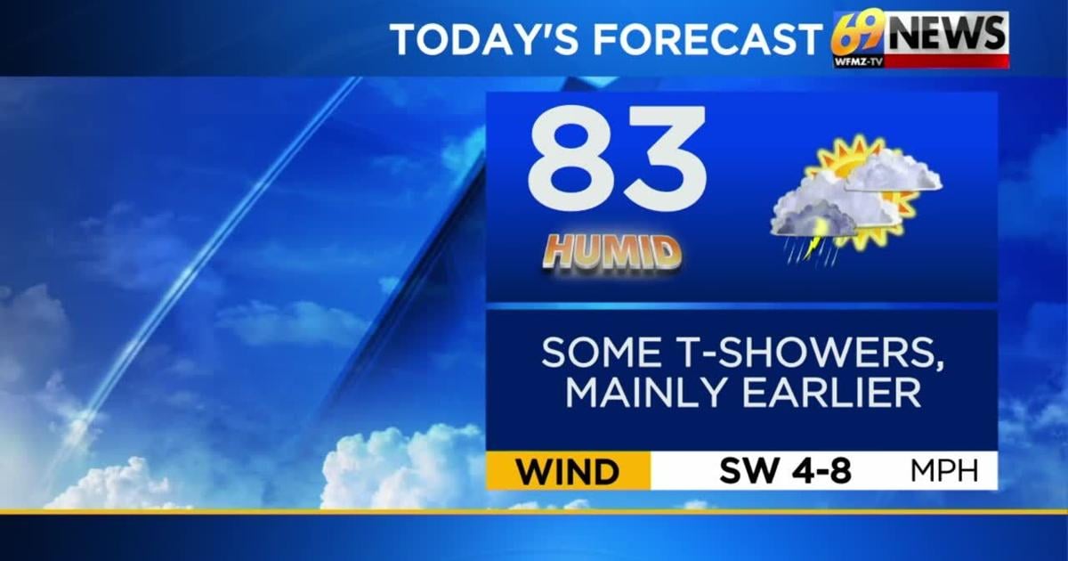
TODAY: Shower/t-storm early; some sun returns. High: 83
TONIGHT: Mainly clear. Low: 62
TUESDAY: Partly sunny. High: 84 Low: 64
FORECAST SUMMARY
Sunday was dry in many spots for a good portion of the day…just mostly cloudy and a bit stickier but not too hot with high temperatures in the mid 80s. Monday starts out with a shower or thunderstorm, however the bulk of that activity looks like it will move south and east of the heart of our region by this afternoon. We’ll see a brief return to dry and pleasant conditions for Tuesday before high humidity and daily chances for scattered PM showers and storms return the rest of the week. And those same type of conditions may linger all the way through the upcoming weekend. So, rain chances and humidity will be a constant, but also what will be a constant is seasonable temperatures. Highs over the next week will not change much running either side of the average high for this time of the year in the middle 80s.
THE BIG PICTURE
**FLOOD WATCH IN EFFECT UNTIL 11PM MONDAY FOR THE LEHIGH VALLEY, BERKS, DELAWARE VALLEY, AND WESTERN NEW JERSEY**
MONDAY
The storm system from Sunday night looks to move to the coast by midday Monday. The day starts out rather cloudy with a shower or thunderstorm. It does appear though that by Monday afternoon, the bulk of any shower and thunderstorm activity that is left will move to near and south and east of I-95. So for many, a lot of Monday afternoon may very well be dry with some sun breaking through the clouds. Regardless of what happens with showers and storms, it will be another sticky day as high temperatures top out in the low to mid 80s. By Monday night, the entire region looks to dry out as skies gradually clear and we see a brief return to a northerly wind flow which drops dew points back towards the 50s. This brief return of some more refreshing air will lead to a more comfortable overnight Monday as low temperatures dip down into the lower 60s and perhaps even some 50s in a few locations.
Download the FREE 69News Traffic App
TUESDAY
While the overall forecast through the upcoming weekend looks quite humid and unsettled, latest guidance suggests Tuesday will be the one caveat. The storm system that approached at the start of the week will move far enough south and east for Tuesday that we’ll briefly get under the influence of high pressure from the north. This in turn leads to a northerly wind flow which will usher in some drier and more comfortable air across the region. Dew points will go from the 70s Monday back to near 60 degrees or even into the 50s by Tuesday. We also now look to be entirely dry Tuesday with a fair amount of sunshine mixed with clouds. So over the next week, your pick day for outdoor plans absolutely looks to be Tuesday as we should be dry with sunshine and comfortable humidity as high temperatures reach the mid 80s.
WEDNESDAY THROUGH NEXT WEEKEND
Bottom line here is…no washouts are expected for the middle and latter part of the week, but entirely dry days may be hard to come by. The one nice thing is that no extreme heat is anticipated anytime soon and high temperatures from Wednesday right through next weekend look to run seasonable in the mid to upper 80s. Nighttime lows will also generally be mild in the upper 60s to near 70 degrees. The remnants of the storm system that affected the region at the start of the week will remain close by into next weekend all while a new weak cold front drops in from the north and west. What this means is that basically every day from Wednesday through next weekend features partly sunny skies with sticky humidity and daily chances for scattered showers and thunderstorms, mostly during the PM hours.