
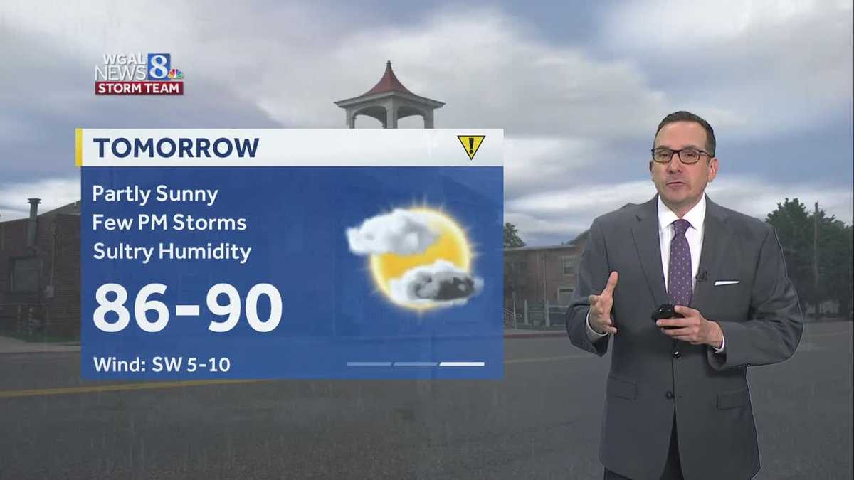
Few showers & storms overnight, another round of showers & storms Saturday
The strong storm threat is ending across the Susquehanna Valley. The severe thunderstorm watch has been canceled for the entire area.


Good evening,
Showers and thunderstorms are beginning to move out of the Susquehanna Valley with only isolated showers and storms possible after sunset and through the overnight. Another very humid night with temperatures in the low 70s.
REMAINING HOT AND HUMID:
We have another round of afternoon and evening thunderstorms Saturday, although coverage won’t be as widespread as the past few days, and we are not currently outlooked for severe weather. Temperatures will remain in the upper 80s to near 90 degrees on Saturday, and humidity will remain sultry.
Heavy rain is the biggest threat from storms. The Weather Prediction Center (WPC) has a “marginal risk” for flash flooding across the Susquehanna Valley. This is mainly for low-lying areas with poor drainage. If thunderstorms develop over these areas, heavy rain may lead to localized flash flooding.
An overall drier day is expected on Sunday, but isolated thunderstorms may develop in the afternoon and evening. Monday is also a mainly dry day for the start of school for some districts in the area. However, there is a chance of showers and thunderstorms late in the day. Highs will reach 90 degrees on Sunday and Monday.
FINALLY SOME RELIEF:
A cold front will approach Tuesday into Wednesday, bringing a chance of showers and storms. Highs will fall to the low-to-mid 80s as the front lingers overhead, and humidity will drop to more typical levels for this time of the year.
As the front finally passes at the end of the week, temperatures and dew points will fall again, leading to more comfortable conditions for the weekend ahead.
Have a great night!