
SHORT TERM FORECAST
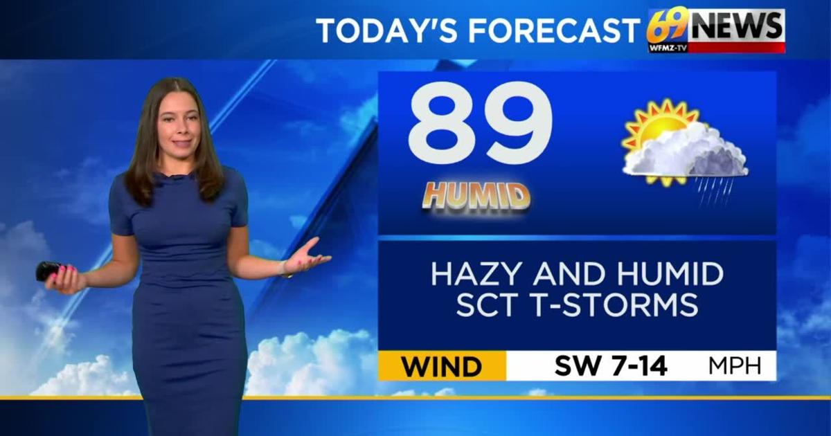
MONDAY: Partly sunny, warm, and more humid with a few rounds of scattered showers and thunderstorms. High: 89
MONDAY NIGHT: Partly cloudy and muggy with a few evening shower and thunderstorms. Low: 70
TUESDAY: PM clouds with a few PM thunderstorms. Humid. High: 86
FORECAST SUMMARY
Sunday was a nice close to the weekend, but as we head into the beginning of the work week, things turn stickier and active once again. Some scattered afternoon thunderstorms will be around for today which could bring some gusty winds with them along with heavy downpours. Dewpoints will also be climbing back towards the 70-degree mark with daytime highs around the upper 80’s. Stay hydrated. The heat, humidity, and stormy weather will break by the end of the work week.
DETAILED FORECAST
MONDAY
The higher humidity surges back on Monday, as dew points again near the 70-degree mark. It will be a partly sunny, very warm, and humid day with highs again into the upper 80s to around the 90-degree mark. While it initially looked like Monday would be a second straight t-storm free day, it now looks like some scattered showers and storms will be possible at any time during the day as a cold front approaches from the Great Lakes. One or two small clusters of storms are possible in the morning, and then a long, dry break through much of the day, followed by a more widespread round of still scattered but a few gusty thunderstorms in the afternoon and evening. There is a marginal to slight risk for severe weather, higher the farther west you go from the Lehigh Valley, during the day on Monday. Monday night will be warm and muggy with any storms ending early, and lows back up around the 70-degree mark.
TUESDAY AND WEDNESDAY
Our Monday front may then stall out somewhere nearby for Tuesday and Wednesday, keeping us seasonably warm, fairly humid, and a bit unsettled with a mix of clouds and sunshine, and the chance of a few showers or a thunderstorm or two. Right now, the chances seem lower for Tuesday during the day, then higher on Wednesday into Wednesday night. Expect highs mostly in the mid 80s with continued high humidity, though not quite as oppressive as some recent days have been.
LATER NEXT WEEK
As long as that stuck mid-week front can settle to our south, we’ll see drier and comfier weather try to build in later in the week, starting Thursday and especially by Friday and Saturday. So, rain chances will diminish, humidity levels drop a little more each day, and highs will also settle back into the lower 80s by week’s end. Dew points could be into the upper 50s by the end of the week, which will certainly be more refreshing in terms of comfort, and also keep things mostly dry, limiting the fuel for any more showers and t-storms.
NEXT WEEKEND
At first glance, next weekend looks to start with comfortably warm sunshine and low 80s on Saturday, with dry weather expected. Come Sunday, we’ll remain in the low 80s with low humidity, but an approaching front could produce a few scattered rain showers, though it certainly doesn’t look too wet at this point.
TRACK THE WEATHER:
LINKS: HOUR BY HOUR | RADAR | TRAFFIC