
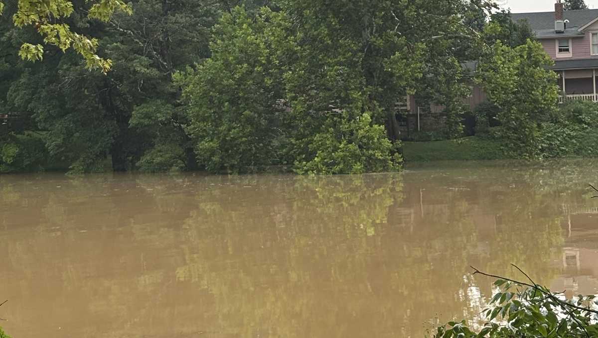
Rounds of rain to soak western Pennsylvania before weekend, with 1 to 2 inches possible

Today is another Severe Weather Alert Day with additional flooding rains in the forecast.
Days of thunderstorms and heavy rain
Another one to two inches of rain will fall area-wide through Wednesday evening. Flooding and severe weather threats will be on display.
Today is another Severe Weather Alert Day; Wednesday and Thursday are Impact Days with a decrease in the coverage of heavy rain and storms.
 Alert & Impact Days
Another line of storms passes this morning, with isolated flash flooding. Additional storms expected to fire in the afternoon. Heavy rain and damaging wind are the primary concerns from another thunderstorms this week.
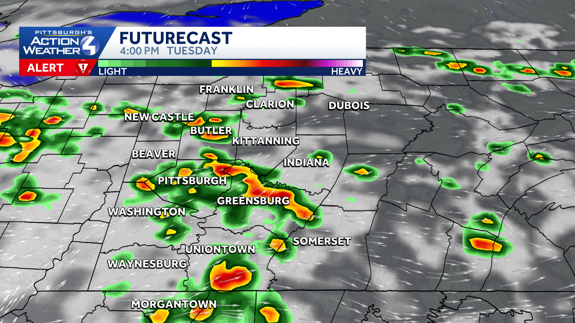
Scattered showers and isolated thunderstorms will be possible on Thursday. This could mean dodging some raindrops for tailgating and the Steelers’ preseason game against the Packers.
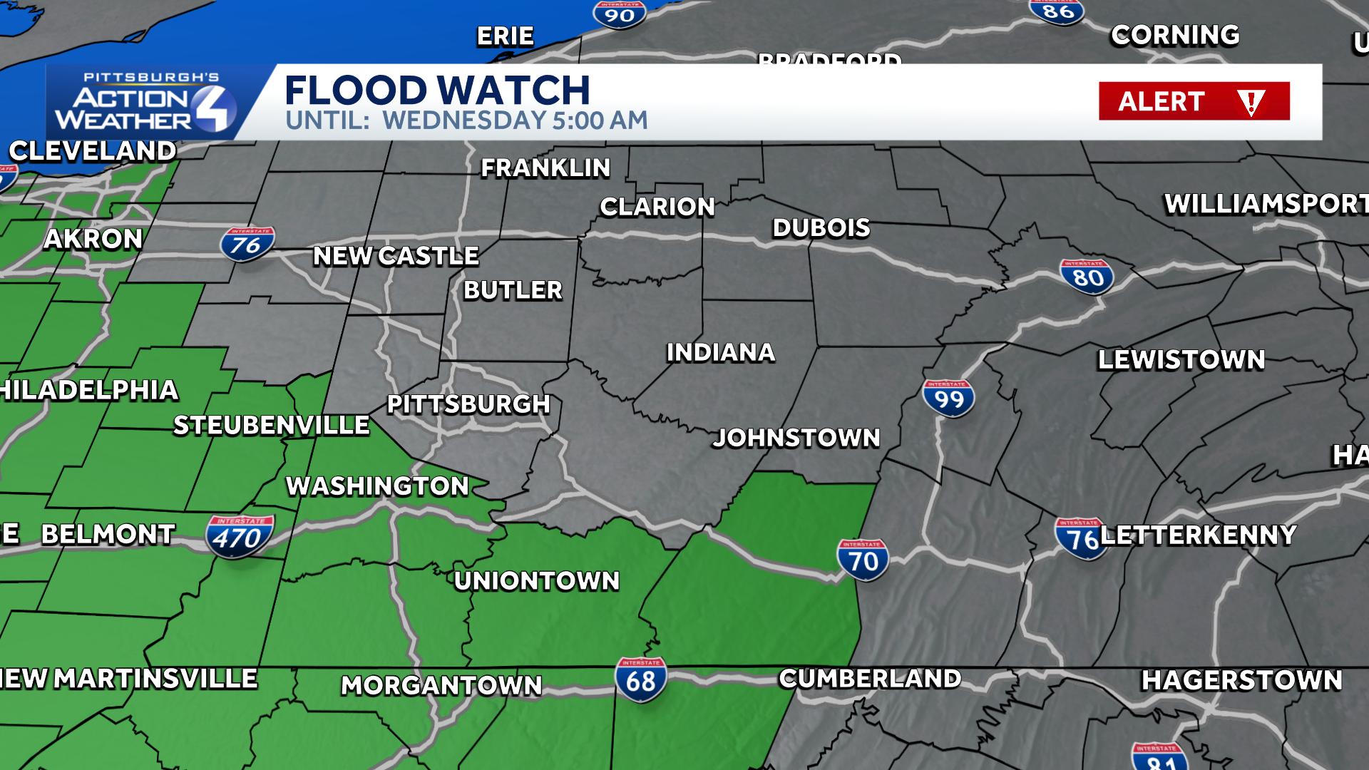
Flood Watch
A Flood Watch is in effect for most of Western Pennsylvania through Wednesday morning.
The following areas are under a flood watch: Fayette, Greene, Higher Elevations of Fayette and Washington, Allegheny, Beaver, Higher Elevations of Westmoreland and Westmoreland.
Active pattern ends and humidity drops
The non-stop daily rain and storms will finally end ahead of the weekend. Humidity levels will drop too with almost a fall feel on Saturday morning. Highs will slide into the upper 70s through early next week.
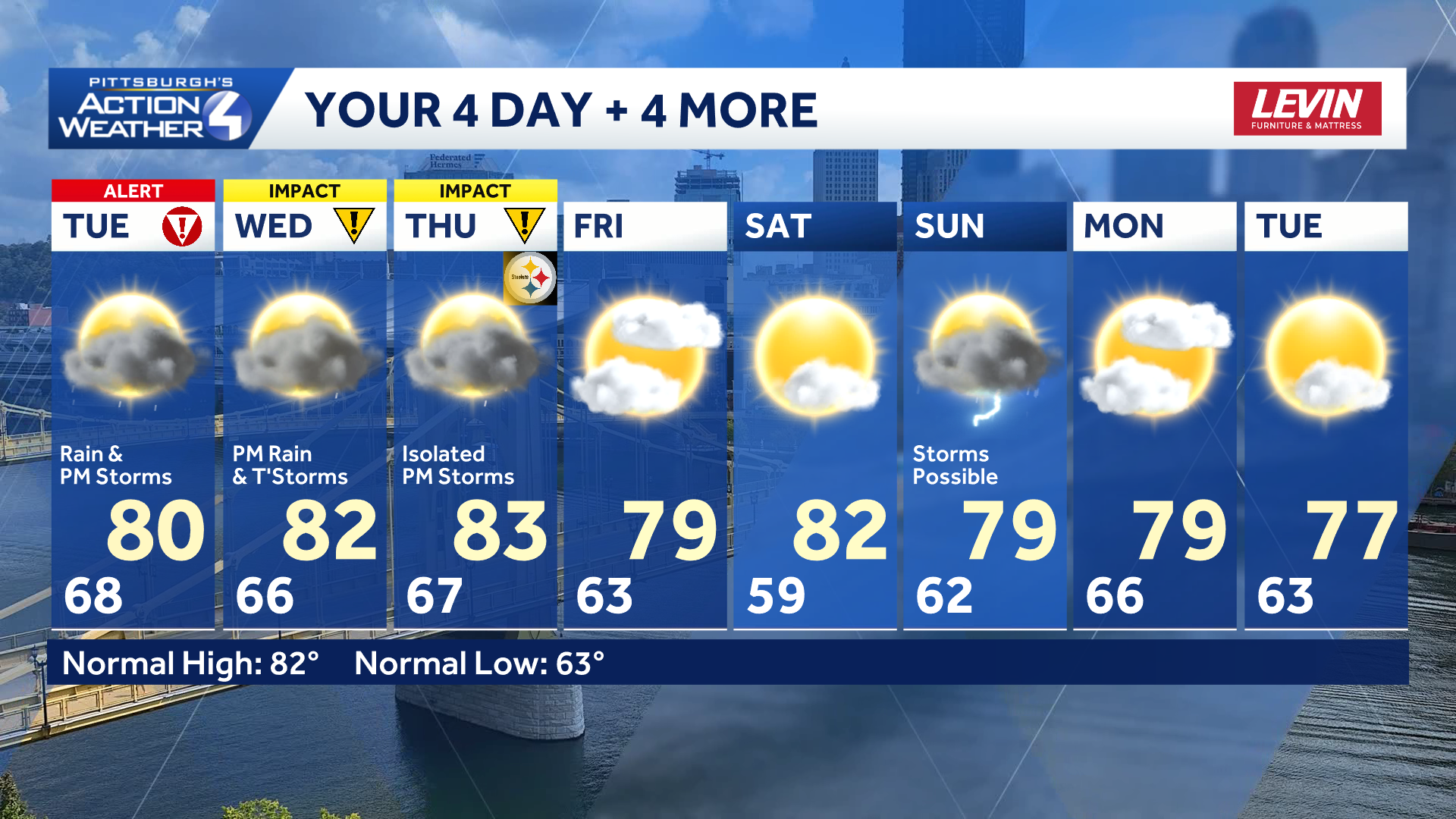
TODAY – Severe Weather Alert Day: Morning rain and storms, isolated afternoon storms. High: 80°.
TONIGHT: Mostly cloudy, patchy fog, sct’d rain possible. Low 60°.
WENDESDAY – Impact Day: Afternoon thunderstorms with heavy rain. High: 82°, low: 67°.
THURSDAY – Impact Day: More storms possible but isolated in coverage. High: 83°, low: 63°.