
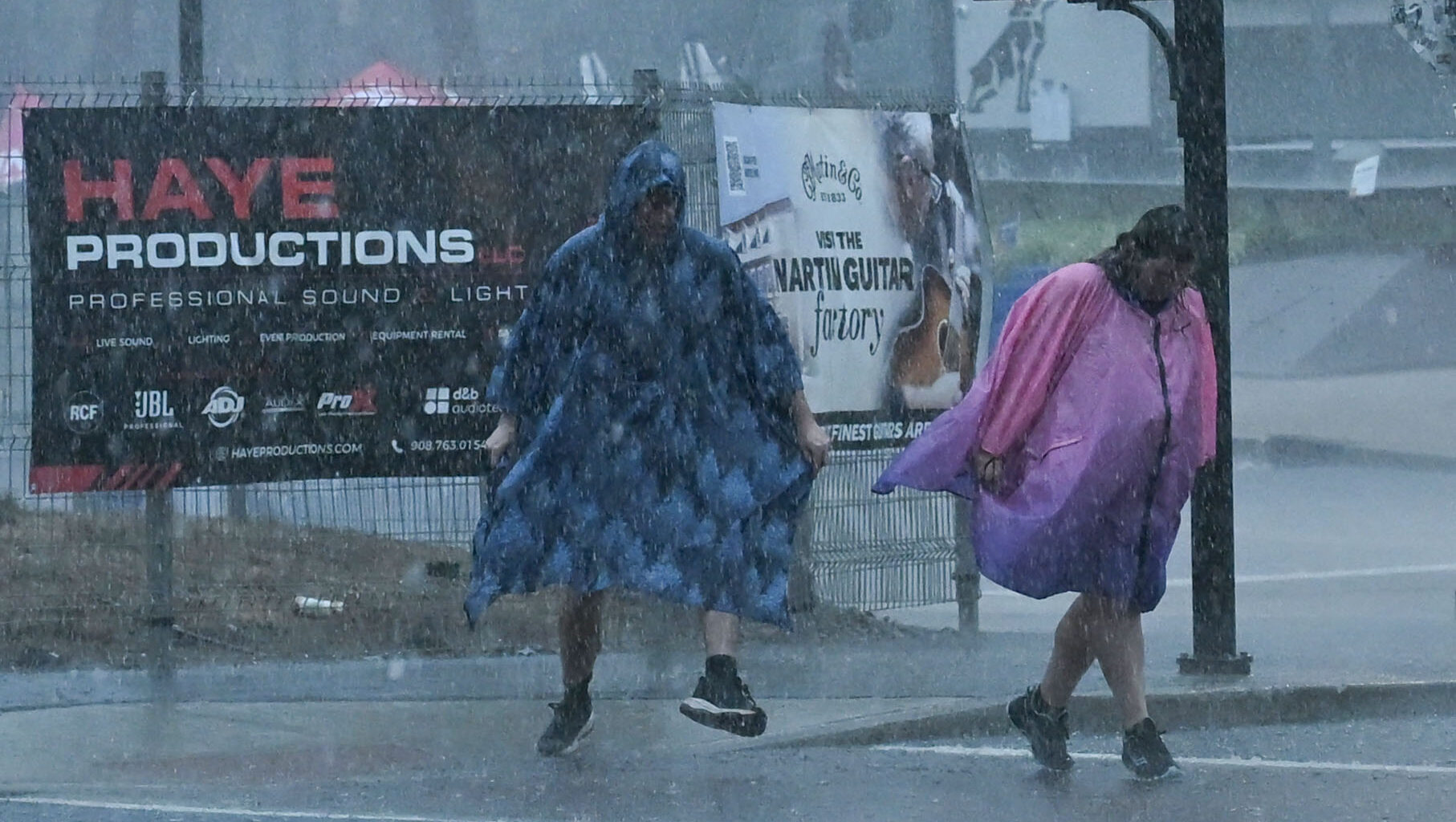
Drought conditions in the Lehigh Valley have improved after recent rainfall.
Northampton County has almost no drought conditions, and Lehigh County is mostly abnormally dry or under moderate drought conditions, according the U.S. Drought Monitor, which tracks and displays drought conditions throughout the country.
The drought monitor released its latest map Thursday, which showed significant improvement in both counties compared to where it was three months ago. Both counties had moderate drought conditions in May, and had moderate or severe conditions at the start of the year.
Lehigh County has gotten 25.2 inches of rain so far this year, roughly 3 inches below normal, according to weather service data. The drought monitor shows the eastern part of Lehigh County as having normal conditions, and the rest of the county, with the exception of a small part of southwestern Lehigh County, is under abnormally dry conditions. That small part of southwestern Lehigh County has moderate drought conditions.
Northampton County is faring a bit better with rainfall, and is largely back to normal conditions. Only the perimeter of the eastern part of the county has abnormally dry conditions as of Thursday. The county has had 27.4 inches of rain so far this year, just .8 inches below normal, according to weather service data.
Just under 2 inches of rain has been recorded so far this month at Lehigh Valley International Airport, the weather service’s official recording location for the region. Rainfall is slightly above normal for this time of month, and there is a chance of more rain next week. Below-normal rainfall was recorded in April, May, June and July; however, rainfall was above normal in March.
There is a chance of more rain Sunday and Monday. A storm system could move into the area Sunday and bring showers and thunderstorms.
“At this point, it remains too early to lock down any specifics for severe and flash flood, but we will need to monitor the potential over the next several days,” meteorologists for the National Weather Service in Mount Holly, New Jersey, wrote Thursday in their daily forecast discussion.
Here is the extended forecast from the National Weather Service:
Friday: Mostly sunny, with a high near 87. Calm wind.
Friday Night: Mostly clear, with a low around 65. Calm wind.
Saturday: Sunny, with a high near 86. Calm wind.
Saturday Night: Partly cloudy, with a low around 65. Calm wind.
Sunday: Showers likely, with thunderstorms also possible after 5 p.m. Mostly cloudy, with a high near 83. Light southeast wind becoming south 5 to 10 mph in the morning. Chance of precipitation is 70%. New rainfall amounts between a half and three quarters of an inch possible.
Sunday Night: Showers and possibly a thunderstorm, mainly before 2 a.m., then a chance of showers and thunderstorms after 2 a.m. Low around 68. Chance of precipitation is 80%. New rainfall amounts between a half and three quarters of an inch possible.
Monday: A chance of showers before 8 a.m. Mostly sunny, with a high near 87. Chance of precipitation is 30%.
Monday Night: Partly cloudy, with a low around 63.
Tuesday: Sunny, with a high near 85.
Tuesday Night: Mostly clear, with a low around 62.
Wednesday: Sunny, with a high near 87.