
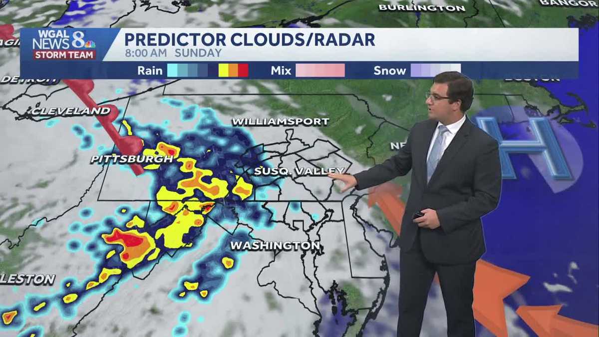
Pleasant Saturday before storms returns Sunday in south central Pennsylvania
Sticky conditions linger into tonight before we receive a more comfortable Saturday; storms return on Sunday.

Good evening,
Tonight, lows will fall to the upper 60s under partly cloudy to mostly clear skies. While numbers have dwindled even further, tonight is looking like the best night since the peak of the Perseids on Wednesday to try and catch a glimpse of a meteor.
Saturday will be the pick day of the weekend! High pressure will help to clear out the sky and deliver a mostly sunny day with pleasant humidity levels. Expect highs around 84 degrees.
IMPACT SUNDAY:
Showers and thunderstorms return to the Susquehanna Valley on Sunday. A low-pressure system will move from west to east across the state with rain beginning in Cumberland, Franklin, Juniata, Mifflin and Perry counties after sunrise. The rain will spread from west to east throughout the morning, and most areas will be experiencing showers by noontime. Showers and thunderstorms will continue into the afternoon before moving out by the evening.
Moderate to heavy rain is likely at times, with some areas receiving 1-2″ of rainfall, leading to scattered flash flood concerns. Flash flooding is possible in low-lying areas with poor drainage.
Additionally, a few strong to severe thunderstorms are possible. The Storm Prediction Center has areas south of the PA Turnpike under a marginal (level 1/5) risk for strong thunderstorms.
NEXT WEEK:
A few trailing thunderstorms are possible Monday, as the cold front passes over the area. Expect highs around 86 degrees. Tuesday will feature lower humidity and highs in the mid-80s.
The break in the humidity will not last long, though, as conditions turn more humid Wednesday, then rain chances increase slightly at the end of the week. Temperatures will range from the low-to-mid 80s, with typical summertime humidity levels.
Have a good night!