
Impact Day: Heavy rain, flash flooding possible Sunday across south central Pennsylvania
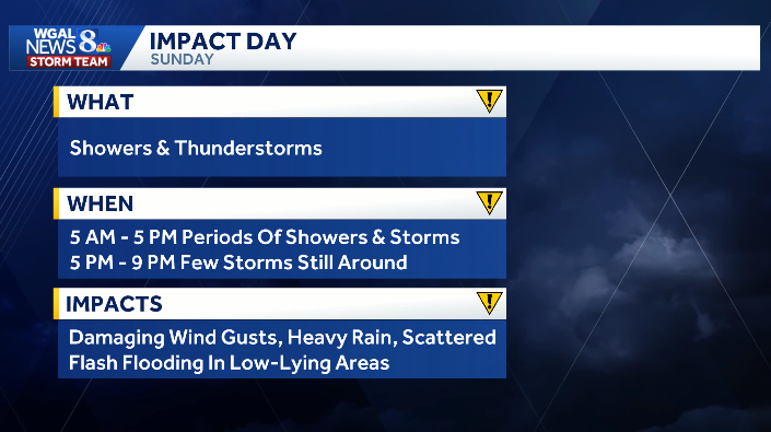
The News 8 Storm Team has declared an IMPACT DAY for Sunday, August 16, due to heavy rain that may lead to flash flooding in the Susquehanna Valley.

Showers and thunderstorms return to the Susquehanna Valley on Sunday with damaging wind gusts and locally heavy rain possible.
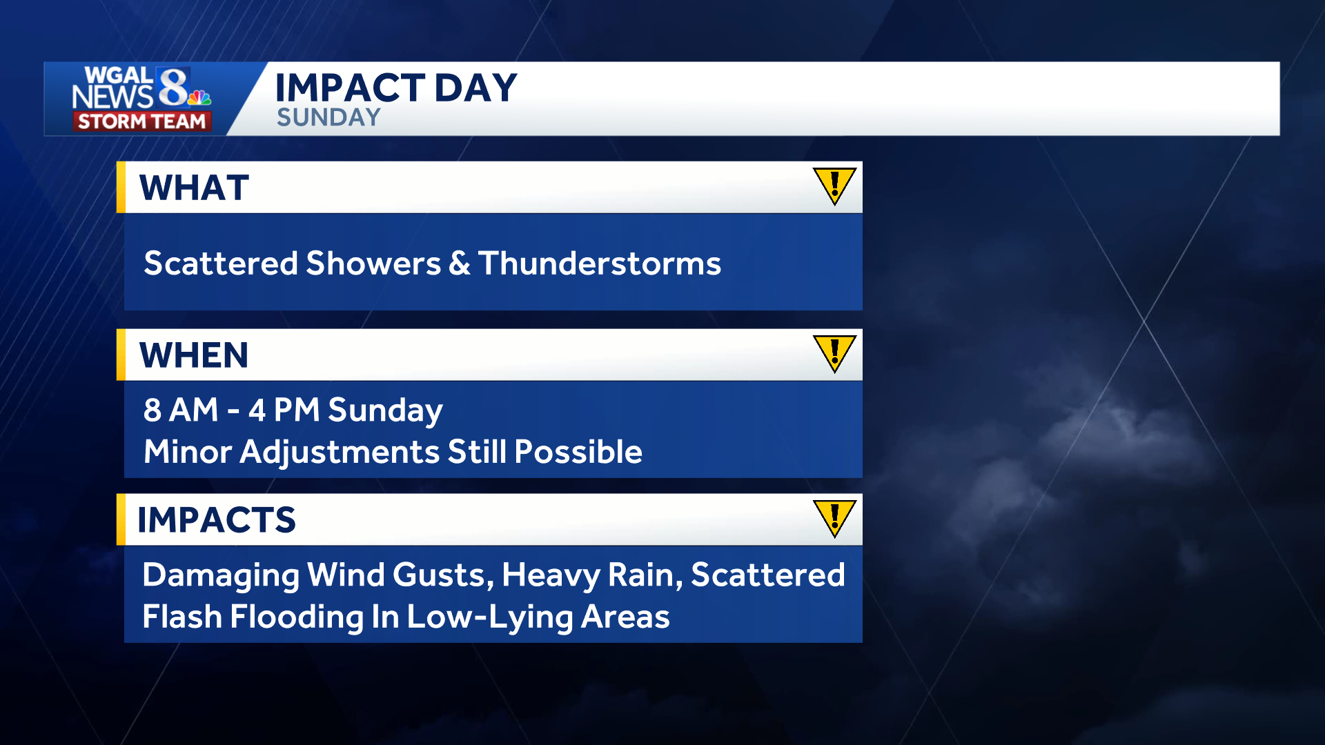
Main takeaways from the forecast for Sunday, August 16, 2026 in south-central Pennsylvania.
A low-pressure system will move from west to east across the state, with rain beginning in Cumberland, Franklin, Juniata, Mifflin, and Perry counties before sunrise.
The rain will spread from west to east throughout the morning, and most areas will be experiencing showers by noontime. Showers and thunderstorms will continue into the afternoon before moving out by the evening.
Moderate to heavy rain is likely at times, with widespread 1 – 2″ of rain expected. Some areas may receive 2″+.

Modeled rainfall totals through 8 p.m. Sunday, August 16, 2026 in south-central Pennsylvania. Updated: 12 a.m. Saturday, August 15, 2026.
The Weather Prediction Center has outlined the entire Susquehanna Valley under a “slight risk” for excessive rainfall, which means scattered flash flooding is possible.
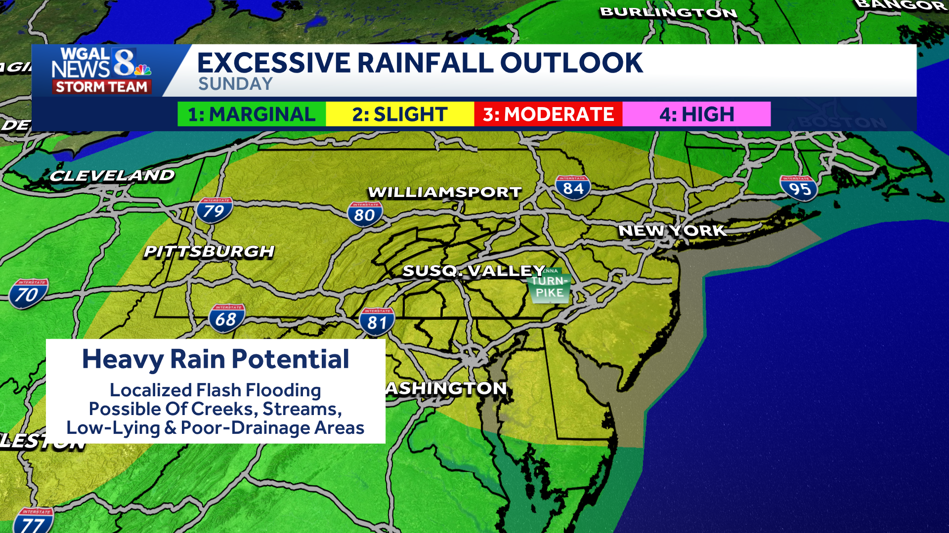
The Weather Prediction Center’s Excessive Rainfall Outlook for Sunday, August 16, 2026.
The main concern for flash flooding will be in low-lying areas with poor drainage. Some creeks and streams may also see rapid water rise.
Additionally, a few strong to severe thunderstorms are possible. The Storm Prediction Center has most of the Valley under a marginal (level 1/5) risk for strong thunderstorms.

Storm Prediction Center’s severe weather risk for Sunday, August 16, 2026 in south-central PA.
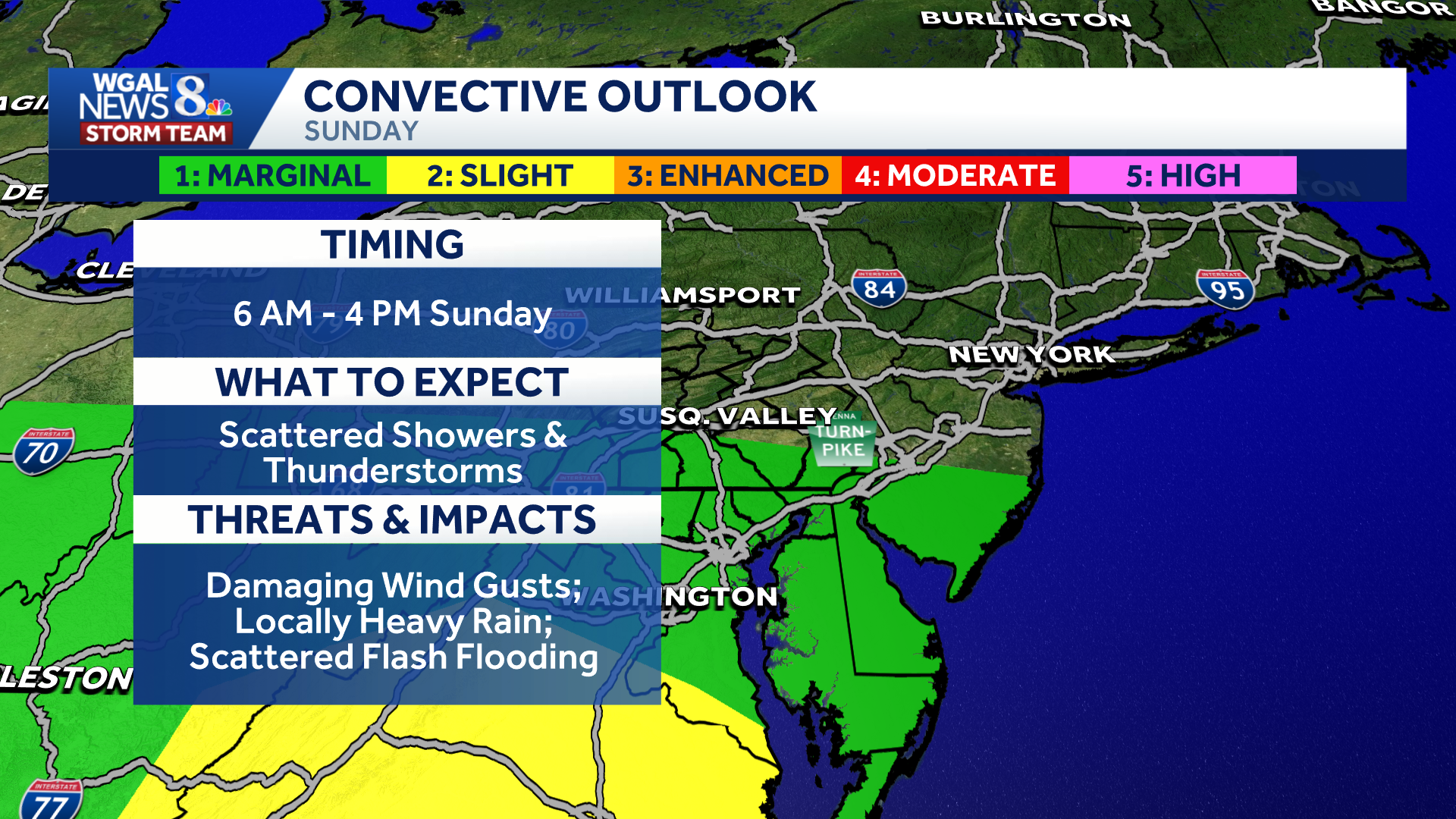
Severe weather risk details for Sunday, August 16, 2026 in south-central PA.
Stay tuned for more updates throughout the weekend.