
SHORT TERM FORECAST
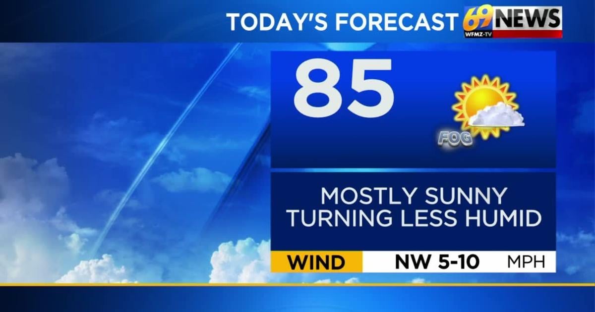
TUESDAY: Patchy fog early, then mostly sunny and pleasant as it turns less humid. High: 85
TUESDAY NIGHT: Mostly clear and comfortable. Patchy fog late. Low: 62
WEDNESDAY: Patchy AM fog. Mostly sunny. Pleasant. High: 86
FORECAST SUMMARY
A couple of picks of the week for the next two. We will have some lingering patchy fog each morning, but mostly sunny days will bring us through mid-week. With decreasing humidity today, we will also be feeling much more comfortable. This will not last for the rest of the week though as cloudier skies and rain chances return as we head into Thursday. A slight uptick in humidity will also follow us into Thursday as well.
DETAILED FORECAST
TUESDAY AND WEDNESDAY
Minus a little patchy early morning fog, look for the next two days to be the pick ones of the week. We’ll see partly to mostly sunny skies, lower humidity, and seasonably warm highs in the mid 80s. Tuesday night looks mostly clear and comfortable with a little patchy fog, and lows on the more comfortable side in the low 60s. Soak up the nicest two days of the forecast!
THURSDAY AND FRIDAY
Our next cold front is due to approach Wednesday night and slide through on Thursday. Out ahead of it, expect clouds to increase, and humidity inches up a bit as well (but nothing oppressive). Some showers are likely on Thursday, but rainfall amounts look light (around a tenth of an inch), and it doesn’t look to be an all-day washout. Come Friday, that front will likely slow or stall out just to our southeast along the Mid-Atlantic coast, and ripples of low pressure or moisture may move along this front for Friday, and perhaps over the weekend too. Exactly where this front stalls and how much rain accompany these ripples will dictate whether some showers will stay in our forecast for Friday, or if drier weather can try to punch in from the north. Right now, rain chances look to be highest on Friday south and east of the Lehigh Valley, especially closer to the shore, with a chance of drier weather farther north and west. Highs both days will ease a bit lower into the low 80s with more clouds expected.
THIS WEEKEND
It’s the last weekend before school starts next week for parts of our area, so many are hoping for some nice weather for the entire weekend. Our weekend weather fate hinges on our late-week cold front, that will stall out likely somewhere over the Mid-Atlantic coast. The farther north it stalls (NJ or DE), the better chance we have of being cloudier and wetter with at least some showers around. The farther south it stalls (VA or MD), the better chance the rain stays closer to the coast, and we are a little drier over the weekend. Right now, the forecast will call for mostly cloudy skies, highs in the low 80s, and at least the chance of showers both Saturday and Sunday. The exact forecast will depend on the still uncertain location and strength of that front (and any low pressure that ripples along it) for the upcoming weekend.
TRACK THE WEATHER:
LINKS: HOUR BY HOUR | RADAR | TRAFFIC