
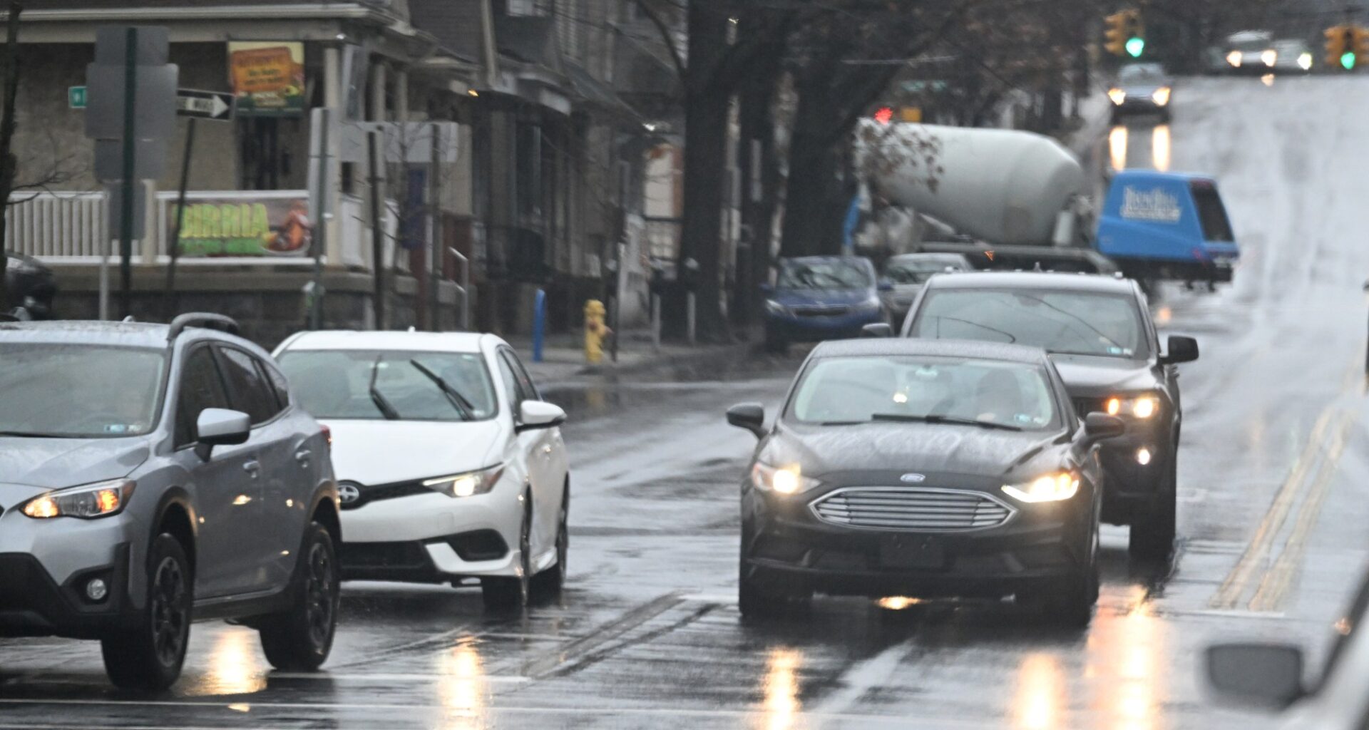
A cold front could bring showers, thunderstorms and flooding to the Lehigh Valley.
The front is expected to move through the region Thursday and could bring multiple rounds of storms, according to the National Weather Service in Mount Holly, New Jersey.
The Lehigh Valley is at a marginal risk for excessive rainfall. Rainfall rates of 2-3 inches per hour are possible, forecasters said. Timing is uncertain, but forecasters said rain could fall between noon and 9 p.m. Thursday.
“The main timing window is for Thursday afternoon and evening, though some showers may develop in the morning ahead of the main window,” meteorologists wrote Wednesday in their daily forecast discussion.
Flooding is possible in urban areas, or near creeks and streams.
Today will be quiet, but showers and thunderstorms will move in on Thursday. Storms will be capable of producing heavy downpours and flash flooding with rainfall rates of 2 to 3 inches per hour. This could result in road closures and travel disruptions for the evening commute pic.twitter.com/K272kWpJJY
— NWS Mount Holly (@NWS_MountHolly) August 19, 2026
There is a possibility of rain again over the weekend. Here is the extended forecast from the National Weather Service:
Thursday: Showers likely and possibly a thunderstorm before 3 p.m., then a chance of showers and thunderstorms between 3 p.m. and 4 p.m., then showers likely and possibly a thunderstorm after 4 p.m. Partly sunny, with a high near 81. Calm wind becoming northeast around 5 mph. Chance of precipitation is 60%. New rainfall amounts between a quarter and half of an inch possible.
Friday: Sunny, with a high near 84. Calm wind becoming northeast around 5 mph.
Saturday: A chance of showers. Partly sunny, with a high near 82. Chance of precipitation is 50%.
Sunday: A chance of showers and thunderstorms after 2 p.m. Partly sunny, with a high near 83. Chance of precipitation is 30%.
Monday: Sunny, with a high near 83.
Tuesday: Sunny, with a high near 83.