
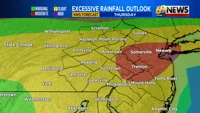
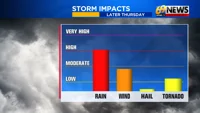
Get ready for a few rounds of rain, with the potential for heavy, flooding downpours, some damaging wind gusts, and even a tornado or two through late this afternoon into early Thursday evening.
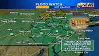
Flood watches have been extended area-wide to highlight the potential for a quick inch or two of rain in a short period of time. Where that occurs, flash flooding is possible, and in many cases, the heaviest rain will coincide with the evening commute between 4 p.m. and 8 p.m. this evening.

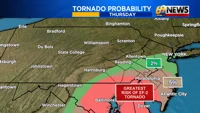
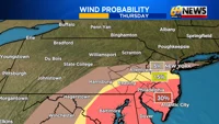
There’s also the threat of a few gusty thunderstorms, capable of producing damaging wind gusts over 60mph, and even a tornado or two. While the heavy rain threat is for everyone, the best chance for severe storms will be higher the farther south and east you travel through our area. That means the Delaware Valley and I-95 corridor as well as most of South Jersey and Delmarva will have the highest chances for wind and tornado concerns.
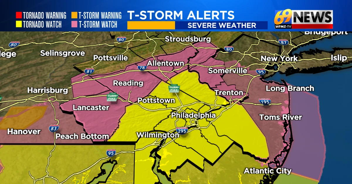
Severe thunderstorm watches do extend as far north as Berks County, the Lehigh Valley, and Warren and Hunterdon counties in Northwestern New Jersey. These areas are on the edge of the severe threat, but a gusty storm can’t be ruled out.
Farther south, tornado watches are posted from Bucks/Montgomery/Chester counties farther south and east towards the shore, including the I-95 corridor. This is where thunderstorms are expected to reach their peak intensity, and are most likely to produce a possible tornado or two. At the very least, this area is more prone to wind damage from any stronger storms.
The threat will quickly end from west to east early this evening, with most storms done in PA by sunset, and in NJ shortly after. The rest of the night is drier with at least some partial clearing.
Be sure to download the 69News Storm Center app for your mobile phone to track the storms with the latest radar, warnings, and forecasts from the 69News Storm Team.
TRACK THE WEATHER:
LINKS: HOUR BY HOUR | RADAR | TRAFFIC