
Western PA: Cooler and drier stretch ahead
A few showers will pass especially north of Pittsburgh today.
 PITTSBURGH —
More clouds with passing showers will work through western Pennsylvania today. The coverage of the raindrops will be isolated and mainly confined to areas north of Pittsburgh during the second half of the day. A pleasant week is in store for all!
Isolated Sunday showers
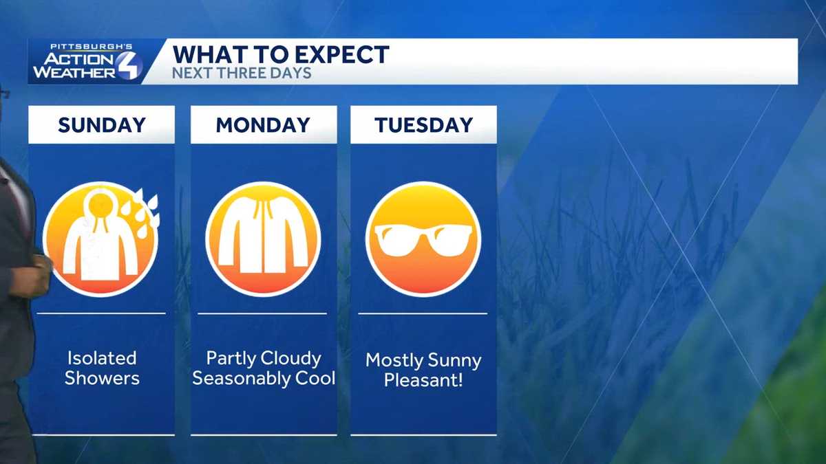
More dry time is on the way Sunday. Areas north of the Turnpike may catch isolated showers Sunday afternoon. Otherwise, skies will stay mostly cloudy through the day. A cool breeze will blow in too. High temperatures will be held in the 70s.
A September preview
It is about to feel more like September with highs in the 70s and lower humidity. We will enjoy a few days in a row of sunshine.
Rain on hold until Thursday
Following yesterday’s rain and storms, this August is now Pittsburgh’s 5th wettest all-time (based on rainfall at Pittsburgh International Airport.) The only rain chance through the end of the month is Thursday. The coverage and rain total are not that impressive.
TODAY: Mostly cloudy, breezy and cooler. Isolated showers north. High: 74°.
TONIGHT: Late night showers or rumble of thunder near I-80. Partly to mostly cloudy, low: 56°.
MONDAY: September-like with partly cloudy skies. High: 71°, low: 55°.
TUESDAY: Nice with more sunshine. High: 76°, low: 58°.
WEDNESDAY: Milder with sun and clouds. High: 79°, low: 62°.