
I’m looking at a map of the State of Pennsylvania. I see the state line with New York at Erie County’s eastern border. It extends from the Wattsburg area all the way north to the lakeshore. It gives Pennsylvania that smokestack piece of land between New York and Ohio. I wonder how Pennsylvania got that land. Why didn’t New York extend its border all the way to Ohio?
Who wouldn’t want that land? In the late 1700s, the area known as the Erie Triangle was a marvel to explorers and surveyors. They described its beauty with the green trees and the blue lake waters. They described its value. They reported that this piece of land includes a bay that could provide shelter to lake vessels.
I ask Adam Macrino, Director of Programming and Visitor Experience at the Hagen History Center, if there was ever any controversy about which state would own that valuable piece of real estate. He tells me that several states claimed ownership.
“Of course, any part of land that could be profitable is always a point of contention, explains Adam. “So, we have Pennsylvania, New York, Massachusetts, and Connecticut laying claim to the Erie Triangle.”
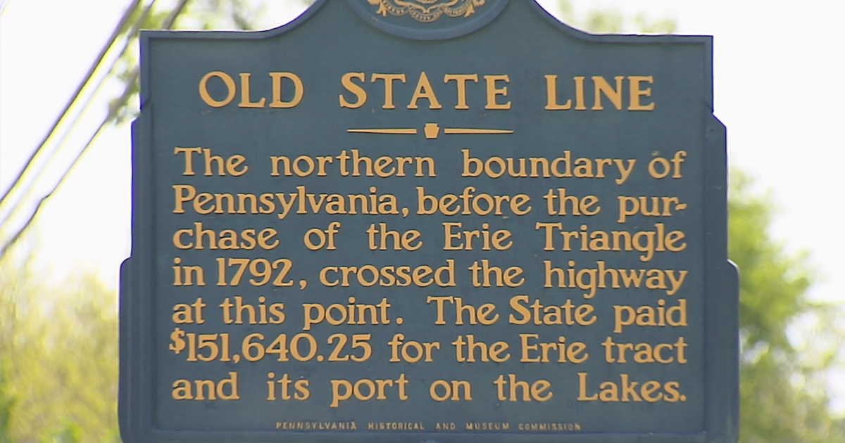
The triangle became federal land, and Congress eventually sold the land to Pennsylvania in 1792 for $151,640.25. A treaty was also signed with the Indian nations that occupied the land. One of the copies signed by the native chieftains is at the Hagen History Center in Erie. You can see the marks made on the document by each chief. One chief made a drawing of an arrow as his mark.
It was agreed that New York’s western border with Pennsylvania would be 25 miles east of Presque Isle. I travel to a spot at the border off Route 5 with Don Benczkowski, a retired coastal erosion specialist with the Pennsylvania Department of Environmental Protection. He gets permission to show me an old monument on private property. It was erected well over a century ago to commemorate Pennsylvania’s annexation of the Erie Triangle.
It makes me wonder about Pennsylvania’s western border with Ohio. Don takes me to a monument near Lake Erie erected by Pennsylvania and Ohio in 1881. It commemorates a boundary line first established in 1786. This monument, like the one on the New York border, is partially weather worn.
“We need to make sure that these kinds of monuments are preserved for generations to come so they’re never forgotten,” says Don.
Jean Ganger, of Springfield Township has a monument on her property. It’s a few feet from her backdoor! Erected in 1907, its four sides explain the entire history of the Erie Triangle. Jean is a history buff who was excited to learn about the monument after buying the property.
“A lot of people don’t even think about how state lines were established or where they are. They’re just kind of where you cross the highway and the pavement changes,” says Jean with a laugh.
The Pennsylvania Historical and Museum Commission has five roadside markers scattered across Erie County to pinpoint the Old State Line before the Erie Triangle was acquired. You can find them in McKean, Springfield Township, Wattsburg, Waterford, and Girard.