
Impact Day: Rain returns to western PA this evening
Heavier and steadier rain will impact areas southeast of Pittsburgh.
 PITTSBURGH —
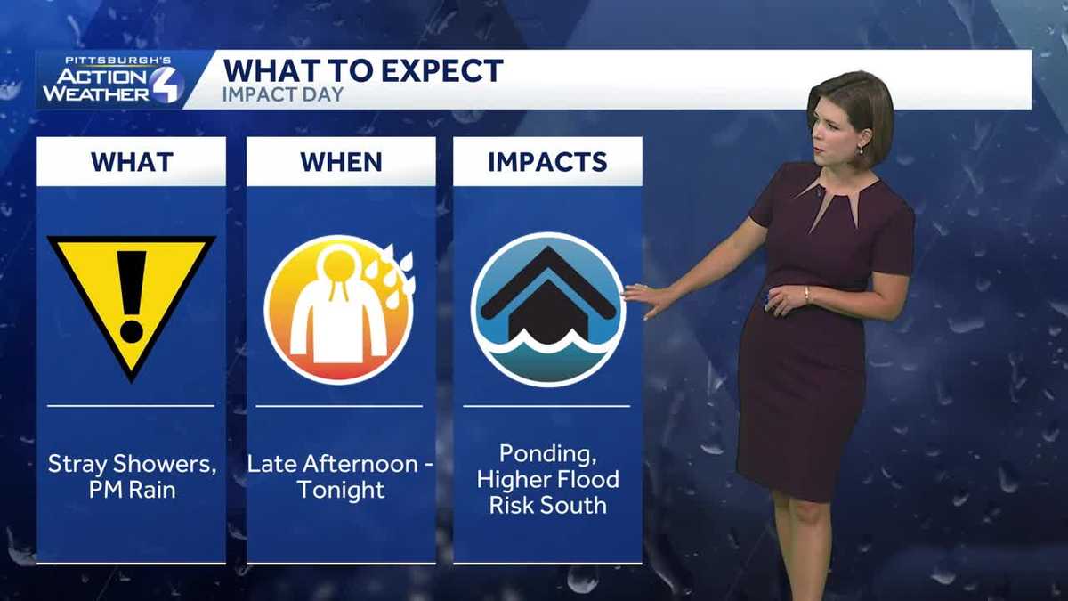
Today begins with lingering rain near the PA-WV border and leftover puddles. The Impact Day remains with more rain arriving this evening with greater impacts southeast of Pittsburgh.
Impact Day: Rain returns late-day
You may have to navigate areas of fog or leftover puddles during the morning commute. The majority of today’s rain will stay to our south for most of the day.
Rain will filter back in closer to the evening commute. The most widespread rain, which will be light for most, continues through 11 p.m. Areas south and east of Pittsburgh will likely deal with embedded downpours and rumbles of thunder. The flooding risk is higher for this part of the area. All of the wet weather will end after midnight.
Drying out and turning more comfortable Friday
More fog will form ahead of the Friday morning commute. Conditions will continue to improve throughout the day with the return of sunshine and dropping humidity. Temperatures will peak in the mid to upper 70s.
It will be a pleasant night for high school football games with temperatures cooling through the 70s.
A most dry weekend
The only bump in the road for the weekend is the return of a few rain showers Saturday afternoon. The timing could line up with kick off of the Pitt game. Otherwise, the majority of the weekend will be dry. The Steelers will open the season with partly cloudy skies and a kick off temperatures around 80 degrees at Acrisure Stadium on Sunday.
TODAY – Impact Day: Cloudy and humid. Rain returns late. High: 80°.
TONIGHT – Impact Day: Periods of rain, especially south and east. Fog forms late. Low: 64°.
FRIDAY: Turning more comfortable with decreasing clouds. High: 78°, low: 62°.
SATURDAY: Isolated afternoon showers. High: 81°, low: 66°.
SUNDAY: Warm with partly to mostly cloudy skies. High: 83°, low: 64°.