
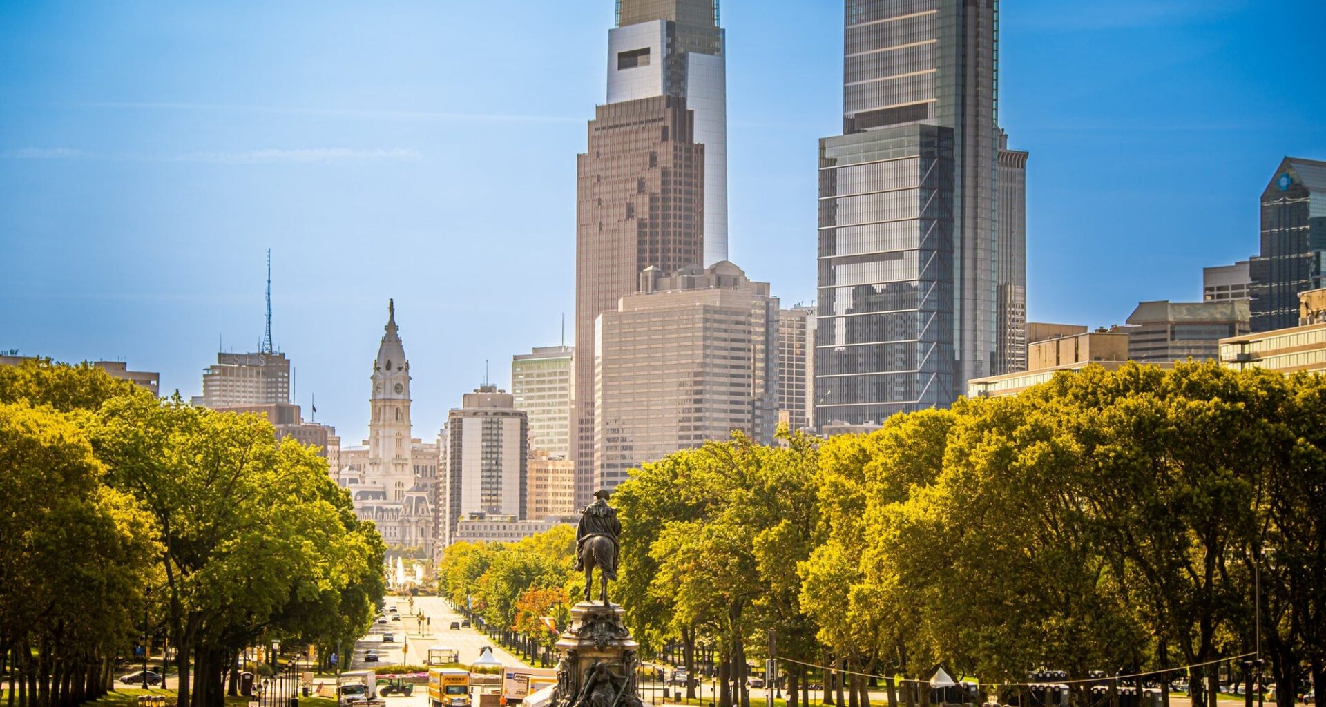
According to a WHYY report, the city’s temperature topped 90 degrees Fahrenheit 40 times so far this year. On average, Philadelphia sees 90-plus-degree days 30 times per year, stated Sarah Johnson, a warning coordination meteorologist at the National Weather Service.
In early July, temperatures hit 100 degrees for three consecutive days.
Overall, Philadelphia tied for its third-warmest summer on record in 2026, averaging 78.8 degrees from June through August, with heat intensifying as the season wore on.
Forecasters say this summer could become the warmest and most humid on record for the contiguous U.S. El Niño boosted global temperatures in 2027.
While El Niño has less impact on mid-Atlantic temperatures, it does lessen the threat of tropical storm activity in the Atlantic basin, Johnson explained.
Gabriel Vecchi, a professor of geosciences at Princeton University who specializes in climate science, noted that human-caused climate change, combined with unpredictable storm patterns, underpins Philadelphia’s unusually warm summer.
“It’s a combination of global warming increasing the odds for extreme temperatures … as well as just bad luck in the setup of the storms,” he told WHYY.
Warming is also driving hotter nights, as more moisture and urban heat retention keep nighttime temps above 70–80 degrees during heat events.
“We were not getting below 70 degrees — in some cases … we weren’t getting below 80 degrees at night,” Johnson explained. “Our bodies are really relying on a chance to recover during the overnight hours before facing additional heat during the next day.”
Even as meteorological summer ends, residents should stay prepared for potential extreme-heat impacts in the Philadelphia region before cooler weather begins to settle in this fall.