
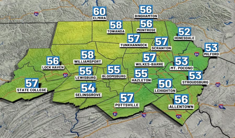
(WBRE/WYOU) — A bit more cloud cover will move in today, but some sunshine will mix in from time to time. While a majority of the day is dry, a shower or two won’t be out of the question.
You’ll notice it becoming more humid with highs near 80. Tonight will be mostly cloudy with a shower possible. Lows won’t be as cool, in the mid-60s.
More clouds than sunshine will win out Thursday with our next round of scattered showers and storms. It will be quite muggy with highs near 80. While the threat for severe storms is currently low, any storm may produce a downpour. High pressure builds in Friday with clouds breaking for sunshine. It will turn less humid with highs in the mid 70s.
We start off with some sunshine Saturday before clouds increase by the afternoon and evening. Highs near 70. Scattered showers move in Saturday night through Sunday. Highs on Sunday near 70. Additional scattered showers likely continue Monday and Tuesday. Highs near 70.
You can stay current on all the latest weather alerts and track the storm using the Future Alert Interactive Radar.
Copyright 2026 Nexstar Media, Inc. All rights reserved. This material may not be published, broadcast, rewritten, or redistributed.For the latest news, weather, sports, and streaming video, head to 28/22 News.