
Cooler Saturday before rounds of rain on Sunday in south central Pennsylvania
Saturday stays dry. Rain returns early Sunday and lingers through Sunday evening.

Tonight, lows will fall to the upper 50s under a mostly clear sky, as high pressure builds overhead.
High pressure will move over the Northeast Saturday, bringing sun to start, then increasing clouds later in the day. Highs will reach the mid-70s and humidity levels will be pleasant.
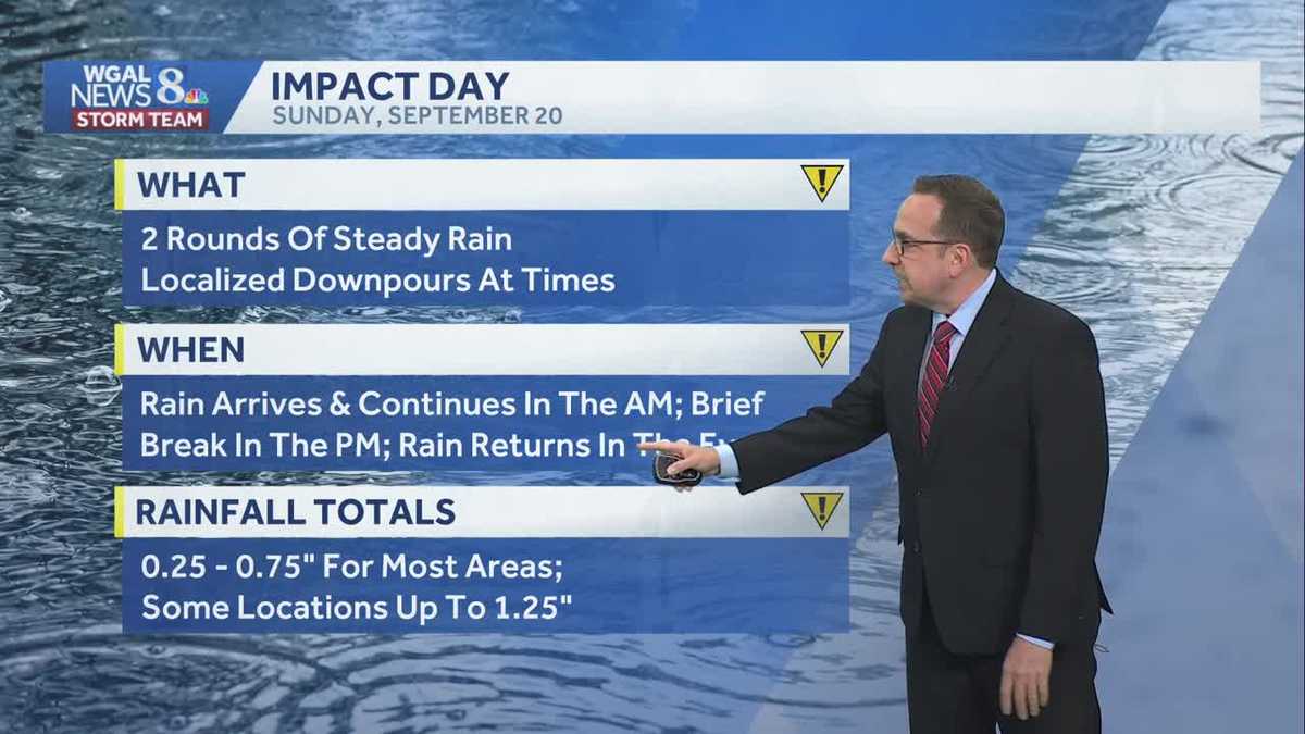
Rain returns on Sunday, making it an “Impact Day” due to rounds of rain throughout the day. As low pressure moves toward Pennsylvania, look for cloudy skies Sunday and scattered morning showers. There will be dry time in the afternoon, before periods of rain develop toward evening. The wettest part of the weekend may come late Sunday. Sunday’s rain totals will range between 0.25″ to 0.75″ for most, with some higher totals.
Next week, a daily chance of showers is in the forecast, as an upper-level disturbance churns over the region. At the surface, high pressure over the Northeast will keep temperatures cool and over 10 degrees below average most days. The wettest days look to be Monday through Wednesday, when an additional inch of rain may fall.
Rain chances taper toward the end of the week, and temperatures warm to the low 70s.
Have a great night!