
Soggy start to fall, highs near 60; drier Wednesday in south central Pennsylvania
Today will be the coolest and wettest day of the week.

Good afternoon,
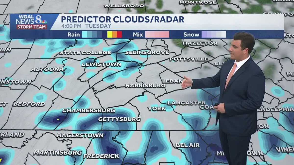
Scattered showers continue across the Susquehanna Valley for the first day of fall.
Rain may taper in northern counties this afternoon, but it will continue at times along and south of the PA Turnpike. As drier air arrives from the north this evening, rain will taper area-wide, but there will still be pockets of showers and drizzle. Temperatures will hold near 60 degrees, which is 15 degrees below average. Rain totals from this event will range from 0.50″ to 1″ for most of the area, with some higher totals south.
Tonight, lows will fall to the low 50s under cloudy skies. The last few showers will end, and patchy fog is possible.
As high pressure builds across the Northeast, drier air will move in Wednesday. Look for a mix of clouds and sun and comfortable humidity levels. Highs will reach 66 degrees with a light breeze.
High pressure will keep the forecast dry Thursday. It will be cool and crisp, with highs in the upper 60s. Friday will also feature dry weather, with highs close to 70 degrees. Breezy conditions continue both days.
We’re watching a Nor’easter, or coastal storm, off the Mid-Atlantic at the end of the week. The storm will remain offshore, but could clip us with a few showers Saturday. We’ll monitor the chance over the coming days. It will also be breezy over the weekend, with highs near 70.
Next week, high temperatures will remain around average, in the low-to-mid 70s. Lows will be seasonably cool, in the 50s.
Have a great day!