

DETAILED FORECAST
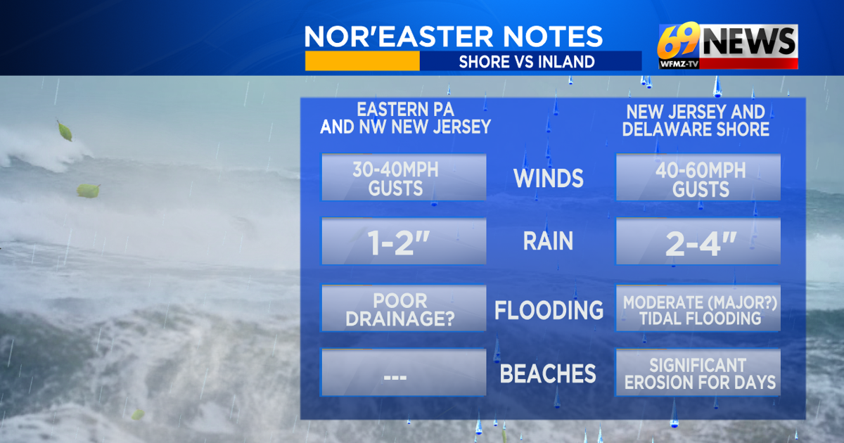
It won’t be tropical. So it won’t have a “name.” But our impending and still-developing weekend Nor’easter will pack a punch over the next few days. That’s especially true along the coast, as the coast will get the most, the most flooding, the most wind, the most beach erosion, and the most rain.
While the core will be at the shore, we will certainly be impacted as well here in eastern Pennsylvania and northwestern New Jersey. The heaviest rain and highest flooding prospects will stay to our east, as will the strongest and possibly damaging winds, which will be confined to areas closer to the coast. But if you have outdoor plans this weekend, anytime by midday Saturday through most of Sunday, expect a wet and windy weekend, and many of those plans without a rain contingency likely delayed or postponed.
Here’s what we’re expecting:
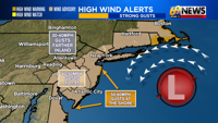
TRACK: Our nor’easter is not taking a traditional track northeast up the shore. While it is tracking northeast for now, it will take a sharp left (west) turn over the weekend, and eventually “back in” towards the New Jersey shore. It’s unusual, so our wet weather will come in from the east, instead of the west or south like it usually does.
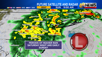
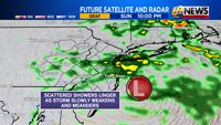
TIMING: Expect some rain to spread onshore into New Jersey tonight, then spread back west through Pennsylvania Saturday morning to early afternoon. The steadiest rain is likely Saturday night and Sunday morning, followed by perhaps a lull Sunday afternoon, with some scattered showers returning late Sunday through the night and lingering showers ending sometime early Monday.
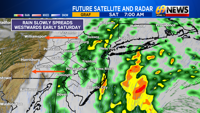
RAINFALL AMOUNTS: The shore will get the most, likely 2-3″ with locally 4″ totals in eastern New Jersey and Delaware. Farthest west across eastern PA, including the Lehigh Valley and Poconos, 1-2″ of rain is currently expected. Amounts will diminish closer to 1/2″ to 1″ farther west towards the I-81 corridor and into central PA.
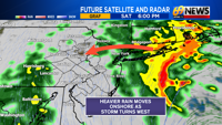
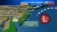
FLOODING: Flooding due to heavy rain is most likely at the shore where the heaviest rain and highest totals will be. Plus you’ll have tidal flooding to make things even worse. For us farther inland, we can largely handle 1-2″ of rain with few problems. Still, some poor drainage flooding in the usual spots will likely pop up.
WINDS: 50- 60 mph gusts are possible (from the north/northeast) along the barrier islands tonight through early Sunday, with 40-50mph peak gusts possible as far inland as the I-95 corridor. Farther west for most of eastern PA and northwest NJ, 30-40mph peak gusts will lead to a windswept rain at times, but no big concerns for wind damage or power outages. Those concerns will be limited more along the coast.
COASTAL CONCERNS: NJ, DE, AND MD beaches have already been battered by a week-long onshore flow, with heavy surf, beach erosion, rip currents, and tidal flooding. We’ll add the strongest winds and heaviest rain yet to come to that battering this weekend, with moderate to major tidal flooding expected. Continued heavy surf means worsening erosion too.
TRACK THE WEATHER:
LINKS: HOUR BY HOUR | RADAR | TRAFFIC