
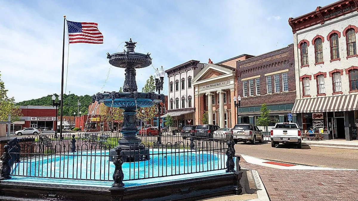
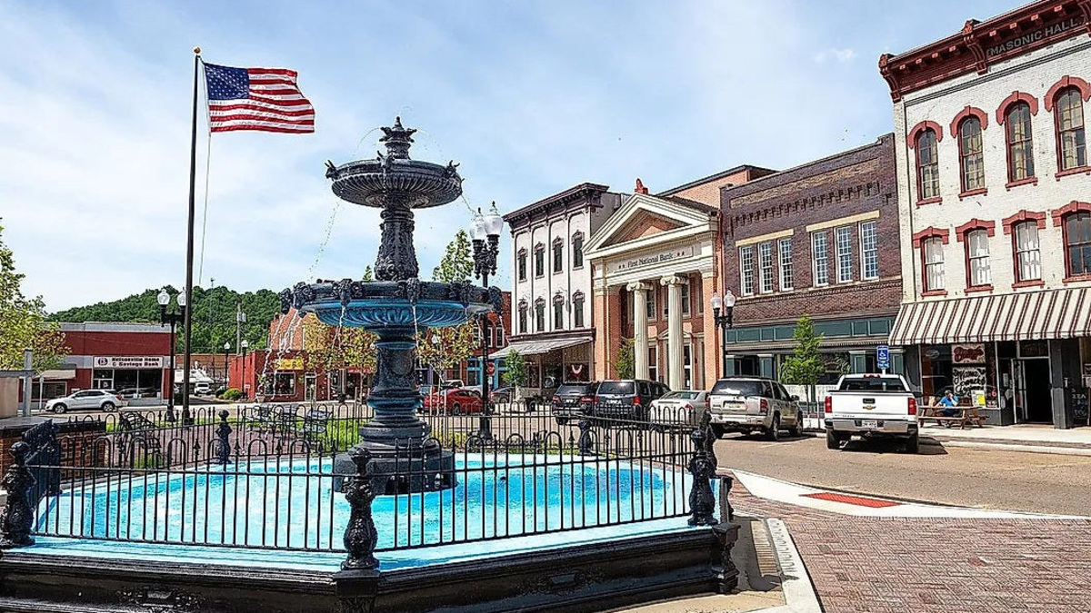
Nelsonville’s historic downtown square.
Provided by USDA Forest Service,
USA TODAY Network, Reuters
Drivers looking for dramatic Appalachian ridges or a journey through Ohio’s canal-era history will find two familiar routes among WorldAtlas’ picks for the 10 most scenic drives in the state. The Ohio & Erie Canalway and Appalachian Byway of Ohio were highlighted alongside eight other designated scenic byways, according to a community announcement.
While WorldAtlas noted Ohio lacks the mountain passes and coastal highways found elsewhere in the country, the publication pointed to the state’s contrasting landscapes, from canal corridors and river valleys to the rugged terrain of Appalachian Ohio.
The two routes offer distinctly different experiences and showcase some of Ohio’s most recognizable scenery.
Ohio & Erie Canalway connects cities, villages and national park scenery
The Ohio & Erie Canalway stretches 110 miles from Cleveland to New Philadelphia, with a spur connecting Massillon and Canton. Rather than following a single highway, the route links state routes, county roads and city streets through the Ohio & Erie Canalway National Heritage Area.
WorldAtlas described the drive as one of the most diverse scenic routes in Ohio. The byway begins in Cleveland, follows the Cuyahoga River valley and continues south through farmland in Tuscarawas County.
Much of the route traces the alignment of the historic Ohio & Erie Canal, placing drivers alongside the Towpath Trail and the Cuyahoga Valley Scenic Railroad for extended portions of the drive.
A centerpiece of the route is Cuyahoga Valley National Park, where Riverview Road follows the river through forests, wetlands and historic canal-era landscapes.
Other highlights include Deep Lock Quarry Metro Park in Peninsula, home to the deepest lock on the canal, and Hale Farm & Village in Bath, a living-history museum that interprets 19th-century Ohio life.
Farther south, the byway links a series of historic canal communities including Barberton, Canal Fulton, Massillon, Navarre, Bolivar, Zoar, Dover and New Philadelphia.
WorldAtlas singled out Zoar, a village settled by German Separatists in 1817 that later helped build portions of the canal. The village is now a National Historic Landmark.
Appalachian Byway offers some of Ohio’s most dramatic views
The route follows Ohio 78 for about 105 miles from Clarington on the Ohio River to Nelsonville and crosses portions of Monroe, Noble, Morgan and Athens counties.
WorldAtlas described the byway as the closest thing Ohio has to a mountain road. The route climbs and descends repeatedly across the unglaciated Allegheny Plateau, providing ridge-top views uncommon in much of the state.
One of the best-known stretches runs along the southern edge of Burr Oak State Park in Morgan County. Nicknamed the Rim of the World, the section is known for sharp curves and expansive views across southeastern Ohio and is also part of Ohio’s Windy 9 driving routes.
Traveling west from the Ohio River, drivers pass through Woodsfield and encounter several popular stops, including Wolf Run State Park and The Wilds near Cumberland via an officially signed spur route.
The byway also passes Jesse Owens State Park, home to the Big Muskie Bucket, the last remaining piece of what was once the world’s largest dragline excavator and a reminder of the region’s mining history.
McConnelsville sits near the center of the route before the road continues to Nelsonville, where visitors can explore the historic public square and Stuart’s Opera House, which dates to 1879.
WorldAtlas noted that fall provides some of the strongest views along the route, while spring offers clear ridge-top vistas before trees fully leaf out.
Other scenic drives also made the list
WorldAtlas’ list also included:
Covered Bridge Scenic BywayOhio River Scenic BywayWelsh Scenic BywayHocking Hills Scenic BywayQuaker Heritage Scenic BywayLand of the Cross-Tipped ChurchesMiami and Erie Canal Scenic BywayBig Darby Plains Scenic Byway
Together, the routes showcase the range of landscapes found across Ohio, from canal towns and river valleys to farmland, forests and Appalachian ridges.
This story was produced with the assistance of Artificial Intelligence (AI). Journalists were involved in every step of the review, editing and publishing process. Learn more at cm.usatoday.com/ethical-conduct.
This article originally appeared on The Times-Reporter: Ohio Canalway and Appalachian Byway make top-10 list for scenic drives in Ohio
Reporting by Jane Imbody, The Times-Reporter / The Times-Reporter
USA TODAY Network via Reuters Connect
Copyright Reuters or USA Today via Reuters Connect
This story was originally published September 27, 2026 at 5:05 AM.