
Warm start to October; shower chances return Friday in south central Pennsylvania
Temperatures are forecast to peak around 80º both Thursday and Friday. An incoming cold front brings the chance of scattered showers Friday afternoon and evening.

Good morning!
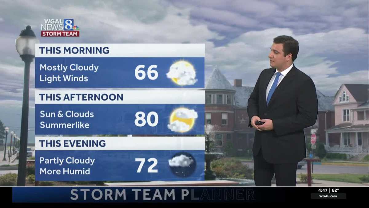
Summer-like warmth moves in for the first couple of days of October. Highs climb to around 80 degrees on Thursday and Friday.
We will start our Thursday with a mainly cloudy sky, but the clouds are expected to break up in the afternoon, with highs near 80°.
Tonight, expect a partly cloudy sky and very mild overnight temperatures. Overnight temperatures will only drop to the low/mid 60s, about 10° above average for the overnight low.
Friday will be the warmest day of the week with highs in the low 80s. Clouds will increase throughout the afternoon with an approaching moisture-starved cold front. There may be scattered showers during the afternoon and early evening Friday after 2 p.m. and for Friday night high school football games. Widespread rainfall is not expected, but areas where showers occur can expect rain totals from a trace up to 0.15”.
The first weekend of October looks dry to start for most of the Susquehanna Valley, and much cooler and more seasonable. Besides a stray morning shower south of Route 30, look for a partly sunny sky on Saturday, with highs around 70 degrees.
There is a better chance for showers on Sunday; however, it’s not a washout. A low pressure system will pass by to our south, providing the moisture and clouds needed for rain. However, the extent of the rain and how much depends on how close the low’s center gets to the Susquehanna Valley. A track farther south will mean less rain while a track farther north will lead to more rain. At this time, the best chance for showers will be along and south of the Pennsylvania Turnpike. Temperatures stay cooler with highs in the mid-60s under a partly to mostly cloudy sky.
The following week looks dry and pleasant, with cool highs in the low to mid 60s, and chillier overnight lows in the 40s and 50s. Some locations in the high elevations may get patchy frost Monday night and Tuesday night. Tuesday night will be the coldest with overnight lows in the upper 30s for the higher elevations.
Heading into late next week, temperatures are back up to the upper 60s to near 70 degrees under partly to mostly sunny skies.
Have a great day!