
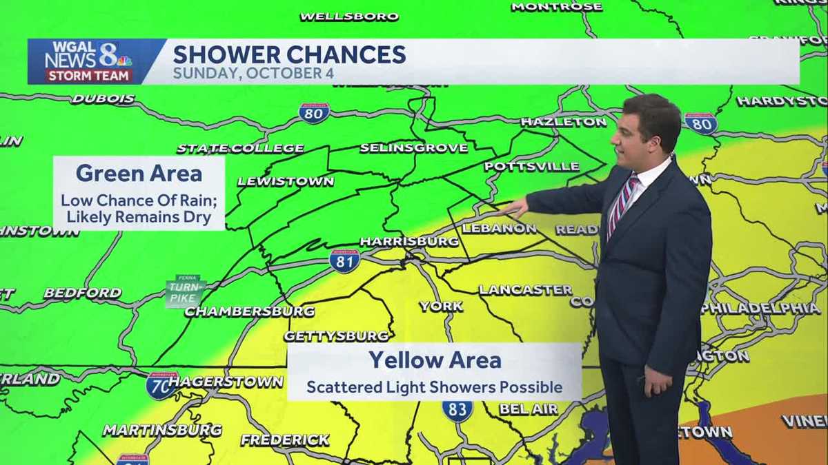
Cooler Sunday with scattered showers for some in south central Pennsylvania
A storm system will pass to our south on Sunday and clip parts of the Susquehanna Valley, bringing showers mainly east of I-81.

Good evening,
Our Saturday evening remains dry and quiet with a partly cloudy sky. Temperatures continue in the 60s and will drop into the 50s overnight.
While Sunday is not a washout, there is a chance for scattered light showers and drizzle. A low-pressure system will pass by to our south, providing the moisture and clouds needed for rain. The best chance of scattered light showers will be east and southeast of I-81 early in the day. Highs will stay cooler than average in the low to mid 60s under mostly cloudy skies.
The clouds will decrease Sunday night and help set up a comfortable start to the work/school week on Monday. Monday’s high climbs to the upper 60s, followed by a couple more days in the low to mid 60s.
Overnight lows are chillier in the 40s and 50s. Some locations in the high elevations may get patchy frost Monday night and Tuesday night. Tuesday night will be the coldest, with overnight lows in the upper 30s for higher elevations.
The dry and sunny conditions continue Wednesday and Thursday as temperatures return to near 70° for the middle and low/mid 70s for the end of the week. Thursday and Friday will be the warmest days, with highs in the mid-70s for many. Overnight temperatures will return to near average for October, in the upper 40s and low 50s after Wednesday morning.
The following weekend is looking fantastic and one to really take advantage of outside! Under a mostly to partly sunny sky, both Saturday and Sunday will be nice and comfortable, with highs near 70°. Rain chances return to the forecast immediately following the weekend on Monday and Tuesday.
Have a great night!