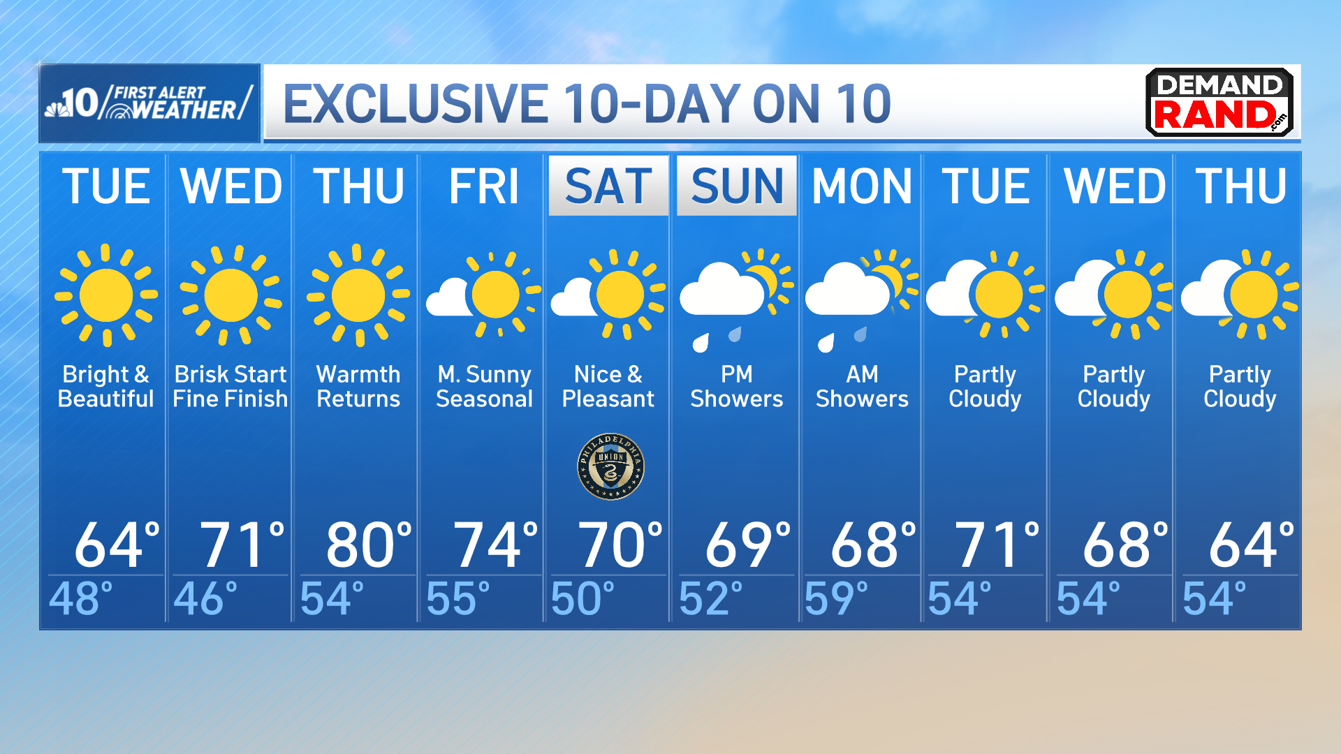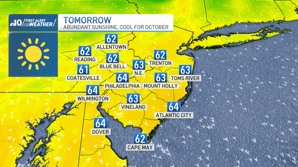
High pressure will dominate our weather pattern for several days to provide abundant sunshine.
Monday night will be clear and cool with overnight lows falling into the 40s across the region.
NBC10NBC10
Tuesday will be five to 10 degrees below average despite wall to wall sunshine thanks to a cool northwesterly breeze.
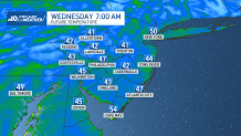
The coolest air of the week settles into place Wednesday morning before temperatures rise into the upper 70s and low 80s for Thursday.
A weak cold front will move through our region Thursday night to drops temperatures back to more seasonable values.
Our weather remains dry into the first half of the weekend thanks to a second area of high pressure.
Then, an area of low pressure (which is currently gaining strength in the Gulf) may provide rain and breezy conditions for our neighborhoods Sunday evening into Monday.