
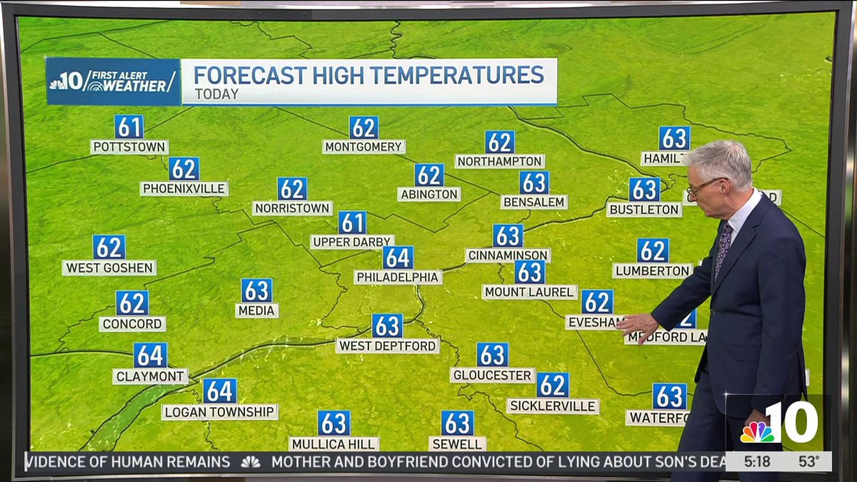
Skies are clear this morning and it is decidedly chilly with temperatures running 5 to 12 degrees cooler than Monday, putting most neighborhoods in the 40s to start the day.
The good news is bright sunny skies are here to stay as high pressure has built into our area and will be sticking around for days.
High of 64° on Tuesday afternoon in Philadelphia with light winds.
With very dry air in place, temperatures get a touch colder on Tuesday night with lows in the low to mid 40s, and a few neighborhoods in the Pennsylvania suburbs and interior New Jersey may dip into the upper 30s.
A temperature turnaround begins Wednesday as sunny skies warm us from those chilly morning readings into the low 70s with a high of 72° for Philadelphia.
The warming continues Thursday with another day filled with sunshine and low humidity, reaching 79°.
By Thursday morning, those chilly starts are behind us with morning readings settling into the 50s heading into the weekend.
Mostly sunny skies carry us through Friday and Saturday with a high of 74° Friday and 71° Saturday.
Sunday sees the return of clouds and after a dry start, showers are likely to develop in the afternoon with rain continuing Sunday night into Monday.
Temperatures top out at 69° Sunday and 71° Monday afternoon, there’s still a chance of some late day clearing for Columbus Day.