
 Updated Wed, October 7, 2026 at 10:41 AM UTC
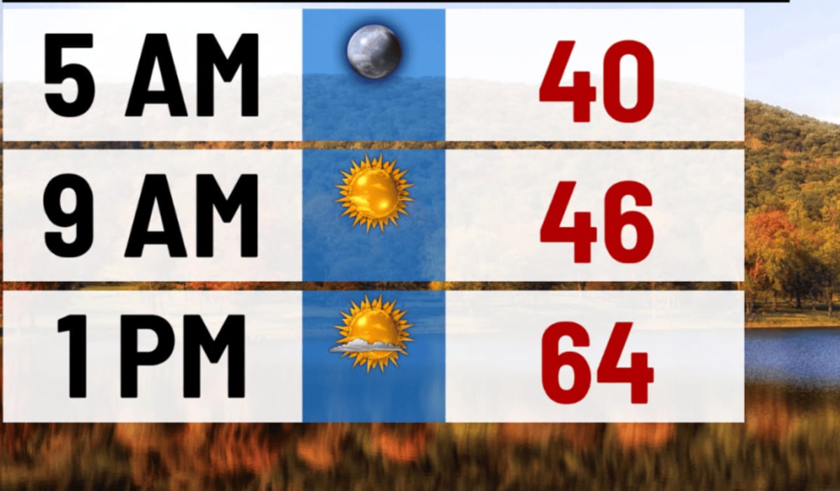
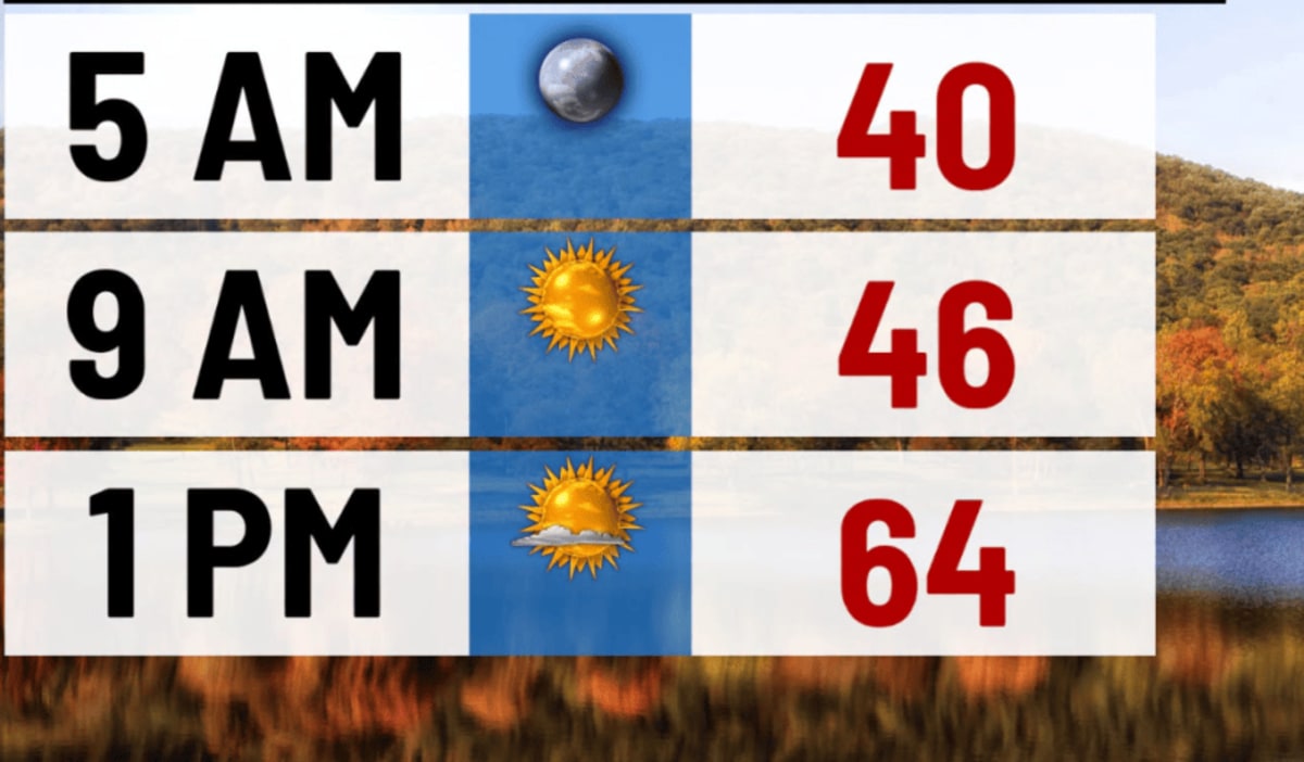
(WBRE/WYOU) — High pressure continues to keep us quiet and dry today with plenty of sunshine.
Winds shift out of the south, so it will be a bit warmer than Tuesday. Highs in the upper 60s. Tonight will be mostly clear and not as chilly. Lows around 50.
A disturbance will pass to our north on Thursday with a few more clouds and a stray shower possible. Otherwise, partly sunny and breezy with highs in the lower 70s. High pressure returns Friday and Saturday with a mostly sunny sky. Highs on Friday in the upper 60s, near 70 Saturday.
Our attention turns to the tropics Sunday and early Monday as remnants from a tropical system will impact our region. This means a round of rain will be expected. Highs each day will be in the upper 60s. Granted, any shift in the storm track can alter conditions for us, so stay tuned!
You can stay current on all the latest weather alerts and track the storm using the Future Alert Interactive Radar.
Copyright 2026 Nexstar Media, Inc. All rights reserved. This material may not be published, broadcast, rewritten, or redistributed.For the latest news, weather, sports, and streaming video, head to 28/22 News.