
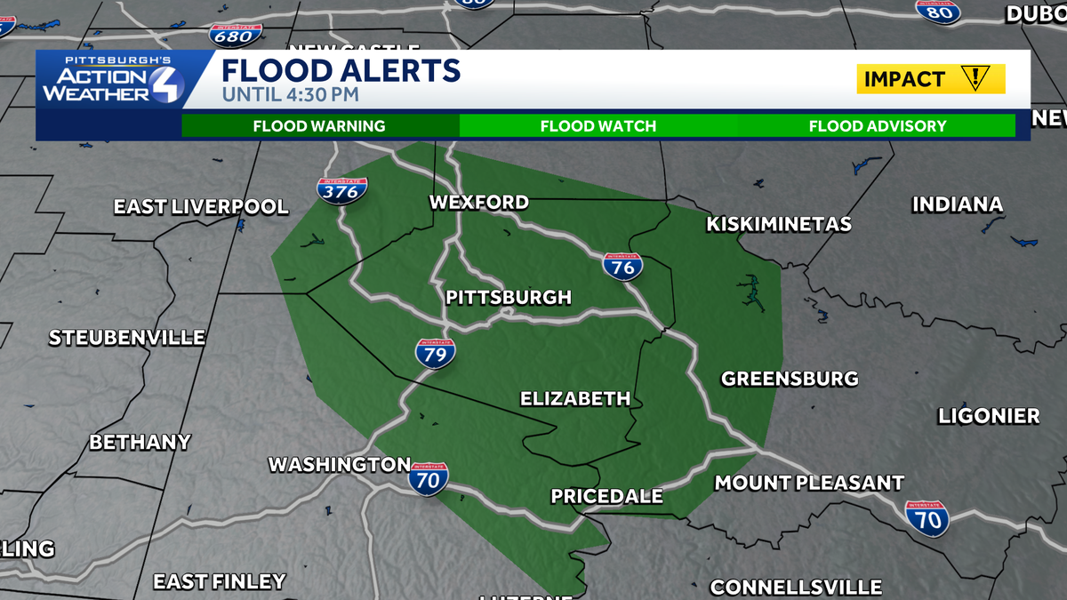
A Flood Advisory until 4:30 p.m. for the Pittsburgh metro area.
 PITTSBURGH —
Today’s Impact Day is for a soaking rain plus gusty winds, especially for the Laurel Highlands. The worse of the wind and rain will hit before noon. We remain cool, damp and breezy through the afternoon.
Wind Advisory until 2 p.m.
A Wind Advisory is in effect until 2 p.m. Sunday for the higher elevations of Garrett and Indiana counties along with Fayette, Monongalia, Preston, and Westmoreland counties. Wind gusts on the ridgetops and downslope areas could reach 55 mph.

Hearst OwnedHearst
The strongest gusts will be in Fayette and Westmoreland counties.
Steady and heavy morning rain, damp afternoon
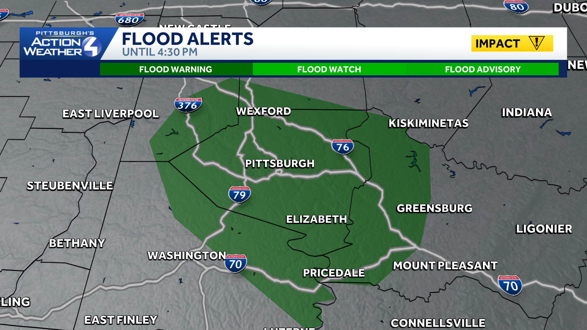
Localized flooding issues continue around the Pittsburgh area. A Flood Warning now remains in effect until 4:30 p.m. Some areas have received two to three inches of rain in Allegheny County. Any additional rainfall, even light rain, will create more runoff and quicken the flow of streams and creeks.
Hearst OwnedHearst
We will need to monitor for ponding and rising creeks and streams through this afternoon.
The heaviest rain is winding down. Rain will taper off in coverage through the early afternoon. Isolated to stray showers and sprinkles will hang on through the Monday morning commute.
Drying out and heating up in the near-term
A rush of toasty October air arrives Tuesday with highs near 80 degrees. A mid-week boundary will knock temperatures back into a seasonable range by Thursday. The “best” rain chance of the week comes will another front, which is backed by a chilly air mass for next weekend.

Hearst OwnedHearst
Toasty temperatures to begin the new week. A chill arrives next weekend.
TODAY – Impact Day: Periods of heavy rain, windy especially east. High: 63°.
TONIGHT: Stray showers with areas of fog. Low: 59°.
MONDAY: Leftover morning sprinkle, otherwise cloudy. High: 71°, low: 60°.
TUESDAY: Breezy and much warmer, sun and clouds. High: 79°, low: 62°.
WEDNESDAY: Shower possible. High: 71°, low: 53°.