
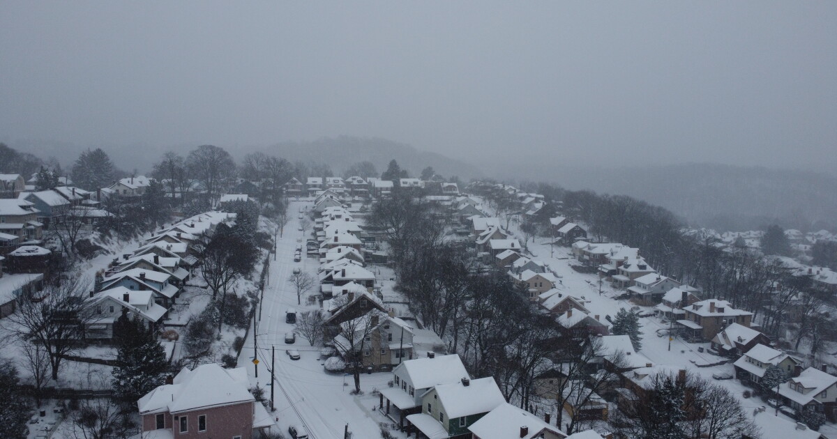
This week feels like summer and winter all in one: After a high of around 80 degrees forecast for Tuesday, Pittsburgh is set to cool down so much that snow could be potential this weekend.
But don’t get your shovels out too soon. The probability of piles of snow is low, according to National Weather Service meteorologist Jason Frazier.
“We have a cold front that will move into the region late Friday into Saturday and bring starkly cold air compared to where we have been, which has been at or above normal for this time of year,” Frazier said. Lows will be in the 30s with highs in the 50s this weekend, but it’s not predicted to be cold enough to produce flurries, let along snow that sticks, Frazier said.
But if chilly temperatures move into the Pittsburgh area behind an incoming cold front, we could see the chances of snowflakes increase as we head into the weekend.
“We can’t rule this out,” Frazier said of the autumnal snow chance.
The weather whiplash is normal for the region, Frazier said.
“You have winter having to battle with summer,” he said of the transitional period.
But fear not: Pittsburgh is likely to bounce back to warmer days before true sweater weather sets in, Frazier said.
“The good news if you’re not wanting winter to arrive is that this cold air looks unlikely to stay for long and temperatures will rise or go back towards at least normal fall values for mid October as we get into the start of next week.”