
After some unseasonable warmth the last couple of days, temperatures returned to more typical levels for this time of the year on Thursday, and that may have you thinking we’re now in for a stretch of typical October weather for some time. Well, not so fast! We’re about to go back to a summer-like feel on Friday, which also helps set the stage for some possible severe weather later in the day.

Our Friday will likely start out cloudy with some showers around before things dry out and turn sunny later in the morning through the afternoon. With the sunshine and a southwest breeze taking hold, our temperatures should soar through the 70s Friday afternoon, and may even approach 80 degrees in a few spots. Not only that, but dew points should also climb well into the 60s, making things feel humid by Friday afternoon. At the same time, we’ll be tracking a potent cold front moving towards our region from the west, and as that front clashes with the warm and humid air, we’ll likely see a line of showers and thunderstorms also moving towards the region from the west.
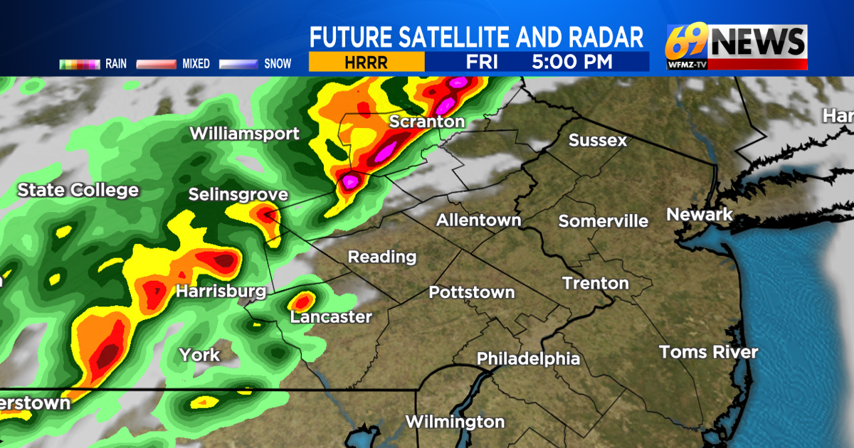
Roughly between 4 p.m. and 8 p.m. is when we anticipate a line of gusty showers and thunderstorms to cross the region from west to east, soonest out near the I-81 corridor and latest from I-95 and points south and east of there. This means for a lot of us, we may very well be dealing with some squally weather coming through during the rush hour commute. It’s also possible thunderstorms impact the start of high school football games, although it appears at this time that for much of the Lehigh Valley, Berks, and Poconos, any storms will have moved away to our east by the time games would get going.
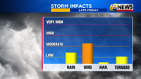
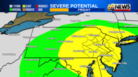
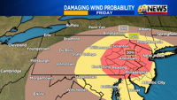
The Storm Prediction Center has placed the entire region under a “slight risk” for severe weather Friday, which is a level 2 out of 5. While not everyone will see severe thunderstorm criteria, there will certainly be dynamics at play in the atmosphere that could lead to some experiencing damaging straight-line wind gusts.
There is also even a small, but non-zero, chance of a brief spin-up of a tornado. The good news is that this will likely be a once-and-done deal where it’s simply a line of storms we’ll follow, and once it moves through, you’re in the clear. And while rainfall could be locally heavy, because it will come with a fast-moving line of storms, it shouldn’t last too long and shouldn’t create any big flooding concerns.
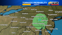
Be sure to stay with WFMZ-TV 69News, the 69News Weather Channel, wfmz.com, and your 69News Storm Center App as we progress through Friday. Remember, our app is free to download on your mobile phone and provides the latest radars, watches and warnings, and forecasts from our storm team.
Our team of meteorologists will also track any potential severe storms later Friday, especially during our early evening newscasts from 4 p.m. through 6:30 p.m. on WFMZ-TV, and also on our 8 p.m. newscast.
TRACK THE WEATHER:
LINKS: HOUR BY HOUR | RADAR | TRAFFIC