
 SUSQUEHANNA VALLEY, Pa. —
South-central Pennsylvania faces two Impact Days as strong to severe thunderstorms are possible on Friday, before gusty winds and cold temperatures take over Saturday. The region could see it’s first frost or freeze of the season.
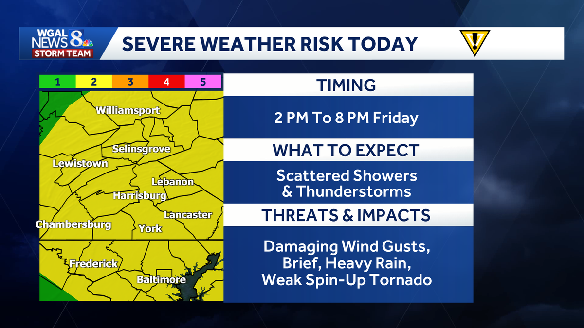
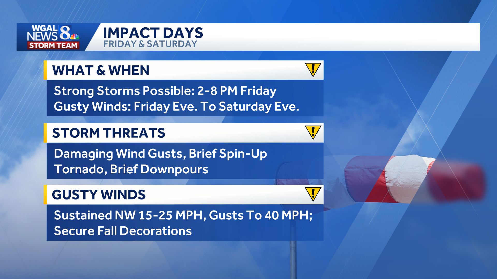 Friday: Strong to severe thunderstorms Timing: Friday morning: Light showers, mist, drizzle and areas of fog. Rain should end after sunrise.Late morning to early afternoon: Partial clearing develops, with muggy conditions and highs in the upper 70s to lower 80s.Afternoon and evening: Scattered showers will develop as a strong cold front approaches. 2 p.m. to 8 p.m.: Primary window for strong to severe thunderstorms. After dark: Storms move east and end as the cold front passes.
Below: Swipe through the predicted radar.
This content is imported from infogram. You may be able to find the same content in another format, or you may be able to find more information, at their web site.
The amount of afternoon sunshine will influence the strength of the storms. More sunshine would increase atmospheric instability and raise the potential for severe thunderstorms as a strong cold front approaches.
Severe weather risk:
The Storm Prediction Center has placed the Susquehanna Valley under a slight risk (level 2/5) for severe weather.
The extent of the threat will depend partly on how much clearing occurs after the morning showers. Areas receiving more sunshine may experience stronger storms.
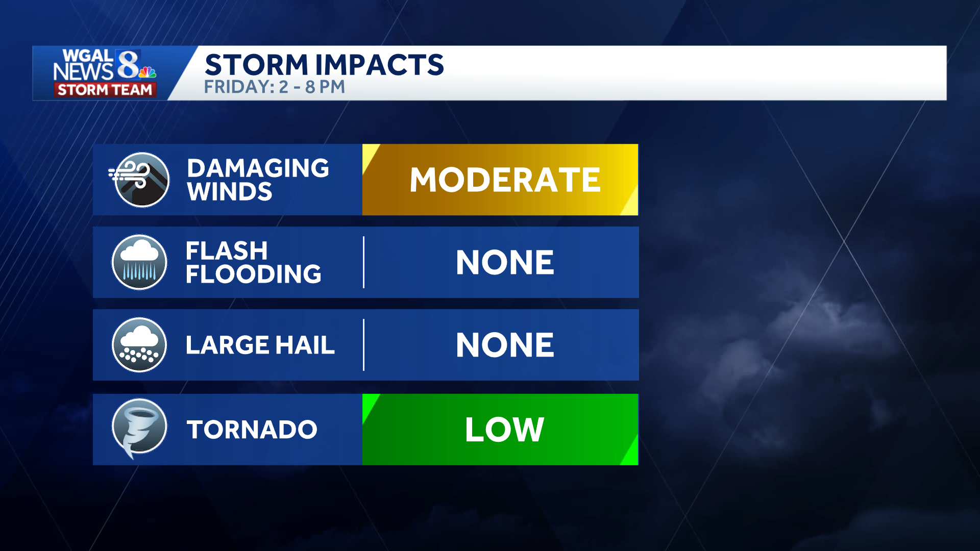
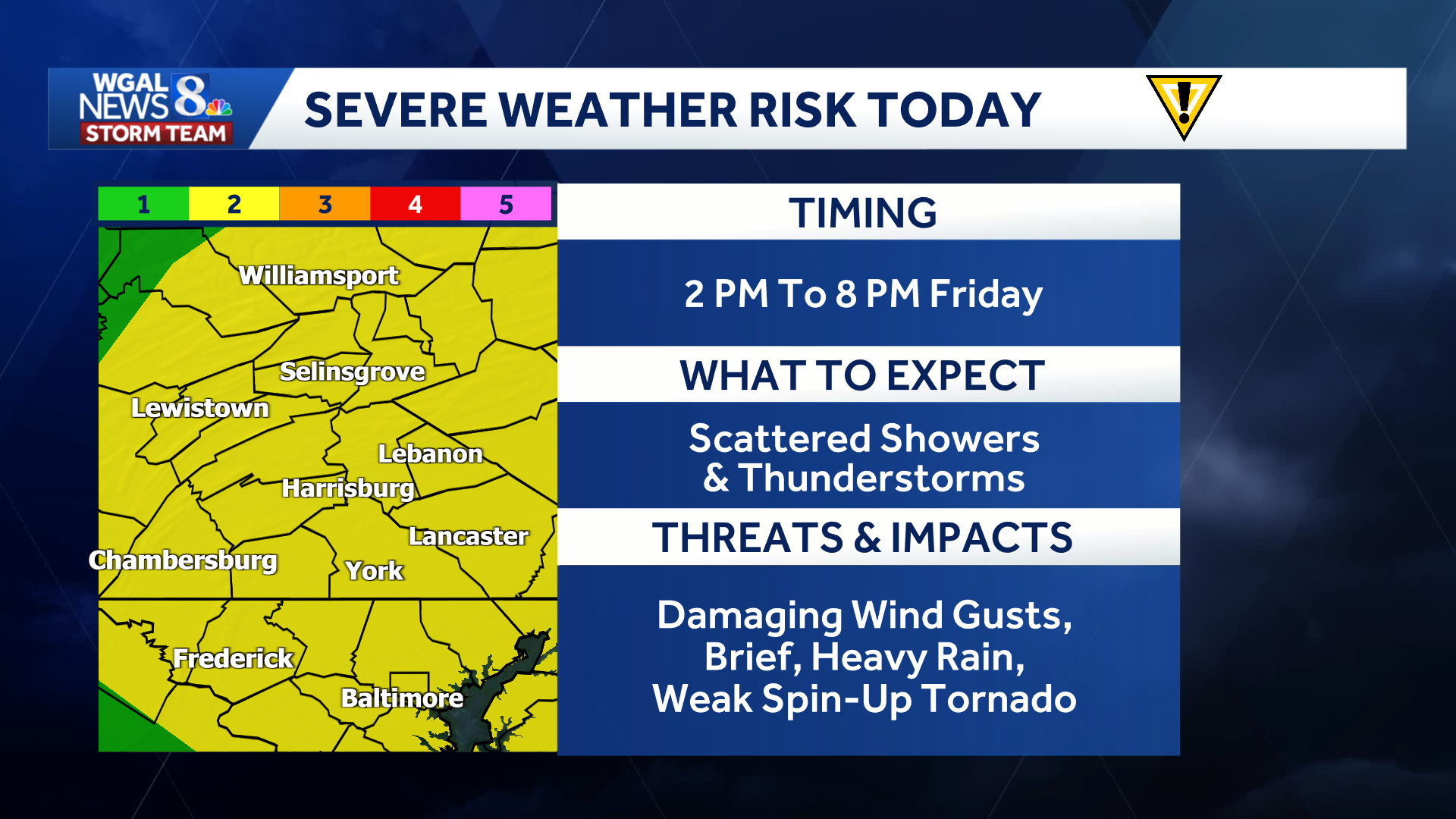 Main threats: Damaging wind gustsBrief, heavy rainLightning Isolated tornado: Low risk, mainly along and east of U.S. Route 15
There is currently no threat of large hail or flash flooding.
 Saturday turns windy, cold
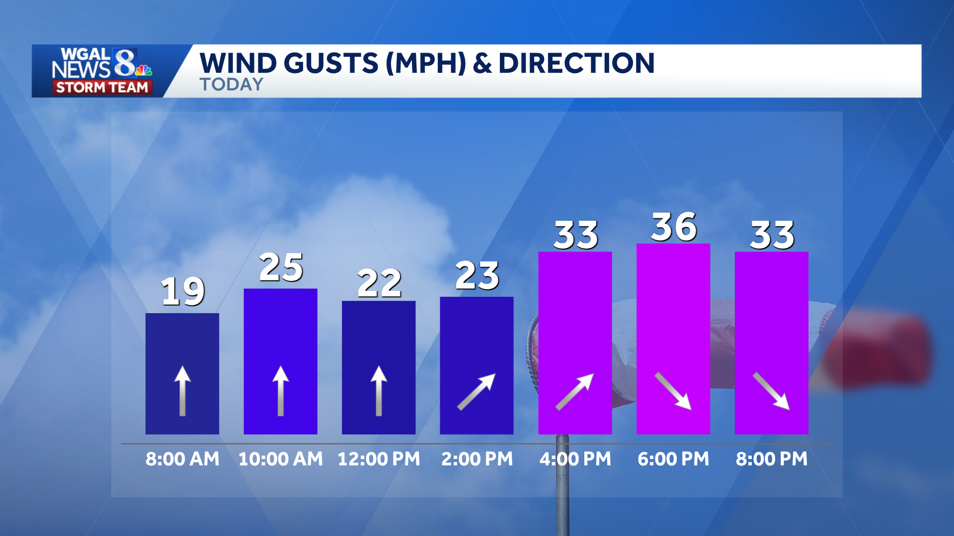
Strong northwesterly winds will develop behind the cold front Friday night and continue through early Saturday evening.
Sustained winds will reach 15–25 mph, with gusts of approximately 40 mph.
Residents should consider securing loose outdoor items and decorations. Winds will gradually weaken Saturday evening as high pressure moves over the region.
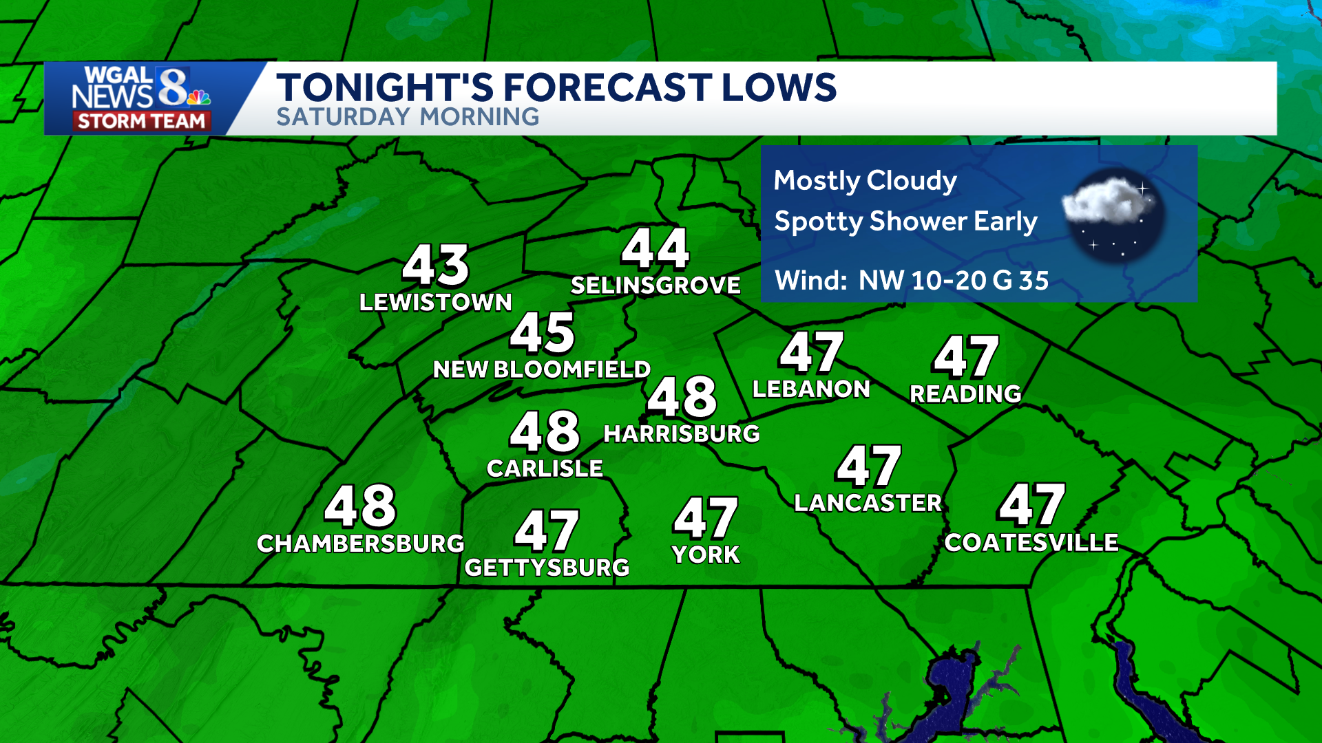
Saturday will begin with clouds before skies gradually clear. Temperatures will only reach the lower to middle 50s, a significant drop from Friday’s highs near 80 degrees.
 First frost or freeze possible
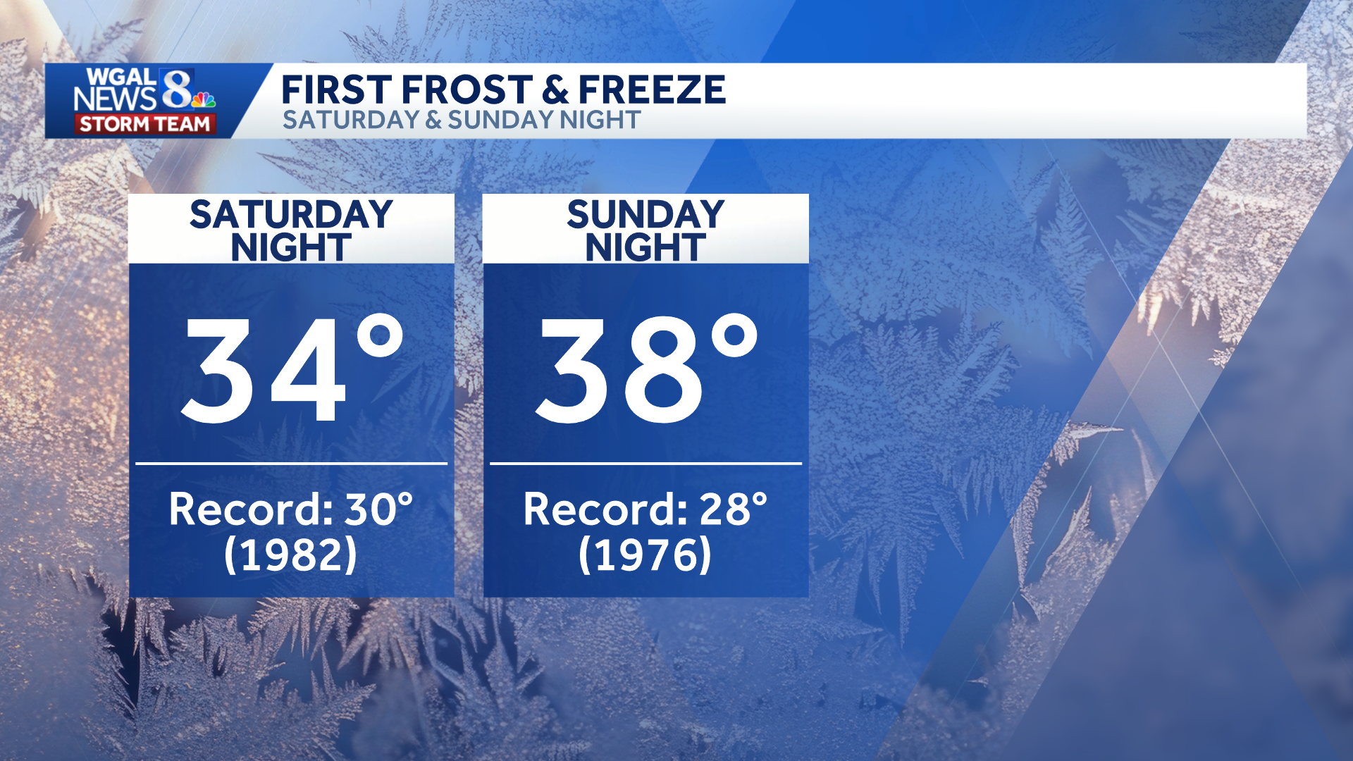
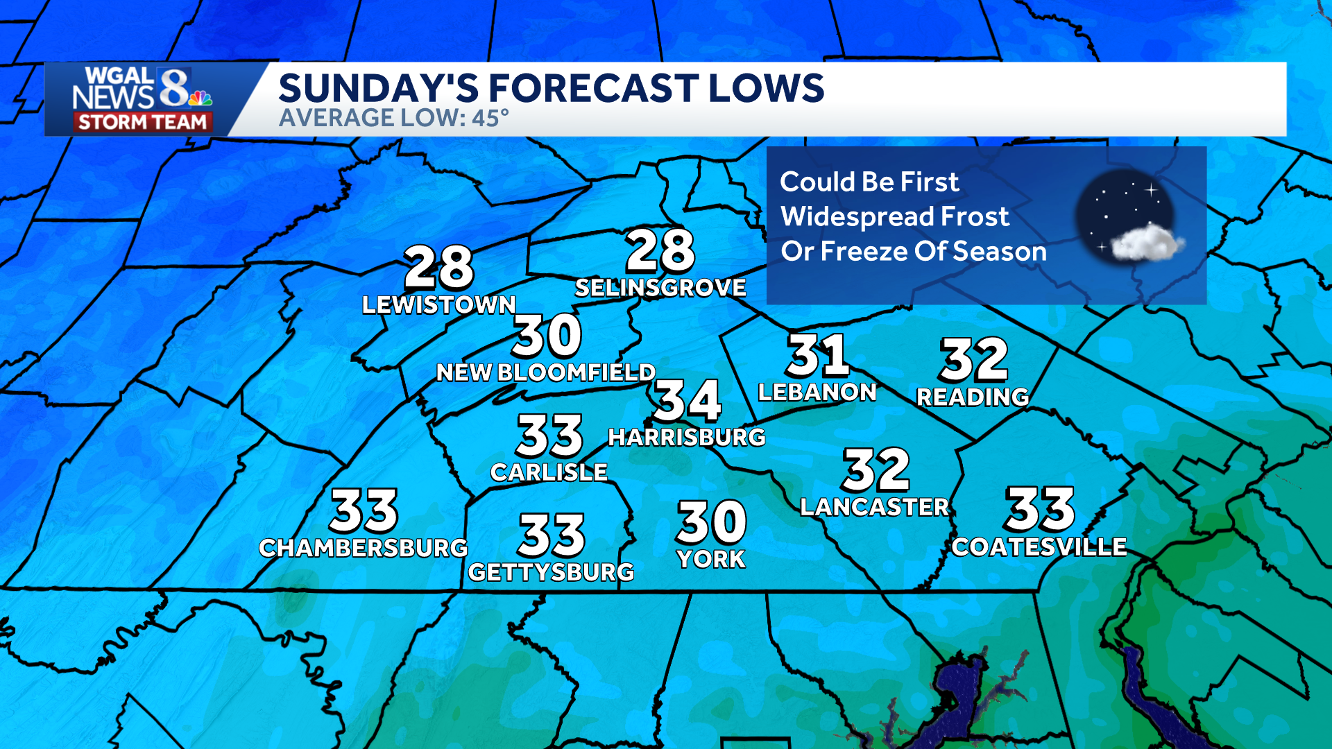
Temperatures will fall into the lower to middle 30s Saturday night, creating the potential for the season’s first widespread frost or freeze.
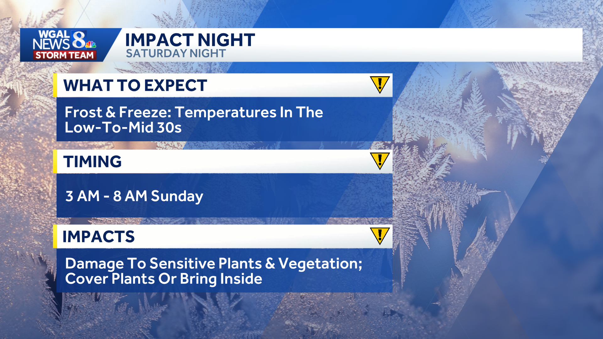
The greatest risk is expected between 3 and 8 a.m. Sunday. Frost or freezing temperatures could damage sensitive plants and vegetation.
Another round of frost could develop again Sunday night.