
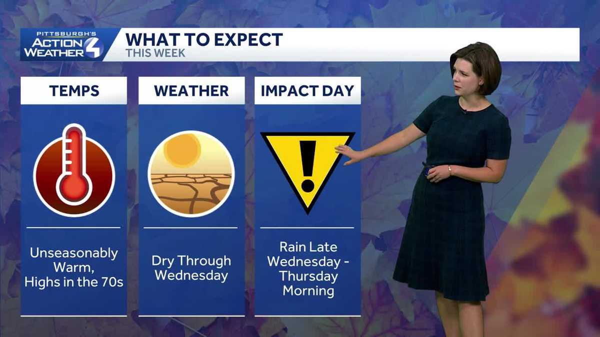
The first rain in over two weeks comes with an Impact Day for Thursday morning.
 PITTSBURGH —
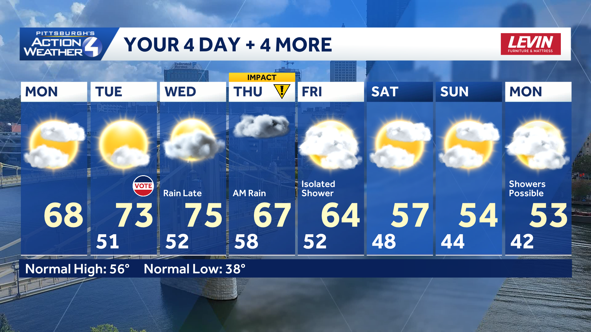
The warm and dry stretch lives on through mid-week. We are tracking the first rain in over two weeks. Showers are set to arrive Wednesday evening and linger through Thursday’s morning commute, prompting an Impact Day. Temperatures will drop next.
November warm up
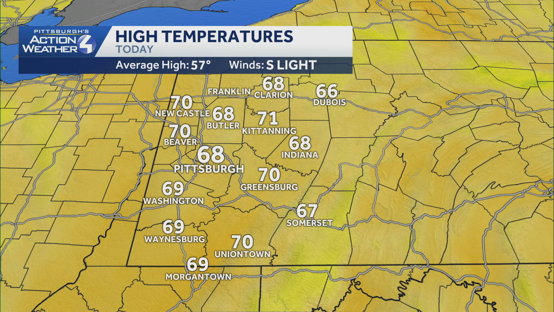
This morning’s temperatures are closer to Pittsburgh’s average high temperature. Readings will peak near 70 degrees as clouds reveal more sunshine late-day.
Hearst OwnedHearst
A very comfortable start to the week with highs near 70 degrees.
Highs will run 15 to even 20 degrees above-normal Tuesday and Wednesday. The warm stretch peaks Wednesday afternoon with highs in the mid 70s.
Hearst OwnedHearst
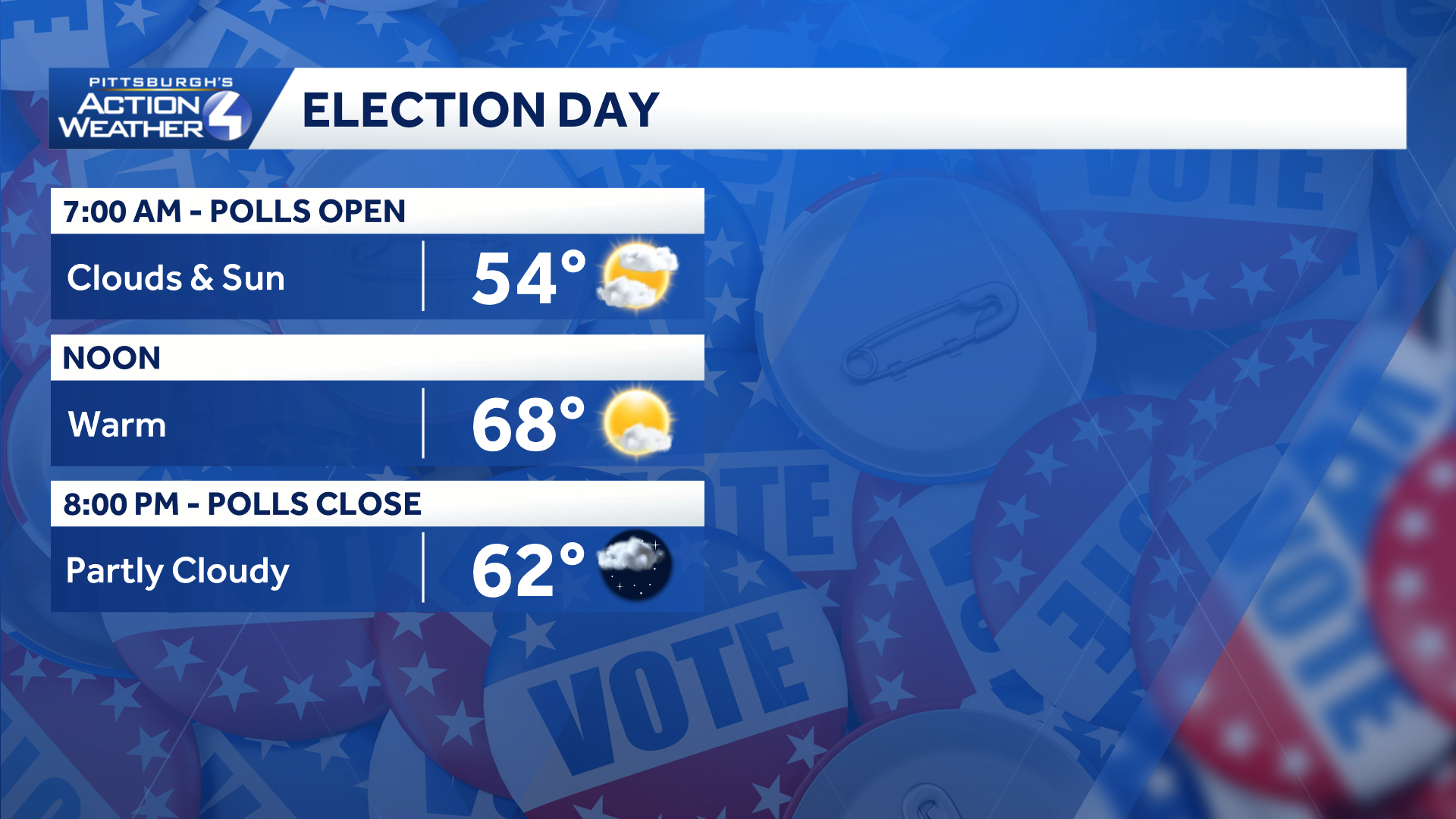
Dry and pleasant conditions are on the ballot for all of western PA Tuesday.
Rain returns late Wednesday, Impact Day Thursday morning
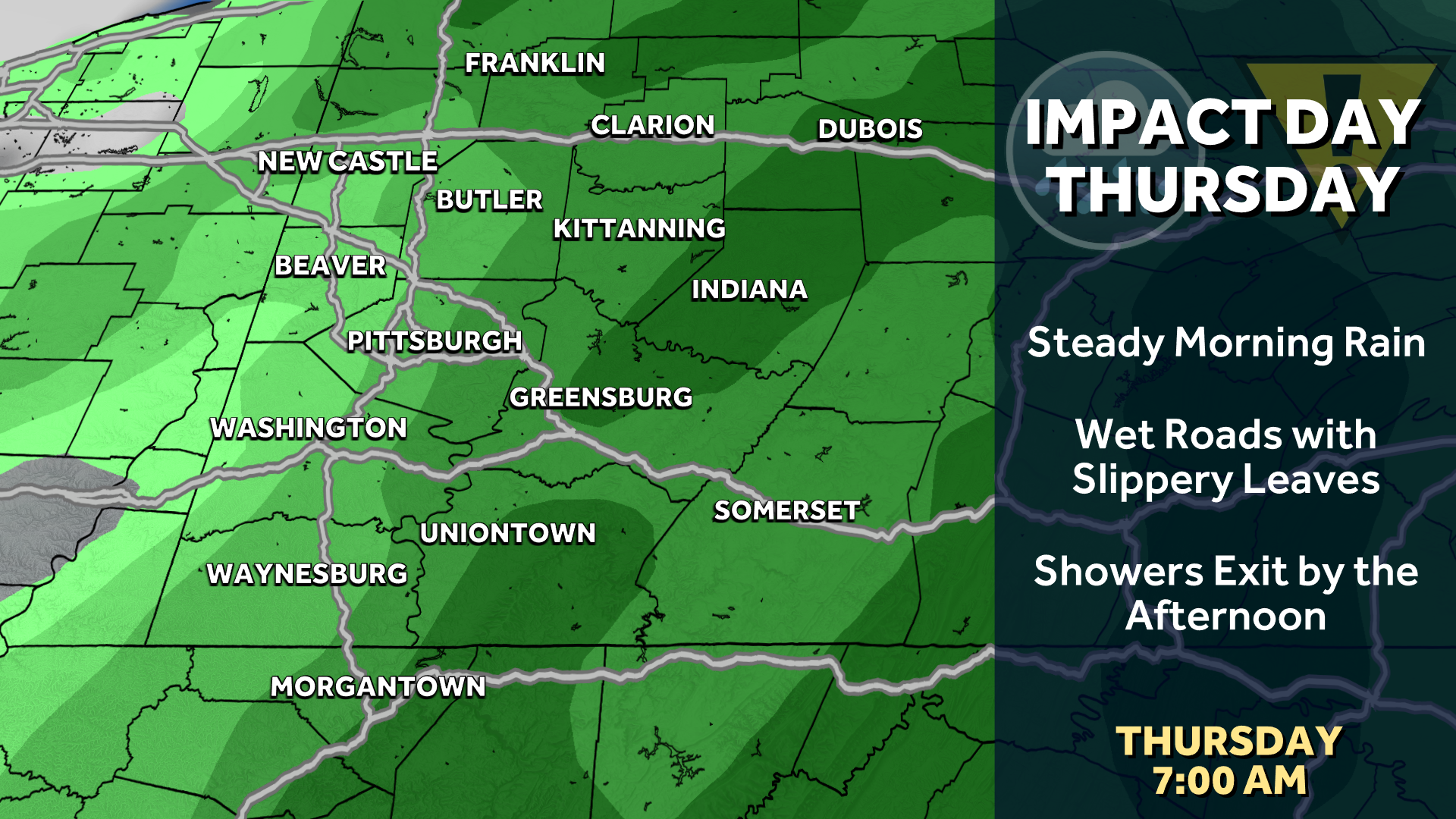
Rain returns Wednesday evening and continues through the Thursday morning commute. It is the timing of the steady rain that prompts Thursday’s Impact Day. This system will hang around the Ohio Valley through Friday with a chance of rain to end the week. Rain totals of a third to half an inch are expected around the Pittsburgh area.
Hearst OwnedHearst
Rain returns Wednesday evening and continues through Thursday morning, which is an Impact Day.
Cool down coming
It is not just the rain that changes the weather story. The late-week front will plunge temperatures closer to normal, if not below-average. Highs will be in the 50s for next weekend.
Hearst OwnedHearst
Temperatures cool down after Thursday’s Impact Day.
TODAY: Comfortable with morning clouds then some afternoon sunshine. High: 68°.
TONIGHT: Partly to mostly cloudy, low: 51°.
ELECTION DAY: Warm and becoming partly cloudy. High: 73°, low: 52°.
WEDNESDAY: Warmer with increasing clouds, rain arrives late. High: 75°, low: 58°.
THURSDAY – Impact Day: Morning rain, some afternoon clearing. High: 68°, low: 52°.