
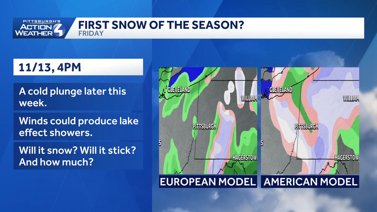
The Pittsburgh area, historically, see the first flakes of the season by mid-November.
 PITTSBURGH —
This week’s forecast will go from mild and dry to wintry around western Pennsylvania. Rain will show up first before a dive into the coldest air of the season. And, ’tis the season for the talk of the first snowflakes of the season. Snow, certainly accumulations, is not a guarantee for the entire area.
Impact Day Thursday: Rain developing
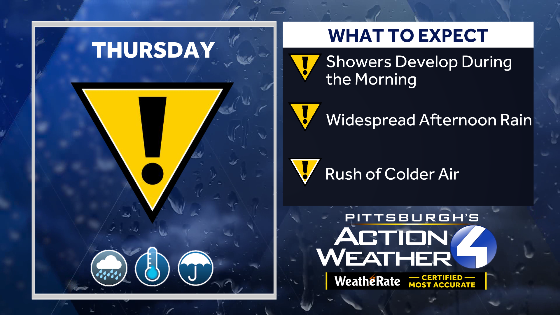
The unsettled weather begins with an Impact Day for rain on Thursday Rain showers start developing during early morning and become more widespread as the day goes on. Both commutes will likely features showers.
Hearst OwnedHearst
Rain showers will overspread western PA on Thursday.
Temperatures fall as a potent cold front ushers in much cooler air. Thursday’s highs will ranging from the 40s to lower 50s. The week will end with a wintry feeling.
What we’re tracking for Friday
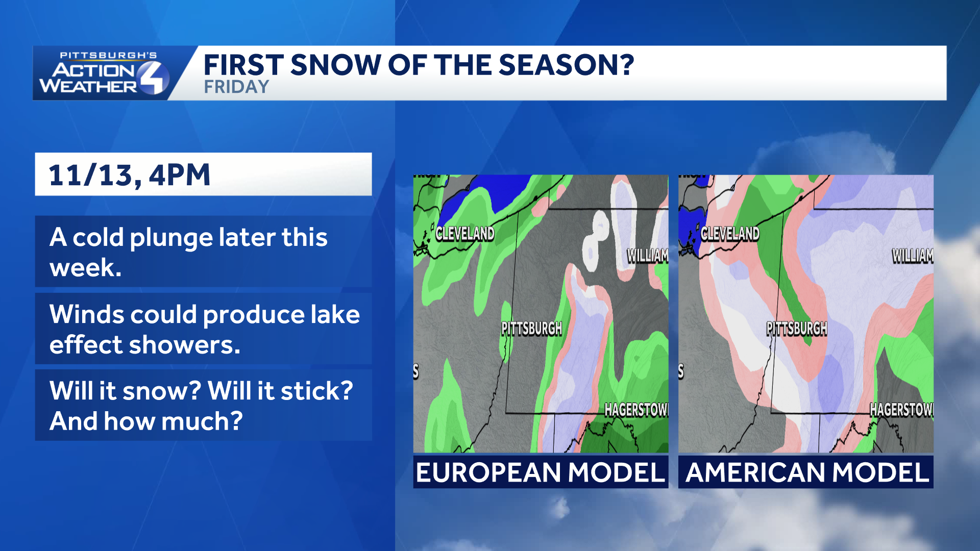
Temperatures may not get out of the 30s on Friday. If enough moisture is leftover, we will at least see a rain/snow mix Friday morning. The Laurel Highlands have a greater chance of seeing all snow, and some of that snow may also stick. At this point, accumulations look light, but we will be monitoring this as we get closer.
Hearst OwnedHearst
Model disagree on the coverage of Friday’s snow. The greatest chance is for the Laurel Highlands.
We stay cold on Saturday and more flakes are not completely out of the question.
Pittsburgh’s average first measurable snowfall typically occurs in mid-November. Limited moisture and “warm” ground temperatures could keep the flakes from sticking.
Details on the wintry changes will become clearer by the day. Stay with the Pittsburgh’s Action Weather team for the latest forecast updates.