
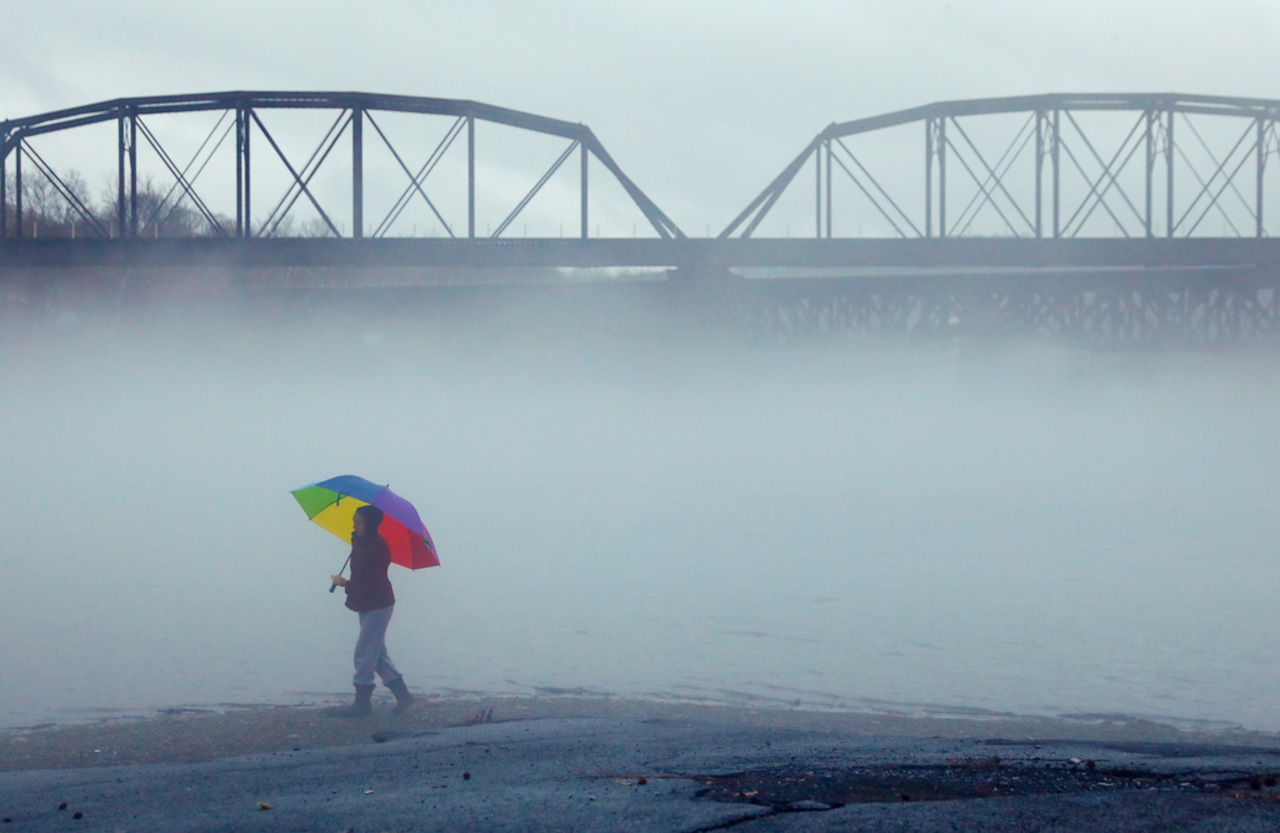
A Dense Fog Advisory is in effect for Lehigh and Northampton counties until 10 a.m. Wednesday, with visibility as low as a quarter-mile in some areas.
Temperatures will climb into the mid to upper 60s before a cold front arrives, with lingering showers and gusty winds expected later in the day, according to the forecast from the National Weather Service.
The morning hours will be characterized by dense fog, particularly in the Lehigh Valley and Poconos regions, as a warm front struggles to move through the area. Visibility may be significantly reduced, so residents should exercise caution while traveling. By early afternoon, fog is expected to dissipate, with some potential for breaks of sunshine.
A cold front will approach the region between 5 and 10 p.m. Wednesday, bringing more widespread showers and scattered downpours. At Lehigh Valley International Airport, after about a half-inch of rain fell Tuesday, there is a 20-30% chance of additional showers between 2 and 7 p.m. Wednesday.
Winds will pick up significantly after the cold front passes, with westerly winds 10 to 15 mph gusting up to 30 mph. Temperatures will drop quickly, falling to the low to mid-30s overnight, with upper 20s expected in the Poconos.
Thanksgiving Day and Black Friday will bring continued gusty winds and much cooler temperatures, with highs in the low 40s. Wind chills will make it feel even colder, potentially dropping into the teens Thursday night. The weekend will start cold, with Saturday morning temperatures in the 20s and afternoon highs in the low to mid-40s.
A slight warming trend is expected Sunday and Monday, with temperatures returning to near normal and a chance of light rain. Residents should be prepared for rapidly changing conditions and significant temperature swings over the next few days.
Current weather radar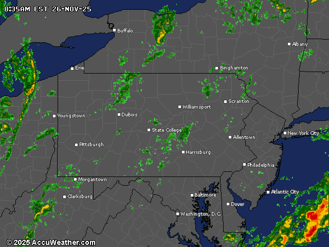
Generative AI was used to produce an initial draft of this story, which was reviewed and edited by lehighvalleylive.com staff.