
The long-duration lake-effect event that hammered parts of western, central, and northern New York through Thanksgiving and Friday will be winding down tonight. Heavy, localized bands off Lakes Erie and Ontario will weaken late tonight as high pressure moves in, giving the region a brief break on Saturday. But that break won’t last: another low-pressure system will bring a round of light snow and a rain–snow mix Sunday, followed by a colder, short-lived burst of lake-effect Sunday night into Monday. After that, attention turns to a potentially larger storm taking shape Tuesday.
Here’s what to expect through Monday, based on the latest from the National Weather Service.
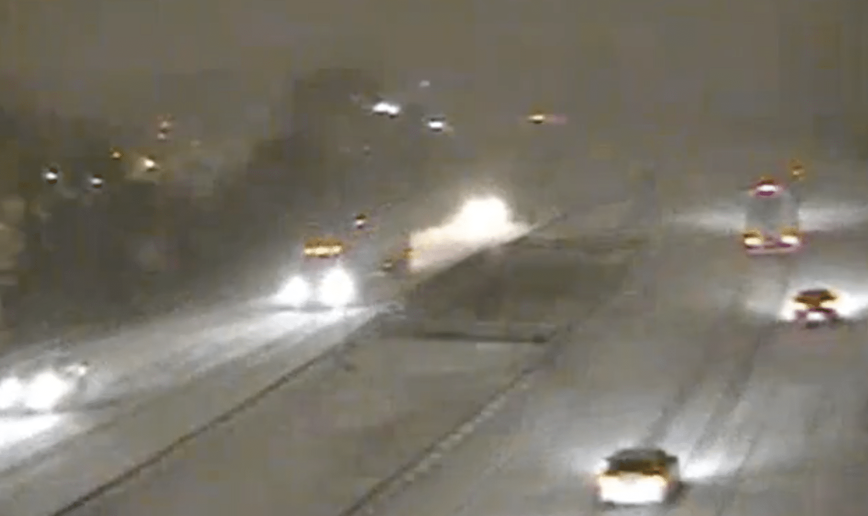
Friday night: Lake-effect snow slowly weakens, but travel remains difficult in warning zones
Heavy lake-effect snow continues in narrow but intense bands east and southeast of both lakes this evening, with snowfall rates still reaching 1–2 inches per hour at times. Gusts of 30–40 mph will continue producing blowing and drifting snow until late tonight.
Lake Erie (Southern Erie, Wyoming, Chautauqua, Cattaraugus, Allegany)Additional 8–12 inches possible in the most persistent bands through late evening.Highest totals across the Boston Hills, Chautauqua Ridge, and northern Cattaraugus County.Bands weaken overnight, ending by early Saturday morning.Lake Ontario (Wayne, Northern Cayuga, Oswego, Oneida, Madison, Onondaga)Additional 6–15 inches, locally higher in Madison and Oneida counties.The core band near Syracuse continues to wobble but remains intense through late evening.Snowfall rates up to 2.5 inches per hour possible early tonight.Conditions improve toward daybreak Saturday.Advisory zones (Southern Cayuga, Cortland, Chenango, Otsego, Steuben)Additional 1–4 inches, higher near Otsego County’s northwest corner.Steuben sees up to 2 inches with localized higher amounts in the southwest hills.
Travel remains hazardous through midnight, especially on I-81, I-90, the Thruway east of Rochester, and higher-terrain routes in the western Southern Tier.
Saturday: Quietest day of the weekend
High pressure pushes in after sunrise, shutting down the lake-effect machine.
Lingering flakes in northern counties early.Sunshine develops for the Southern Tier, Twin Tiers, and NEPA.Highs in the low–mid 30s.Light winds.
This is the best window for cleanup, errands, or travel before the next system arrives.
Saturday night–Sunday: Widespread light snow, then a rain–snow mix
A new low-pressure system tracks across the central Great Lakes Saturday night, spreading light snow into western and central New York after midnight.
Saturday nightMost areas pick up dusting to 1 inch by dawn.Temps fall into the low–mid 20s, allowing snow to stick quickly.Sunday morningLight snow continues through late morning.Valley locations and lower elevations gradually mix with or change to rain as temps rise into the mid-30s to low 40s.Higher terrain (Tug Hill, northern Oneida) may remain mostly snow.TotalsMost areas: 1–3 inches.Tug Hill/northern Oneida: 3–5 inches possible due to upslope enhancement.Sunday afternoonTransition to light rain or scattered showers.Breezy to windy; gusts 25–35 mph.Sunday night–Monday: Quick burst of lake-effect, then clearing
Cold air wraps in behind Sunday’s system, briefly setting up new lake-effect bands.
Accumulations look minor because the lake-effect window is short and drier air arrives quickly.Northern Oneida and the western Southern Tier may pick up another 1–3 inches.Lows drop into the upper teens and 20s.MondayHigh pressure settles over the region.Lingering flurries in lake-effect zones early.Otherwise partly sunny and cold.Highs only mid-20s to low 30s.Looking ahead to Tuesday: A larger storm taking shape
Forecast confidence remains low on the exact track and strength of Tuesday’s storm, but confidence is rising that widespread accumulating snow is likely somewhere across central NY and northeast PA.
GFS: farther northwest, warmer, heavier precipitation, mix possible.ECMWF/CMC: farther southeast, colder, mostly snow.Ensemble guidance (GEFS, NBM): 40–75% chance of 3+ inches over much of central NY and NEPA.Snow could begin as early as late Monday night.
More clarity will emerge over the next 24–36 hours.
Get the latest headlines delivered to your inbox each morning. Sign up for our Morning Edition to start your day. FL1 on the Go! Download the free FingerLakes1.com App for iOS (iPhone, iPad).
![]()
FingerLakes1.com is the region’s leading all-digital news publication. The company was founded in 1998 and has been keeping residents informed for more than two decades. Have a lead? Send it to [email protected].