
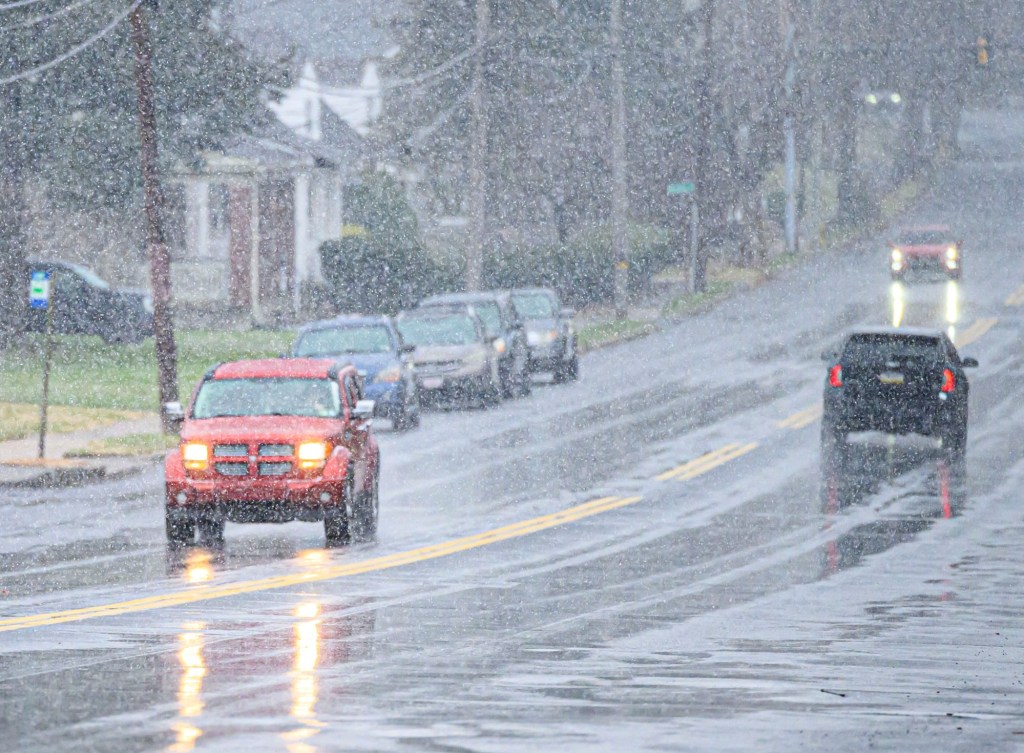
The Lehigh Valley could get a few inches of snow Tuesday while a storm makes its way through the area.
The region will be under a winter weather advisory from 4 a.m. to 1 p.m. Tuesday, according to the National Weather Service in Mount Holly, New Jersey. Forecasters said a wintry mix is likely before turning to rain later in the afternoon. Upper Bucks County is under the same advisory.
Between 2 and 4 inches of snow could fall, in what could be the first measurable snowfall of the season. The morning commute is expected to be affected by the storm.
North of the region, in the Poconos, a winter storm watch will be in effect from 4 a.m. to 10 p.m. Forecasters said between 4 and 8 inches of snow could fall in Carbon and Monroe counties.
Snow should turn to rain in the early afternoon, according to forecasters. Tuesday night should be clear.
The rest of the week should be clear as well. The weather service said there is a possibility of more precipitation Friday night, however details on that are not clear.
Here is the extended forecast from the National Weather Service:
Tuesday: Rain, snow, and sleet before 1 p.m., then rain between 1 p.m. and 4 p.m., then rain, possibly mixed with snow after 4 p.m. The snow could be heavy at times. High near 37. East wind 5 to 10 mph becoming north in the afternoon. Chance of precipitation is 100%. New snow and sleet accumulation of 2 to 4 inches possible.
Wednesday: Mostly sunny, with a high near 38. Northwest wind 5 to 10 mph becoming southwest in the afternoon.
Thursday: Partly sunny, with a high near 37.
Friday: Partly sunny, with a high near 29.
Saturday: A chance of rain and snow. Mostly cloudy, with a high near 38. Chance of precipitation is 40%.
Sunday: Mostly cloudy, with a high near 39.